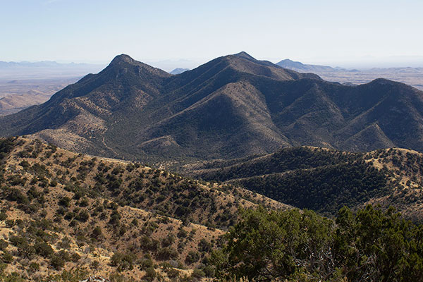
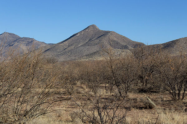
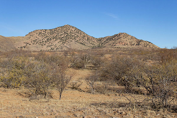
On Friday morning, February 23, I left Tucson for a weekend peakbagging trip in an area northwest of Wickenburg, Arizona. My first goal was to meet a climbing friend, Scott Peavy, the next morning to climb Arrastra Mountain. Arrastra Mountain is the highpoint of the Poachie Range. It has 1487 feet of prominence, making it the 159th most prominent peak in Arizona.
After slowly driving through busy Phoenix and a congested Highway 93 around Wickenburg I found my turnoff onto a gated and eroded dirt road. I drove in about 0.3 mile and found a nice campsite in a wash beside the road. I spent that evening and night here. Only two vehicles passed by my camp. Low trees and a ridge helped muffle the sound of the busy nearby highway.
Scott arrived at my campsite Saturday morning and joined me in my Jeep for our drive in to Arrastra Mountain. Scott has wanted to climb Arrastra Mountain for several years, but friends have advised him he would not be able to drive in to it using his Subaru.
Our drive in was on an often heavily eroded, rocky, and steep dirt and rock road that required my Jeep’s clearance, approach/departure angles, good tires, and 4WD. We reached our driving destination below Arrastra Mountain and began our climb.
We climbed the east-facing slopes and up the east ridge to a false summit. The footing was good and the brush was manageable.
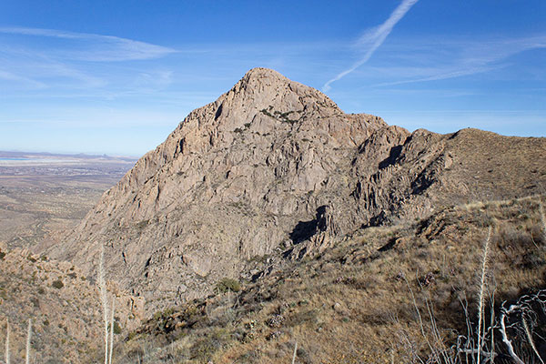
From the false summit we could finally see the summit ridge further to the west, with cliffs and rock towers guarding access to the summit.
A long steep rocky slope with occasional cliffs guarded the summit from below. The ridge to the right seemed the most promising route if we could get around the towers. Our first choice was to climb to the right of the rightmost tower with the hope of finding a route up behind the towers. But behind that tower were cliffs with tall, thick brush below. This stopped us.
We retreated and traversed brushy ledges to the left to get below the other towers and decide which gully between them to try. We eventually chose to climb the gully furthest to the left in case the other towers also had cliffs and brush behind them.
At first this gully went well, but higher the gully narrowed and we climbed over large rocks while pushing through unavoidable catclaw acacia. We hoped to find an alternative route down.
A little higher the gully opened up. I looked down the adjacent gully to the right and it looked promising for the descent. Soon we reached the summit where we found the POACHIE Benchmark and the summit registry.
I enjoyed reading the entries. We added our names, ate lunch, and enjoyed the views of distant mountain ranges and peaks. In every direction I recognized places I have visited over the past several winter seasons.
To the west I recognized distant Crossman Peak, which I visited on a cloudy day in January 2021. The Hualapai Mountains were visible to the northwest, Mohon Peak to the north, Weaver Peak and the Date Creek Mountains to the east, the Harcuvar Mountains to the south, and Buckskin Benchmark and Planet Peak to the southwest.
After a pleasing stay on the summit we started down. The adjacent gully was bouldery but stable and open. It was a much better route and went quickly. From there we returned to the false summit and descended back to my Jeep.
The drive out to the highway went well. Scott and I said our farewells and Scott returned home. I drove a few miles, then turned onto another side road to find a campsite before my climb of Tres Alamos the following day.
Leave a Reply