On Sunday, March 26, I joined Eric Kassan, Michael Berry, and Adam Humphreys in a quite pleasant climb of Apache Peaks in the Tonto National Forest north of Globe, Arizona. Apache Peaks is the highest point of the Blackjack Mountains. It is the 36th most prominent peak in Arizona with 2580 feet of prominence and 6940 feet of elevation. Last April I hiked Aztec Peak and on the drive home I explored the driving access to Apache Peaks. I found the access roads to be in good condition and looked forward to returning again for a summit attempt.
A white gate provides access to the roads leading into Apache Peaks. Eric, Adam, and I camped Saturday night just inside public land beyond the gate. Eric had a quick dinner and we visited in the darkness under the stars as I made dinner for myself. We felt celebratory after climbing Pinnacle Ridge earlier that day. We had a new peak to climb the next morning.
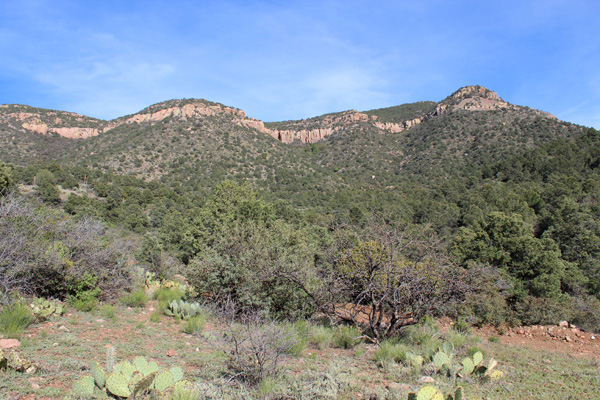
After breakfast on Sunday Michael joined us at the gate. We drove in and parked off Forest Road 220 where our climbing route began. The Apache Peaks summit appears as a the forested ridge above the cliff band on the right in the above photo. We climbed up the prominent ridge in front of us and through the cliff band on the left.

The west face cliffs of the upper mountain cast a shadow over us and across our ascent route as we began our climb. I was pleased how strong I felt after Saturday’s long climb.
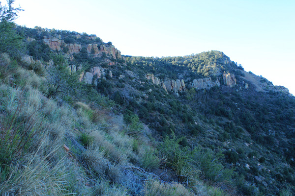
We climbed directly up a steep and sometimes brushy slope. Higher we found an unmaintained trail leading through cliffs to reach the upper plateau. I enjoyed the direct route up the slope and through the cliffs in nice temperatures.
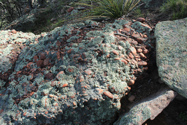
Above the cliffs we hiked through an open pine forest across the upper plateau. As we climbed the last slopes to the summit ridge I found many rounded quartzite cobbles strewn across the ground and embedded in blocks of rock. I tried to imagine how long ago these cobbles were shaped by creeks or rivers, cemented into a conglomerate, then uplifted to what is now the top of the Blackjack Mountains.
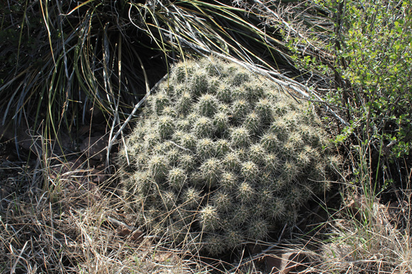
Cholla and large colonies of hedgehog cactus decorated the summit ridge. Views opened up around us as we looked for the highest point on the ridge.
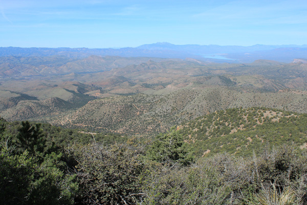
We relaxed on the summit and took many photos of the mountain ranges around us in the Arizona Transition Zone. We could not find a summit registry so Eric added one and we signed in.
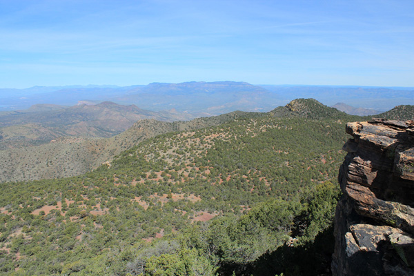
On our descent we followed the upper plateau further north before descending through loose cliffs and sometimes thick brush. I liked our more direct ascent route better. We drove out to the white gate and headed home our separate ways. It had been a quite productive weekend in the Arizona mountains.

Leave a Reply