In November I visited four Arizona lookout towers located on peaks of interest to me. The autumn had been dry so far, but I expected winter rain and snow to arrive soon and I wanted to visit the peaks before then. I was fortunate to have excellent weather for hiking and camping and the roads were dry. It was a fun and productive trip and I expect to return some day for a few more peaks in the same area.
Hutch Mountain
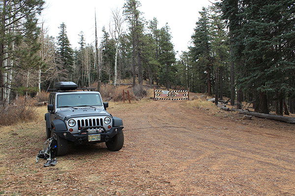
On Thursday, November 14, I drove from Tucson most of the way up Hutch Mountain to a locked gate at a saddle. From there I walked a short distance beyond the gate to the west summit and its lookout tower.
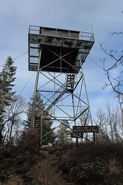
The lookout tower was closed for the season but I climbed a few steps to get a better view. Hutch Mountain is the high point of the Mormon Plateau. It is the highest peak around for 32 miles, which makes it an “Isolation” peak.
I also visited the east summit and had the mountain’s roads and summits to myself. From there I drove north and found a camping spot west of Sunset Crater National Monument.
O’Leary Peak and Lookout
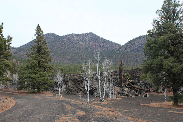
Friday morning I drove a short distance to the O’Leary Peak Lookout Road. O’Leary Peak is the highest of the peaks surrounding and including the Sunset Crater National Monument. It also has 1778 feet of topographic prominence and is the 96th most prominent peak in Arizona.
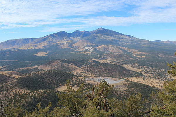
I parked near the locked gate and walked the road 5 miles to a high saddle. From here I hiked a use trail to the O’Leary Peak summit and enjoyed the views.
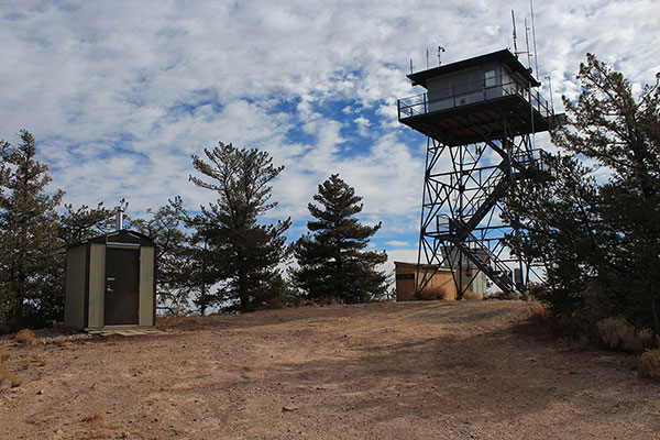
Then I descended back to the saddle and continued up the road to the O’Leary Lookout. I had the day to myself except for a few people I met on my descent.
That afternoon I drove through Flagstaff and found a campsite near Kendrick Peak at about 8000 feet. It was a cold night and I enjoyed my winter sleeping bag.
Kendrick Peak
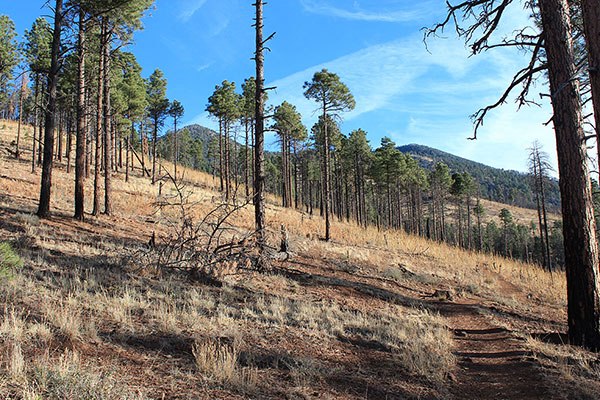
Saturday morning I found the Kendrick Mountain Trailhead and climbed the good trail to the lookout on the summit of Kendrick Peak. Kendrick Peak has 10418 feet of elevation and 2478 feet of prominence, making it the 39th most prominent peak in Arizona.
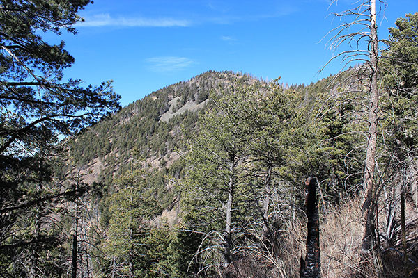
In spite of fire damage from the June 2017 Boundary Fire, the trail and summit views were scenic. I had another day mostly to myself and just passed a few people as I descended.
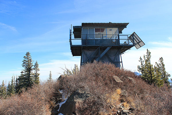
From the trailhead I drove south and found a campsite on the Agua Fria National Monument with a view of the South Bradshaw Mountains to my west. It seemed a balmy night at 4000 feet.
Towers Mountain
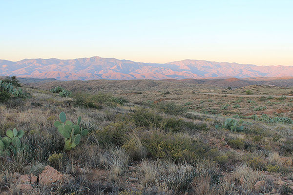
Sunday morning I hoped to visit the summit of Towers Mountain, the highpoint of the South Bradshaw Mountains. Towers Mountain has 1948 feet of prominence, making it the 79th most prominent peak in Arizona.
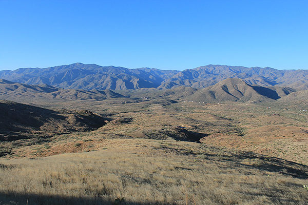
I drove the dirt/gravel Crown King Road 25 miles up into the steep and rocky mountains to the historic mining town of Crown King.
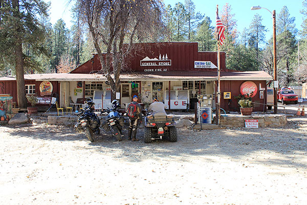
I bought some fudge and got directions from the owner of the General Store on how best to reach the Towers Mountain summit. She said the Towers Mountain Road was “rough” but I would do OK in my Jeep. She said the Senator Highway was “worse” and that settled the decision for me.
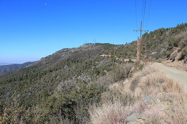
I found and followed the Towers Mountain Road up, passing several residences and once asking for directions at an unmarked junction. The road was steep, rutted, and rocky in spots. I was glad to have 4WD and high clearance. It was a treat to arrive at the summit below the lookout tower.
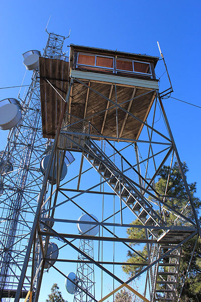
After savoring my success and the summit views I descended the same route and returned to Tucson. One week later two cold fronts passed through Arizona bringing heavy rain and snow.

Leave a Reply