On New Years Eve I hiked Atascosa Peak, the 77th most prominent peak in Arizona. Atascosa Peak is one of the “Coronado 12”, highpoints of the 12 units of the Coronado National Forest. There was a nice trail leading to the Atascosa Lookout site. From there I descended to the saddle north of the lookout site and up to the summit of Atascosa Peak, requiring cross country travel with some scrambling over class 2-3 rock and through some brush. The weather was ideal and I had the traverse out to the summit and back all to myself.
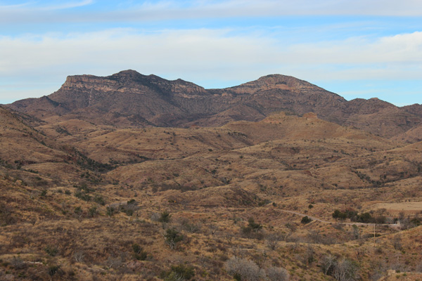
The above photo is of Atascosa Peak looking west from above Peña Blanca Lake near the end of Arizona highway 289. The lookout site is located on the high point on the left. The summit of Atascosa Peak is the high point on the right, about 1 mile north of the lookout site.
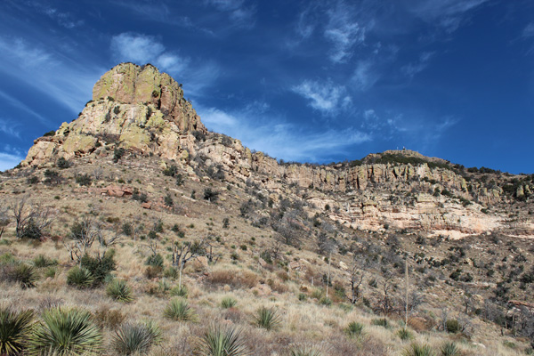
From the end of AZ 289 I continued driving west on Forest Road 39 about 5 miles where I found the Atascosa Trailhead. Others soon arrived and I followed behind them by about 20 minutes. The trail crested a saddle and passed through a gate and from here Atascosa Peak was visible for the first time above the trail. In this photo the lookout site is on the ridge to the right where some solar panels are visible. The trail traversed below the cliffs on the right and switchbacked left above them to reach the lookout site.
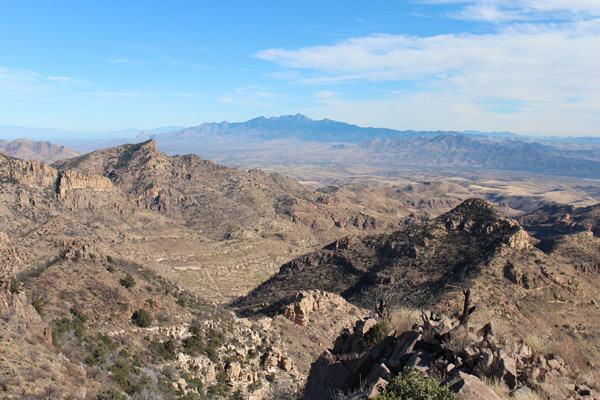
I met the other hikers at the Atascosa Lookout site. The Atascosa Lookout burned to its foundation during the Murphy Fire on 7 June 2011. The pinon and juniper forest along the trail near the summit also burned then, but the views from the trail and the lookout site were excellent. Eventually another hiker joined us. This is a very popular hiker destination.
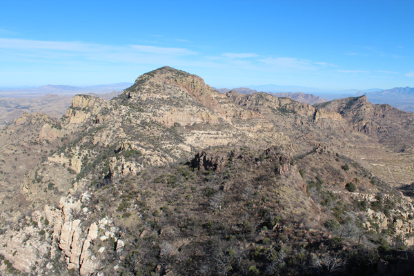
The summit of Atascosa Peak is about one mile north of the lookout site and appears quite impressive from that vantage. Most of the traverse to it from the lookout site is visible from there. To reach the summit one must descend to the saddle between them and travel cross-country following cairns where one can find them and occasionally scrambling over some class 2-3 rock.
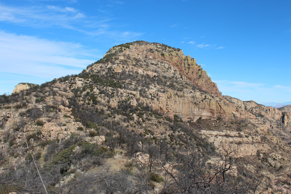
I began the traverse by walking to the northern end of the lookout site ridge and downclimbing some steep rock towards the saddle. Some of the rock appeared rather precariously stacked as I descended but was fortunately stable.
Once near the saddle I stopped for a closer view of the Atascosa Peak summit. I could see several bands of rock to climb over and some brush to push through. The rock bands were not high and it appeared that routes through them should be available. I found many burned mesquite, oak, and pine trees on the traverse.
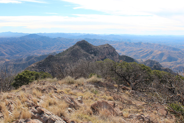
As expected, I was able to find routes through the rock bands and brush to the summit marked by a pile of rocks. The day warmed up nicely and the views were mostly clear – I enjoyed identifying many peaks I had previously visited and many more yet to visit.
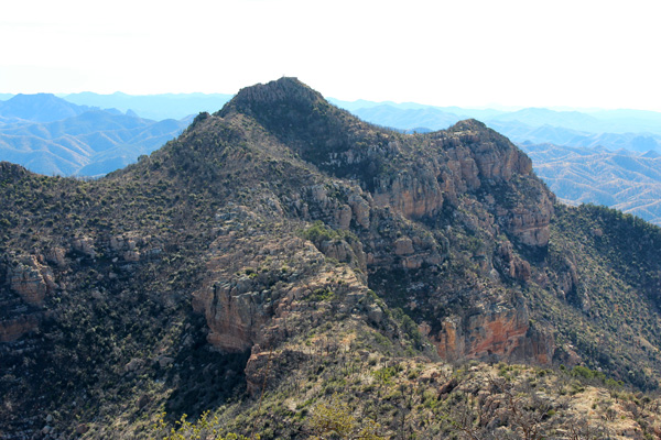
I soon started descending back towards the lookout site. The descent through the rock bands and burnt forest went quickly, as the cairns were more visible on the descent.
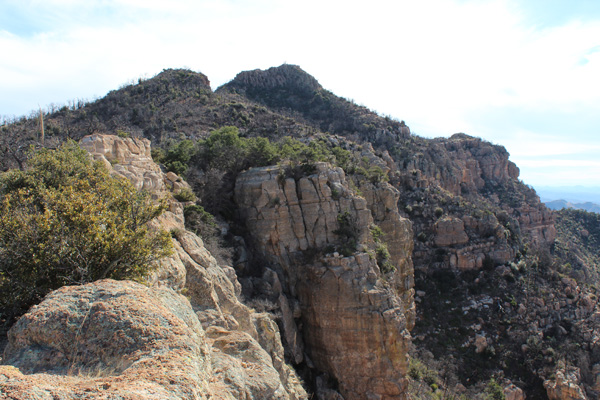
As I climbed back towards the lookout site I watched for a reported side trail bypassing the last cliffs, but could not find it. Perhaps the recent fires had caused subsequent brush growth to obscure the route. Instead I climbed back up the last steep rock and relaxed at the lookout site for a few minutes before descending the trail back to the trailhead. The other hikers were gone and I had the hike out to myself.

I remember seeing the mountain every time we visited Pena Blanca Lake back in the mid 80s. Brings back memories.