On Saturday morning, December 30, I left my dispersed campsite south of Bouse to climb Black Mesa east of Quartzsite. As best I can tell, there are at least nine Black Mesas in Arizona. One each in La Paz, Yavapai, Pima, and Gila counties, two in Navajo County, and three in Maricopa County. Last November I climbed the higher Black Mesa in Navajo County. This time I planned to visit the only Black Mesa in La Paz County.
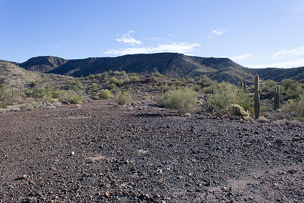
Black Mesa (La Paz) is the highpoint of the Plomosa Mountains, with 3639 feet of elevation and 1659 feet of topographic prominence, making it the 117th most prominent peak in Arizona. It is also the highpoint of the New Water Mountains Wilderness. I often see Black Mesa when Linda and I migrate to Arizona. It was time to visit.
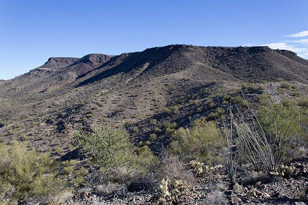
I drove through Quartzsite, then east on I-10 and took the Gold Nugget Road Exit (#26). Soon I turned south on a BLM dirt road. I followed a GPS track provided by another climber as roads diverged and merged in the washes and over short ridges. With my Jeep’s clearance and 4WD I was able to drive close to Black Mesa. I stopped below a short rocky climb where some rocks seemed to threaten the Jeep’s undercarriage if I continued.
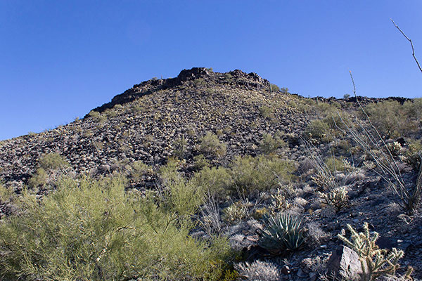
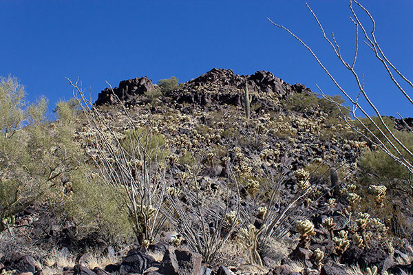
My route followed the road further up a switchback to a pass immediately southwest of Black Mesa. I left the road and followed the trace of an old 4WD road to just beneath the southwestern escarpment, then climbed a rocky slope through ocotillo and cholla to a breach in the cliffs. This breach was stable and easy to climb and I was soon on the Black Mesa, itself.
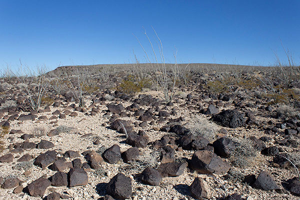
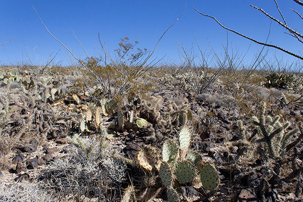
It was not obvious which bump on the horizon was the summit, but I made a guess with the GPS track as my backup. I hiked northeast across the mesa. Most of the route passed through ocotillo but nearing the summit I passed through a dense cactus garden of many species.
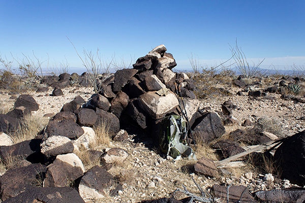
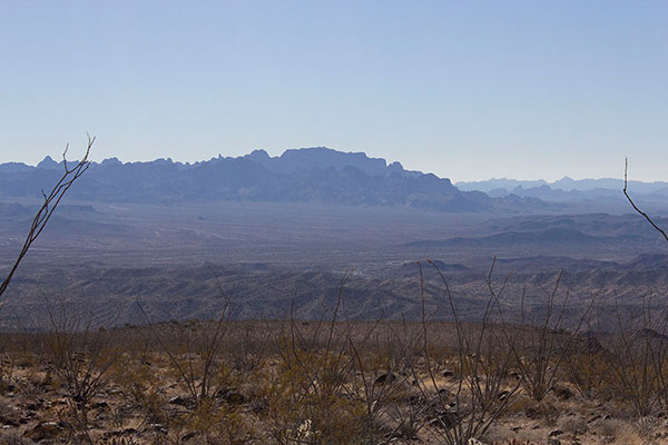
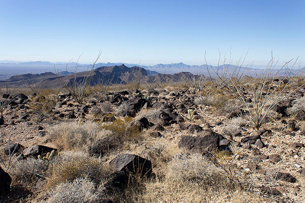
The summit was well marked by a large rock cairn where I found a recent summit registry. Here I relaxed over lunch reading the few registry entries, adding mine, and taking several photos of mountains around me.
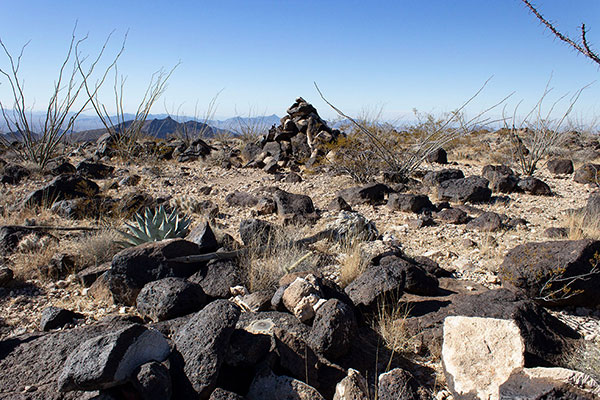
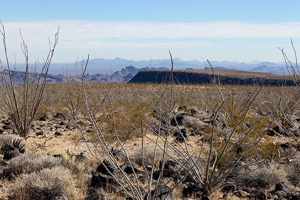
I checked my map and noted the BLACK MESA benchmark should be nearby so I looked for it. I eventually found it under rocks about 10 yards to the east. These rocks held a much older summit registry with entries dating back to the 1980s. I lingered reading many entries and added mine as well.
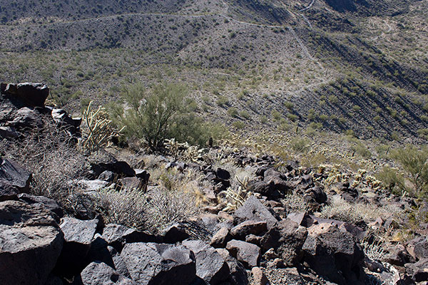
It was time to descend. I returned to the escarpment breach with the help of my GPS. The descent down the breach and cholla-infested slope to the old road track went well. The track and road hike back to my jeep was satisfying. I saw and heard many ATVs on my return and while packing up and encountered several on narrow roads on my drive out. It had been a pretty day and a fun visit to another Black Mesa.

Hi Paul,
I hope you remember me. I talked to you a number of years back about your dad. I met your mom Valerie and step-dad Wayne at the Memorial Day service at the Independence Airport. They both were very nice!! A Skyraider pilot friend of mine found a video of your dad flying his A-1E 133898 #3 on the cowl! Drop me a email ordy1jack@msn.com I’m also on facebook. I’m still in Salem BTW.