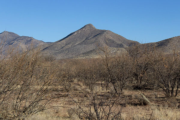
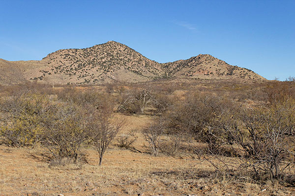
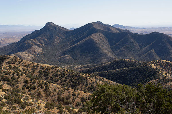
On Friday, February 7, I climbed Black Diamond Peak and Henry Peak (Peak 7155) in the southern Dragoon Mountains of Southern Arizona. I noted both peaks to the south when I hiked Sala Benchmark last December. I also noted at that time a road that climbed steeply up a canyon north of them. Indeed, the road proved to be drivable and I was able to visit both peaks on a pleasant winter day.
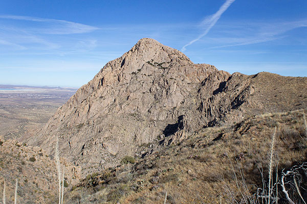
Black Diamond Peak has 7146 feet of elevation and 626 feet of topographic prominence. Its summit is a narrow NW to SE ridge with cliffs on most sides. The peak is named after the Black Diamond Mine, discovered by prospector Albert George in 1880. Albert George was killed in 1883 by the Apache, though the mine was quite productive for many years thereafter.
[Read more…] about Black Diamond Peak and Henry Peak, Arizona, February 2025