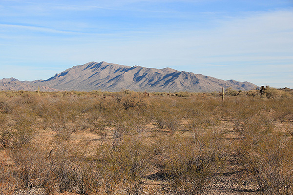
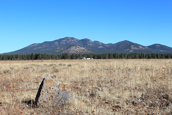
On Thursday, January 27, I visited the Santa Rita Mountains south of Tucson. Specifically I explored the northern extension of the Santa Rita Mountains that leads towards Mount Fagan. Here a ridge of little peaks has over 1000 feet of topographic prominence. However, it is not obvious from maps which peak is the highest and therefore gets the coveted prominence.
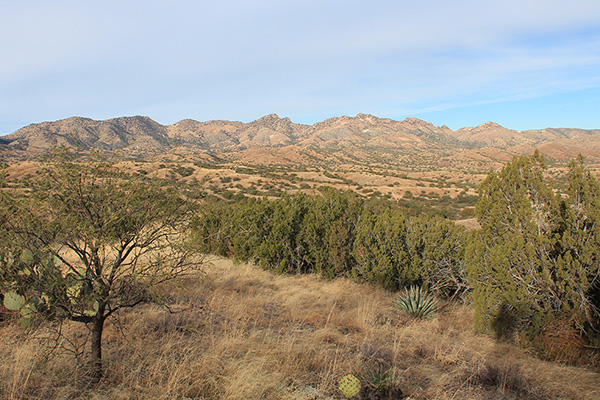
There seemed to be three candidate peaks. On the latest topographic map Weigles Butte has a surveyed elevation of 6284 feet. An unnamed peak about a mile south of Weigles Butte has a surveyed elevation of 6290 feet (“Santa Rita Peak 6290”). Between these two is another unnamed peak, without a surveyed elevation, but with a contour interval indicating it has at least 6280 feet (“Santa Rita Peak 6280+”). The current consensus amongst peakbaggers is that Peak 6280+ is the highest. Matthias had recently climbed this peak and thought the same. This ridge is quite visible from our bicycling routes on the east side of Tucson. So I decided to visit these peaks to decide for myself.
[Read more…] about Santa Rita Peak 6280+, Arizona, January 2022