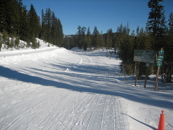
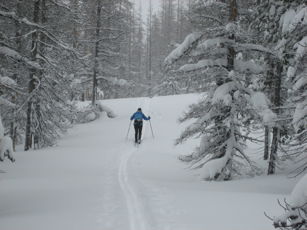
As I noted as a comment to my previous post about the low and icy snowpack it resumed snowing a few days after that post. It continued snowing, heavily at times, and the snowpack dramatically recovered.
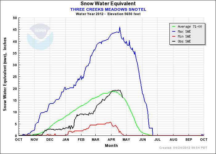
This can be seen in the following graph of “snow water equivalent” in the snowpack at Three Creeks Meadow, not far from my home. Within a week the snow water equivalent tripled from 3 to 9 inches. The snow water equivalent then plateaued until March when it started a steady increase until it met and surpassed the 30-year average.
This pattern of alternating local winter drought and storm is not uncommon. Often one is tempted to extrapolate from late autumn conditions to the rest of the ski season, but this has proven to be unreliable.
[Read more…] about More Snow – More Backcountry Skiing 2012


