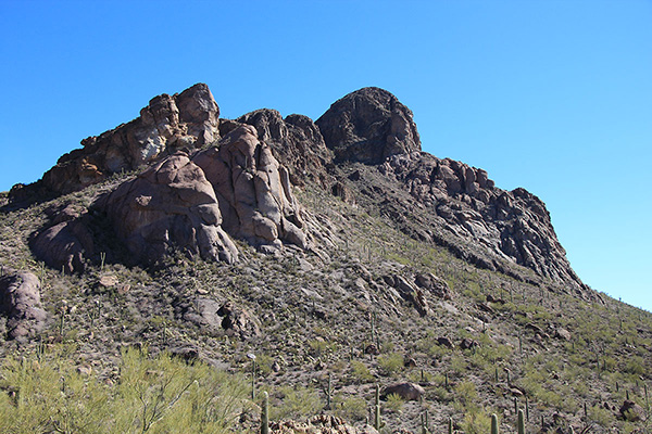
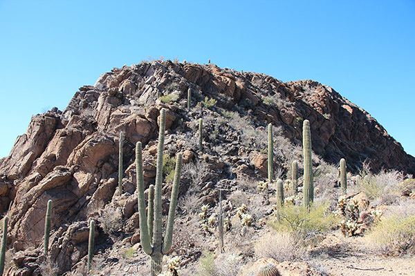
On Friday, February 5, I finally climbed Cat Mountain in the Tucson Mountains, just north of Arizona Highway 86 west of Tucson. Many times I have traveled beneath it on my way to or from mountains to the west and noted its steep south face. I’ve often recognized its distinctive profile from our bicycling routes in Tucson.
Friday morning I parked at the Sarasota Trailhead close by to the northwest of Cat Mountain. This is a very popular trailhead for day hikers, but I had no trouble finding a parking spot. I followed the Sarasota Trail towards the peak.
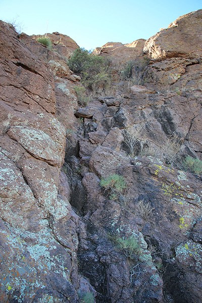
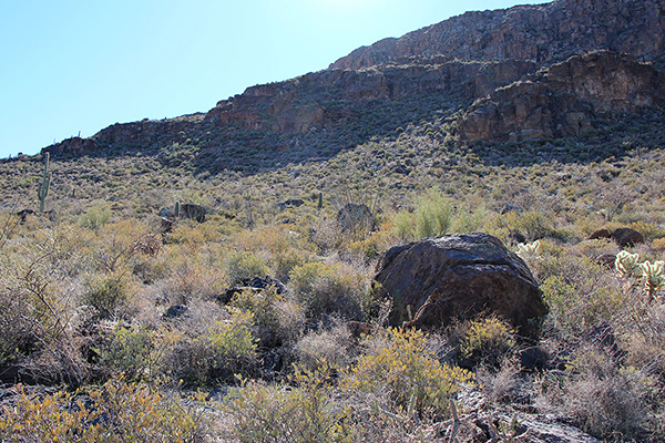
Near the pass between Cat Mountain and “Little Cat Mountain” (Peak 3310) I left the trail and traversed up to the right towards a westerly-facing gully, using some rock ledges to avoid some brush and loose rock.
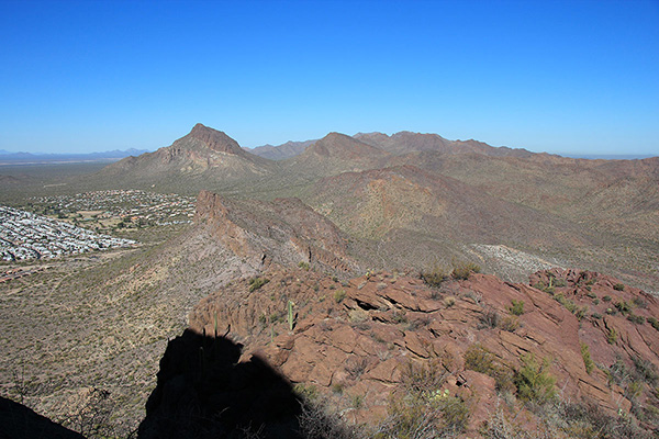
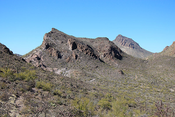
The steep gully had good footing; boot tracks allowed me to avoid most of the brush. Higher the gully passed below steep cliffs and led to a saddle beneath the northwest corner of the peak. The saddle provided a nice view to the north of the crest of the Tucson Mountains. Golden Gate Mountain, which I climbed five years earlier, stood prominently to the west of the crest.
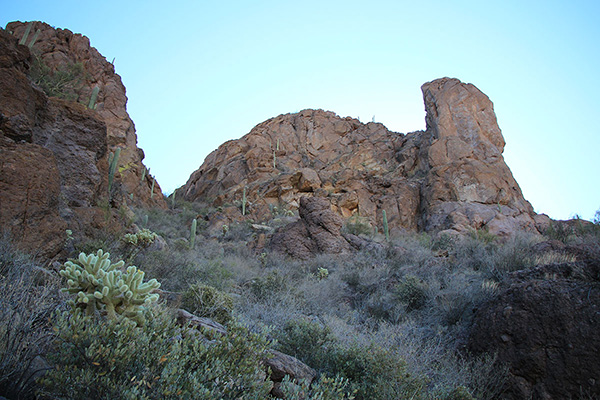
From the saddle cairns helped me find a scrambling route through cliffs up clean rock to reach the summit ridge. It was an easy walk along the ridge to the summit.
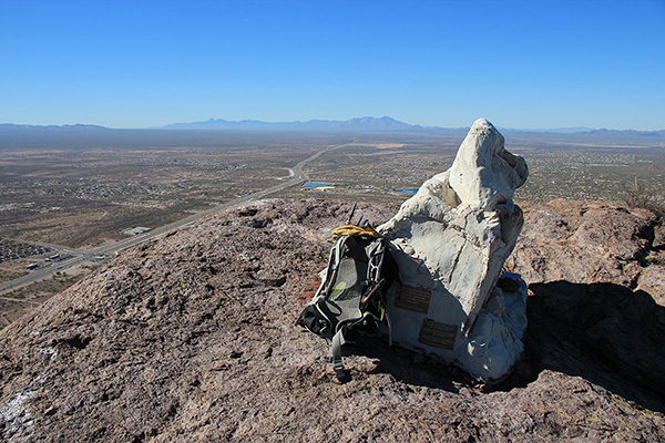
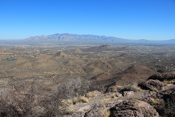
The summit is decorated with a fake white rock that houses a solar-powered Pima County repeater. I enjoyed the summit alone; I entered my name in the summit registry and enjoyed the views of Tucson and the surrounding mountains. Just as I was leaving I spotted a climber ascending the east ridge. It was his turn to enjoy the summit in solitude.
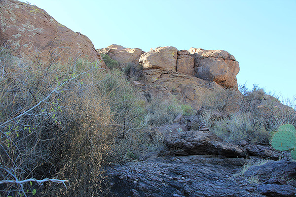
To complete a loop I descended the east ridge past one steep and exposed section, perhaps the crux of the east ridge. The ridge leveled out below that and I found a steep route down the north face of the peak.
Below some loose rock I scrambled down a short cliff. This seemed a dangerous route. On the lower north slope loose rock hid below brush. I carefully descended the slope and reached the Explorer Trail.
I followed the Explorer Trail northwest, passing beneath “Little Cat Mountain” to connect to the Sarasota Trail. From there I returned to my Jeep. It was pleasing to finally visit Cat Mountain and get to know this local landmark better. I expect to return again.

Leave a Reply