On Friday, September 13, I left our home in the Baker Valley and drove into the Elkhorn Mountains along Rock Creek. I parked at the Killamacue Trailhead, and began my attempt to climb the East Peak of Chloride Ridge. From the east, Chloride Ridge leads south, then turns west above the North Fork of Rock Creek. Chloride Ridge has several little summits. Two of them have at least 300 feet of prominence, qualifying them as peaks in their own right according to those who keep track of such things.
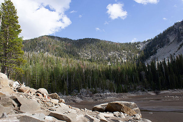
The eastern-most summit of Chloride Ridge (Chloride Ridge East Peak) lies above to the southeast of Killamacue Lake, a reservoir used to provide irrigation water to the Baker Valley. The Killamacue Lake Trail provides access to the lake, and I hoped it would get me close enough to the East Peak for a feasible ascent.
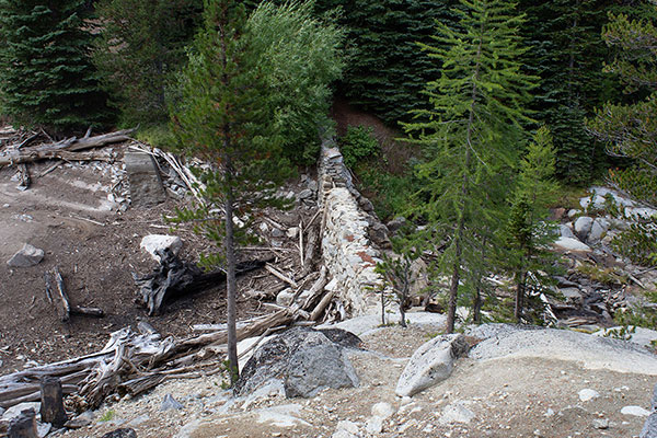
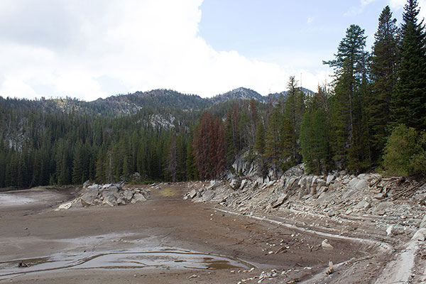
I left my Jeep and followed the sometimes steep Killamacue Lake Trail to the lake. When I arrived at the lake dark clouds hung over the ridge, there was a stiff breeze, and I had some doubts about continuing. Last summer I had experienced the same conditions and had decided to turn around then. This time the weather forecast was favorable. I relaxed a bit and ate an early lunch while watching the clouds. The temperature seem to drop as I rested.
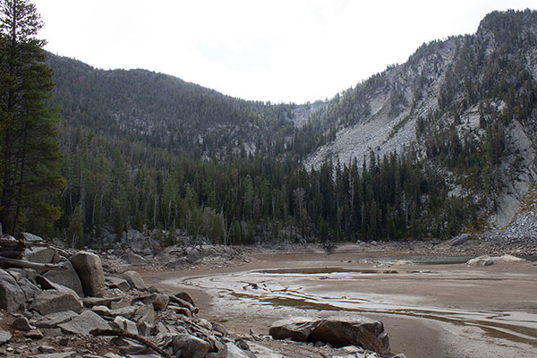
This time I decided to at least scout access to the talus-filled gully leading up onto Chloride Ridge. So I began traveling south through the forest above the lake’s east shore towards the gully.
I was surprised how open the forest was here, and I made good progress climbing a forested ridge towards the upper portions of the gully. The ridge leveled off higher. Steeper slopes and some cliffs rose above me. The weather was not getting worse and I had time and ambition, so I continued, traversing right towards the gully across a talus field.
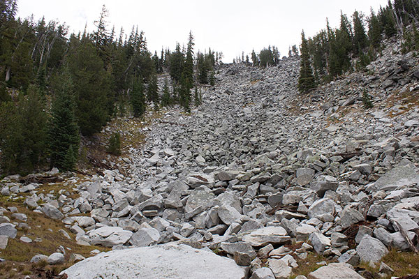
I have read sad stories of solo hikers who have been pinned by unstable talus. Years ago I met Silas Wild, a quite experienced North Cascades climber, who described to me how he was injured and trapped by talus. With the essential help of his partner they were able to free him.
Being alone, I especially noted the stability of the talus here. I decided it was acceptable to proceed with caution. The talus was stable, and none of it shifted on the climb or descent. When I could I bypassed talus onto grass and heather slopes to reduce the risk.
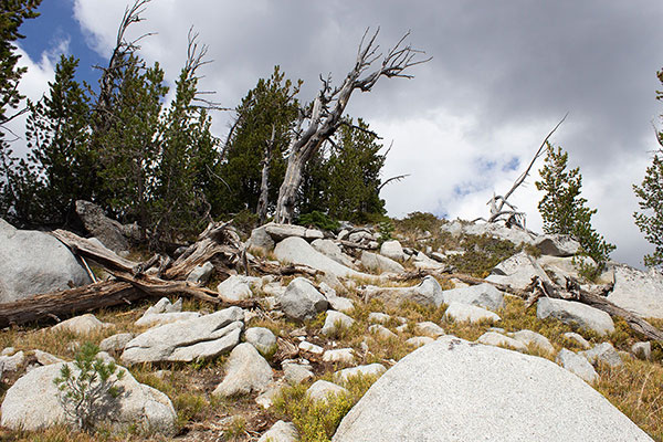
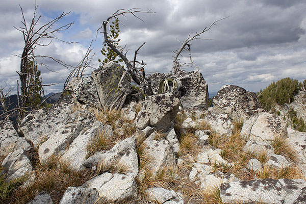
Entering the gully I then climbed two talus slopes and reached Chloride Ridge. I needed to follow the ridge to the north to reach the East Peak. It was getting a bit late but if I could find an efficient route along the ridge I thought I could summit. The ridge line was defined by rocks and cliffs but I was able to descend a short distance to the south to more open and easier terrain traversing below these cliffs. Indeed, the route worked well and I reached the East Peak.
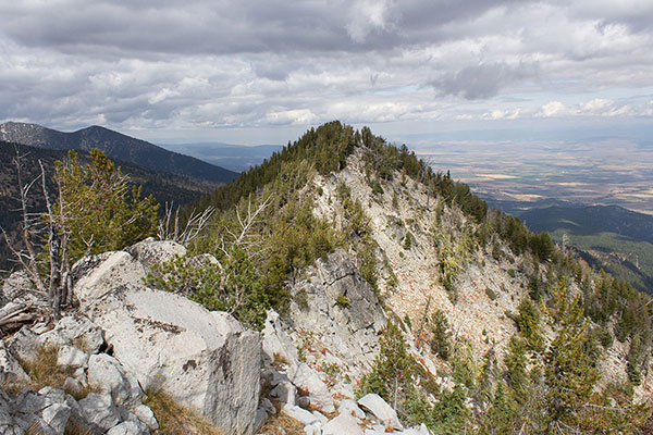
At least, I reached the point with a spot elevation indicated by the USGS topo map, and also claimed as the summit by a previous climber. Nearby, to the NNE, rose another candidate peak having the same topographic contour as the peak I was on. It was too late and I was too tired to descend and climb this other peak to be sure I had tagged the highest point. I studied the profile of the other peak against the horizon and decided that most likely I had reached the higher point. The previous climber had apparently thought so. Perhaps the USGS thought so, as well.
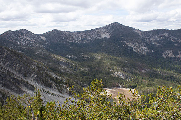
I enjoyed the views. Red Mountain rose high above Killamacue Lake to the northwest. I climbed Red Mountain in September 2014, starting from the North Powder River on its far side.
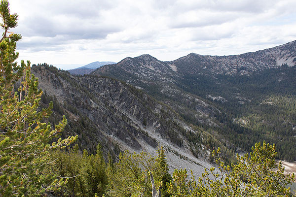
I noted how far away the North Peak of Chloride Ridge was, and doubted that I could reach it from Killamacue Lake on another attempt. But, looking at my map, I spotted a possible alternative access point worth exploring another time.
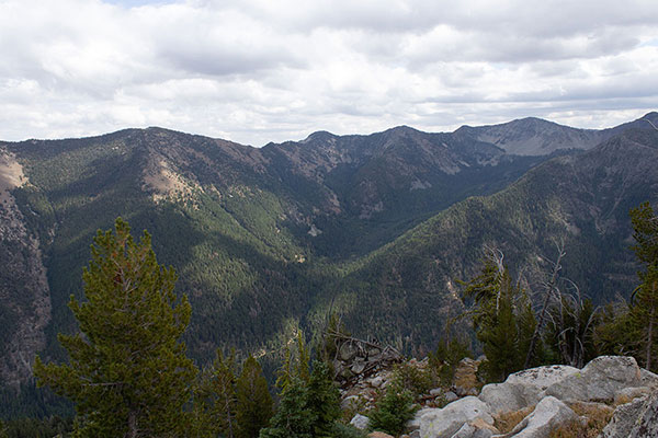
The Highland Mine Site/Ruins lay in a cirque across the Rock Creek Valley to the south. Last June I camped at the site. With an early start the next morning I was able to finally summit Hunt Mountain from there.
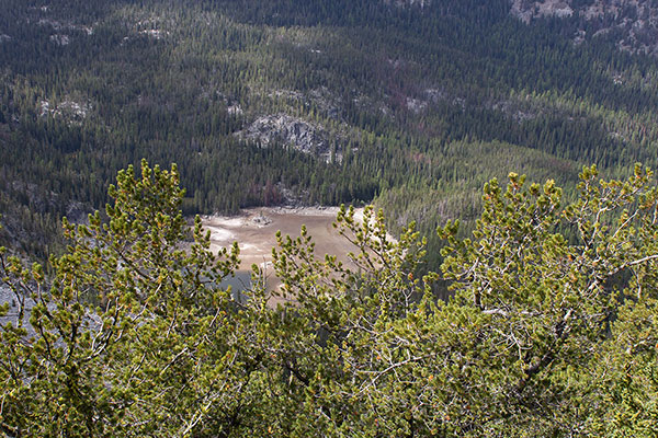
It was late and I needed to descend. I returned to the talus slopes and followed them further down the gully than my ascent route. Entering the forest lower I discovered it was mostly open here as well, with only a few fallen trees to climb over. I returned to the Killamacue Lake Trail and followed it back towards my Jeep.
As I crossed the third bridge over Killamacue Creek I knew I was getting close to the end of the hike. My legs felt wobbly the last half mile. I should hike more often to keep my stamina better conditioned. I reached my Jeep and thankfully removed my pack and boots, then enjoyed an easy and celebratory drive back to our home.

Leave a Reply