On Saturday, October 5, I left our home in the Baker Valley to attempt the West Peak of Chloride Ridge. The previous month I had climbed Chloride Ridge East Peak, and I decided then that my best chance to reach the West Peak of Chloride Ridge was from Western Union Basin and Mayflower Meadow, above the North Fork of Rock Creek.
I followed Forest Road 5520 as it climbed beside the North Fork of Rock Creek. It was at times eroded and often steep, requiring high clearance and 4WD Low from my Jeep. The road forked, climbed more steeply, and became rockier. But I was delighted to find it was quite passable high into the basin.
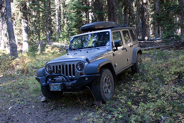
I parked just before a creek crossing where I decided I was close enough to start hiking. My Jeep has its quirks, but it has taken me so many places I would not dare drive any other car I have owned.
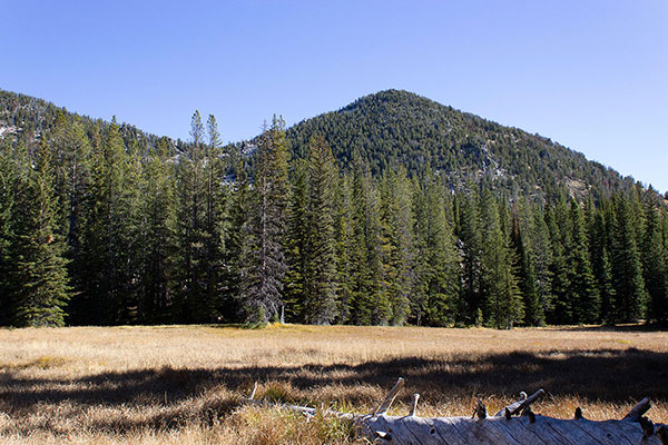
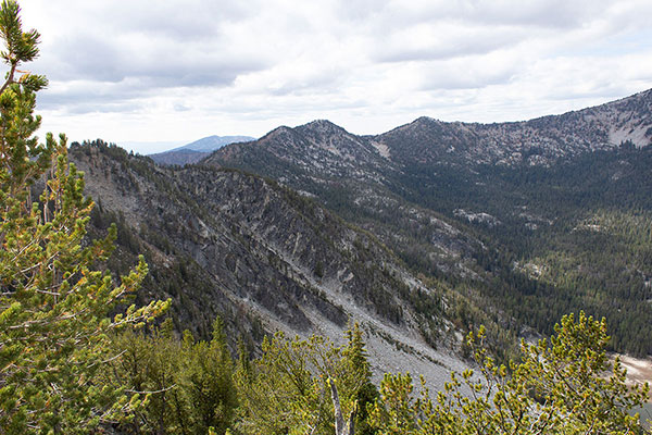
Leaving my Jeep I hiked higher on forest roads and reached Mayflower Meadow. From there I had a good view of the southwest slopes of the West Peak and identified a notch I hoped to climb to gain the West Peak’s rocky northwestern ridge. After crossing the grassy and at points marshy meadow I entered an open forest and climbed higher towards the notch.
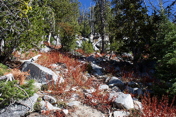
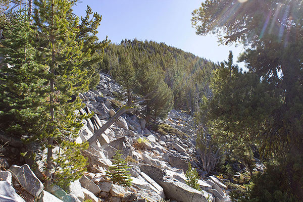
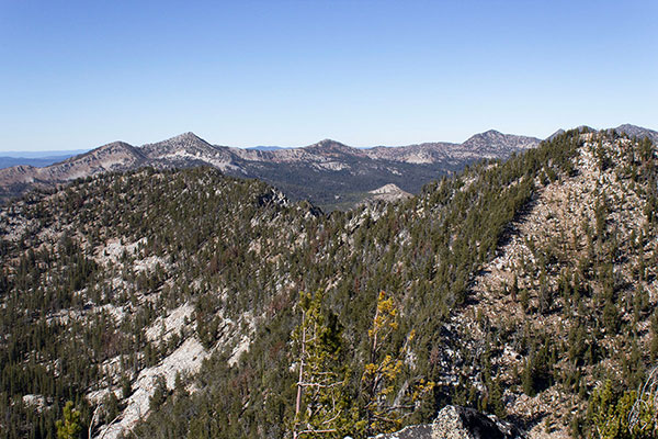
The steep lower slopes were a mixture of rock and firm soil. Higher, I found a talus slope and pondered my options over an early lunch. Rather than traverse more directly towards the summit across large blocks I continued higher over talus and reached the ridge just to the left of my target notch.
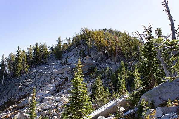
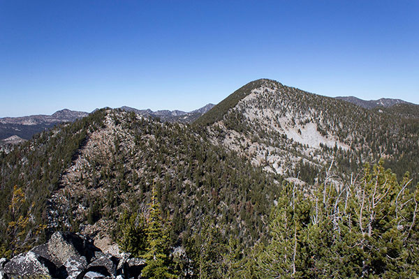
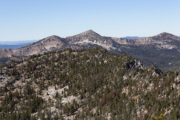
The ridgeline seemed to be defined by steep rocks sometimes obscured by forest. An open, rocky slope to the left (north) side of the ridge tempted me and I followed it as far as I could. As I expected, the north slope become steeper and more challenging. Here I climbed up directly towards the ridgeline, passed through an opening, and moved to the south side of the ridge.
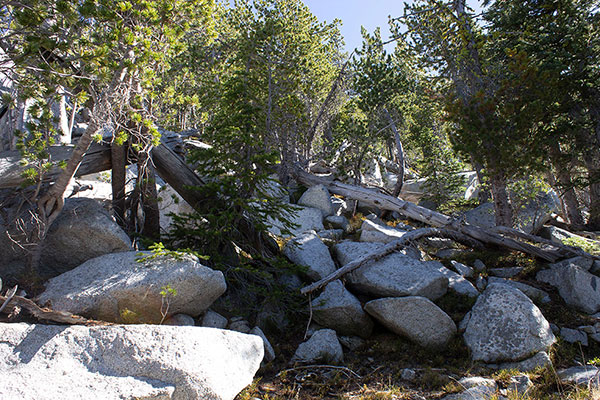
The south side of the ridge was open forest and boulders. The boulders were easy to climb over as I passed below cliffs to my left. I was hopeful that I might find a route to the summit. Higher I reached a last notch between two candidate summit rock points.
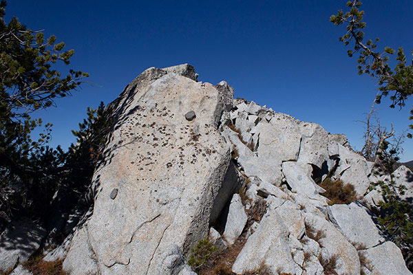
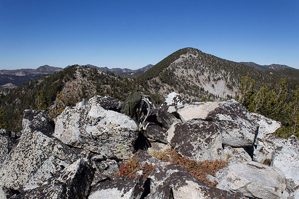
The summit to my left (west) seemed higher and I visited that one first. I found no summit registry; this is a rarely visited summit.
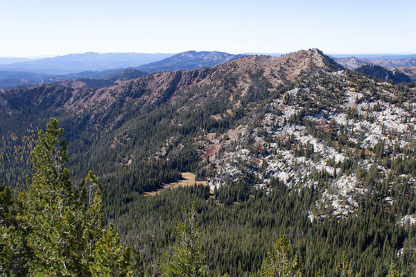
The skies were unusually clear from smoke this summer day and I enjoyed the views of the peaks around me. My location provided a different perspective of the Elkhorn Mountains than what I had seen before. I recognized many Elkhorn peaks I have visited over many years past.
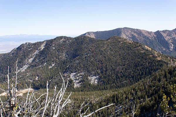
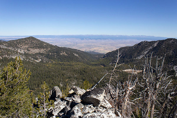
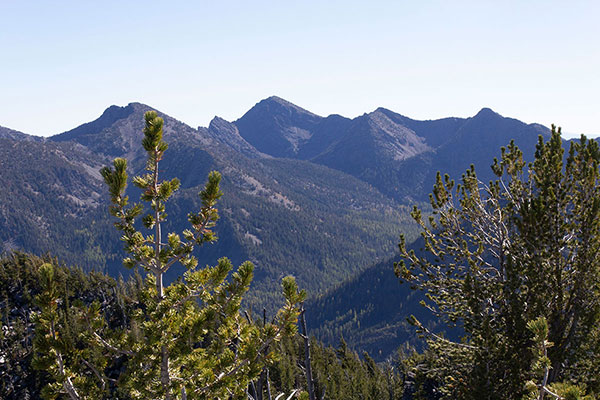
Looking to the east I could see Killamacue Lake and Chloride Ridge East Peak. The view confirmed that the route I had taken this day was by far more feasible than any route from the lake. To the west I identified one more peak I wanted to visit, informally named Summit Point. I planned to return to Western Union Basin one more time this season for it.
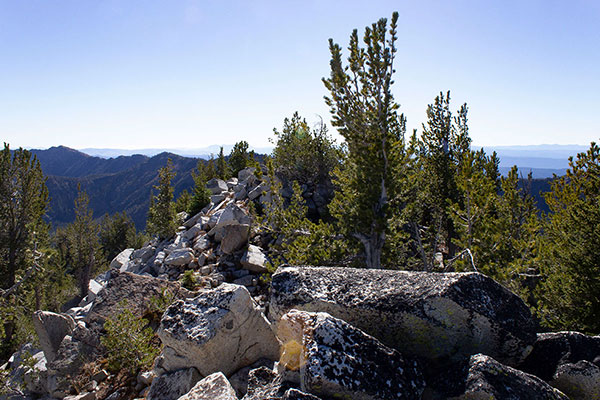
Before leaving I visited the alternative summit to the east. I think the summit to the west is higher, but it was important to tag both to be sure to have visited the highest.
I descended my ascent route back to Mayflower Meadow, Western Union Peak, and my Jeep. I drove back to our home in good spirits and hopeful for one more successful climb to finish the season.

Leave a Reply