On Thursday, March 26, I visited Como Benchmark, the highpoint of the South Comobabi Mountains west of Tucson. The day was overcast with a low chance of showers but the schedule was open and I was eager to get back to working through my peak goals for this winter season.
I had previously scouted two road options. This day I selected the one that got me closer to the base of the mountains but required a bit more cross country travel. I parked beside a primitive road soon before it ended in a discrete spot.
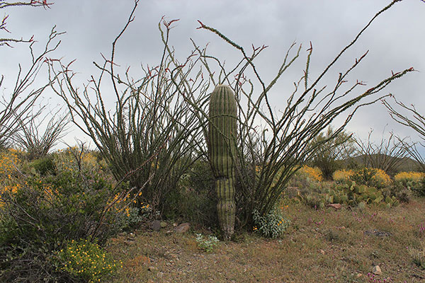
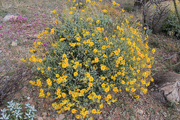
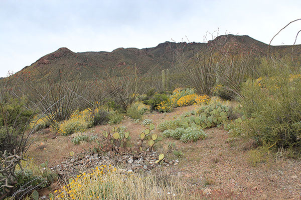
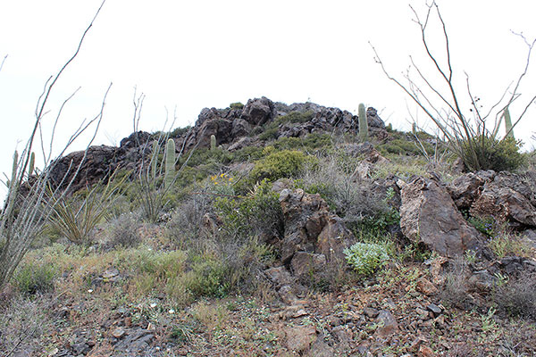
My route started through mostly open country and led through openings in desert brush and cacti. I passed ocotillo, saguaro, and prickly pear cacti and flowering brittlebush.
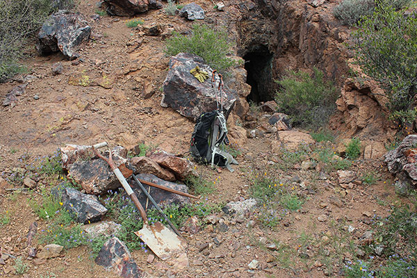
Eventually I entered a former mining area and I found the miner’s trail switchbacking upslope to an abandoned mine. Some mining hand tools lay on the ground near the opening of a dark, deep mine. I saw another opening higher in the cliffs above. Greenish rock suggested it might have been a copper prospect. Nearby mines produced copper, silver, and gold. I thought about the strenuous and dangerous life of miners in the past.
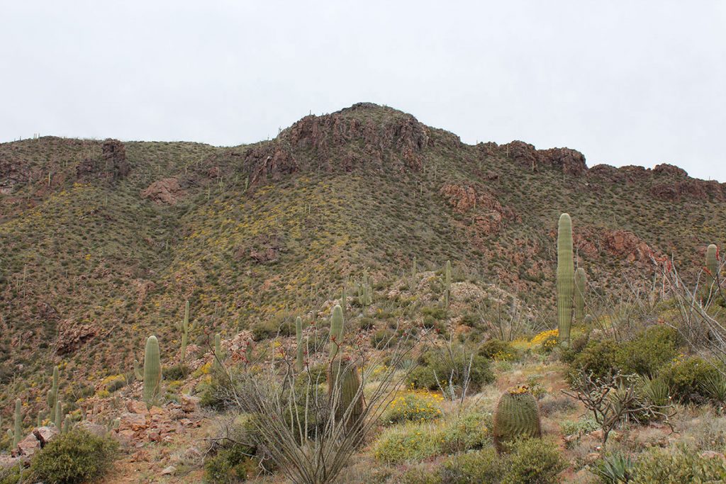
From the mine I climbed up to the southeast ridge, following old trails where I could to avoid brush. Once on the ridge I could view the upper slopes of my goal ahead.
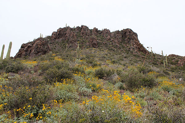
The southeast ridge leads directly up to cliffs. From Matthias’s previous trip report I knew he had climbed directly through the cliffs, rather than traversing around them on possibly loose slopes. So I headed directly up to the cliffs to see what they offered.
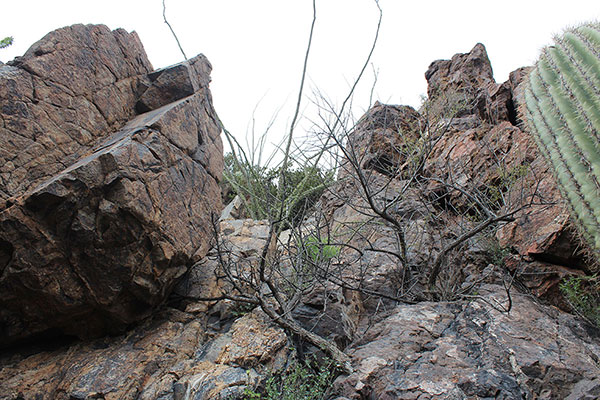
Higher, I put away my hiking poles and found a route through the cliffs on firm rock with nice foot and hand holds. Once above the cliffs I thought I might be more cautious on the descent and traverse around the cliffs.
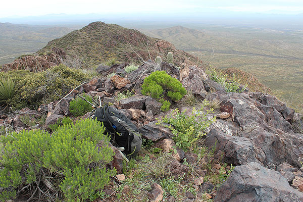
The summit rose close by above the cliffs and I was soon there. I found the benchmark and eventually found the summit register placed by Matthias 17 months earlier.
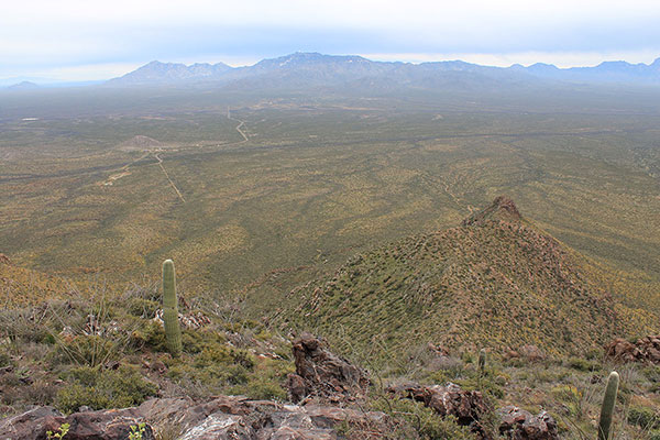
I looked down my ascent route to identify my parking spot and to view my desert hike and the southeast ridge from above. In the above photo the southeast ridge lies below to the right. The access road and my Jeep lie below to the left. Coyote Mountain and Kitt Peak lie beyond.
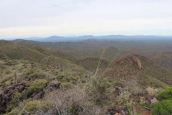
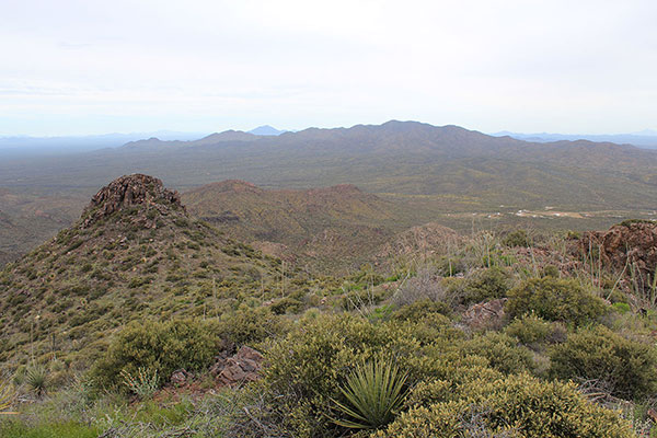
The wind was calm and the visibility was good enough for me to identify many peaks I have visited, including Coyote Mountain, Kitt Peak, Baboquivari Peak, South Mountain, Mesquite Benchmark, Mount Ajo, Gu Achi Peak, and Mount Devine.
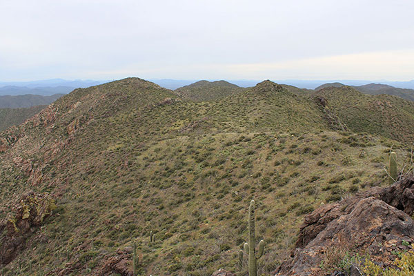
Peak 4545 rises to the southwest of the summit and seems to rival Como Benchmark in elevation. The USGS topographic map indicates Peak 4545 is 2 feet lower than Como Benchmark. If this changes on a subsequent USGS map I may need to return to these mountains.
I left the summit and descended around the cliffs to the west. The footing was sometimes loose but the route worked well and I soon rejoined my ascent route below the cliffs. I descended the ridge, passed the mine, and hiked across the desert to my Jeep. It was a successful and pleasant day in the Sonoran Desert and mountains.
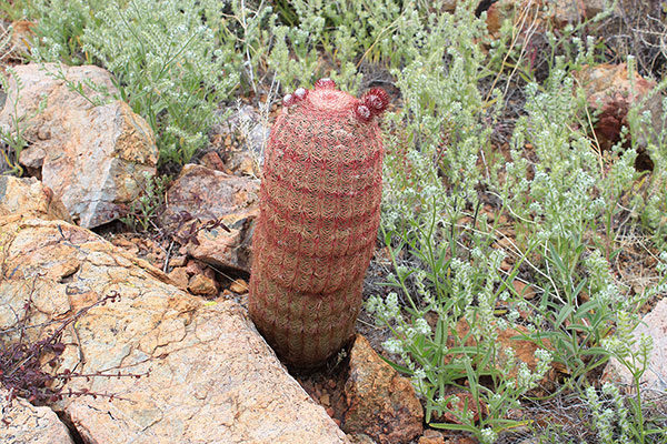
In some of the photos I have identified plants with the help of iNaturalist.org. It is a helpful resource for identifying plant and animal species. I have started uploading observations and several people have been generous in helping me identify what I have seen.

Leave a Reply