On Friday, January 22, I drove east through Lake Havasu City on residential roads to find access to Crossman Peak. Crossman Peak, the highpoint of the Mohave Mountains, is the 24th most prominent peak in Arizona with 3120 feet of topographic prominence. It also has 21.7 miles of isolation. Such a peak should provide great views, but I could see very little from the summit this day. Crossman Peak was clouded in and the weather forecast called for afternoon thunderstorms.
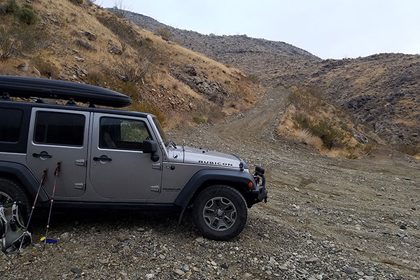
The paved residential roads suddenly ended and the road became coarse gravel and rock. It led through a popular 4-wheeling area and then up the Falls Springs Wash towards Crossman Peak. I was glad for my Jeep’s high clearance and sturdy tires and was able to drive to a broad parking area at a steep turn. Beyond here the road reportedly climbed steeply around a ridge to a locked gate. It was the ideal spot to park.
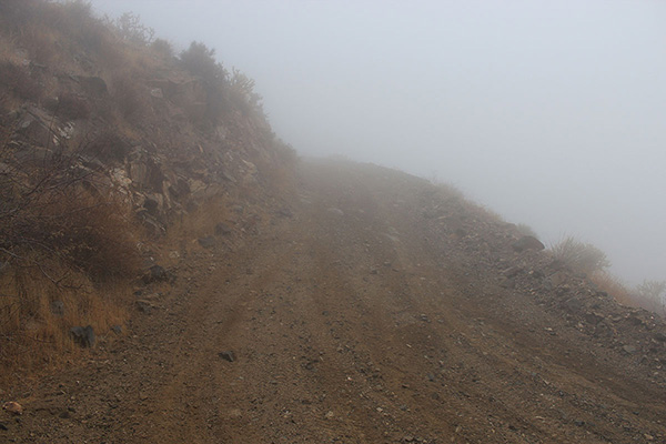
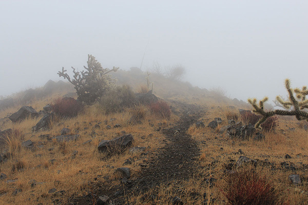
My plan was to follow the steep road to towers on a high ridge, then follow the ridge on a trail to the summit. After passing around the locked gate I was soon in the clouds with poor visibility. The road was steep but it was easy to follow in the fog. As I approached the ridgeline I could hear the generators before I could see the towers.
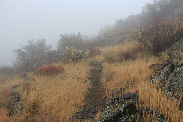
At the ridgeline towers the visibility improved a little, but the wind was stronger and the air was misty. I found the well-used trail and followed it towards the summit on the lee side of the ridge. As I followed the trail I watched my progress towards the summit on my GPS display.
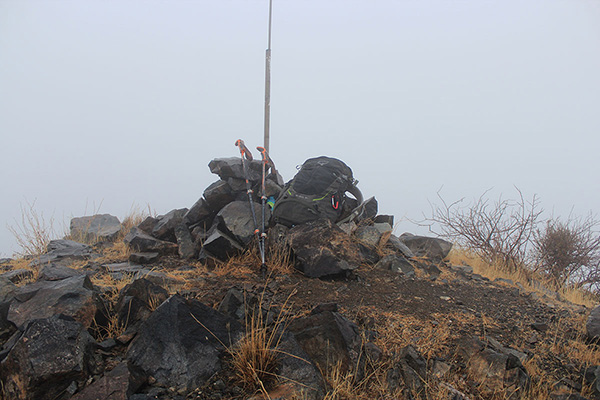
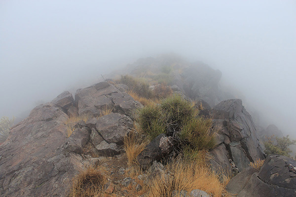
The trail was easy to follow and I eventually reached the well-marked summit. I entered my name in the summit registry and took a few photos of the surrounding mist. The view was about the same in all directions.
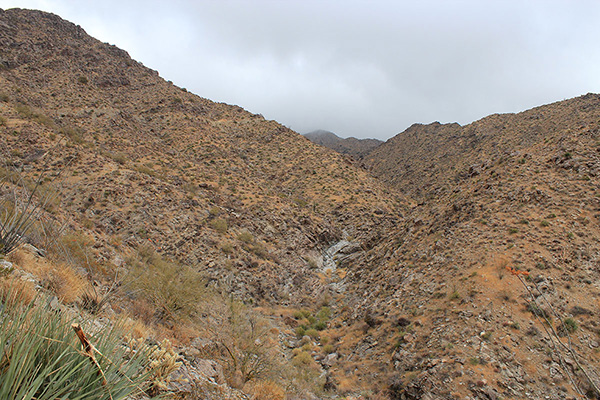
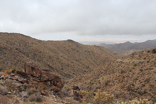
I soon started my descent down the same route towards my Jeep. As I descended towards the gate the clouds lifted enough for me to get views of slopes around me. Eventually Lake Havasu and Lake Havasu City to the west came into view.
The only other person on my route was a local mountain runner. He was training for an upcoming race by running laps up the road to the towers and back. As I descended from the towers he passed on his third and final lap. This gave him about 4500 feet of steep ascent and descent.
I drove out to Lake Havasu and then back to Tucson. This was my last climb on a successful trip to Northwest Arizona, following climbs of Mohon Peak and Peacock Peak the previous two days. There are several more peaks in Northern Arizona for me to visit in the future.

Leave a Reply