On Saturday, April 4, I left Tucson for a few days to visit three Arizona prominence peaks. After climbing Buckskin Benchmark on Sunday I drove Sunday afternoon north towards the town of Congress. My goal for Monday was to climb the highpoint of the Date Creek Mountains. This highpoint has 1560 feet of topographic prominence and 4920 feet of elevation. Richard Hensley, one of my Arizona peakbagger friends, climbed this peak in November 2018 and provided good road access and route information.
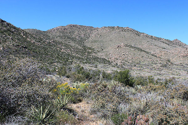
Richard’s report included some emphatic cautions about his experience driving his Jeep on the access road all the way to his climbing route and suggested others consider a parking spot before the worse of it. I was ready to watch for road trouble as I drove in Sunday afternoon to find my evening campsite and tomorrow’s starting point.
Just south of Congress a dirt road left pavement and passed through an unlocked gate onto Arizona State Trust Land. Arizona State Trust Land requires an annual permit for recreational use, which is inexpensive and easy to obtain online. Each November when we return to Arizona I purchase the permit which provides me access to lots of remote public land.
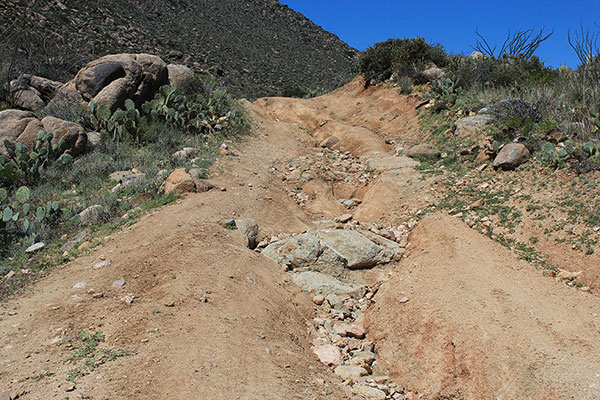
The road immediately required some good clearance, but I had no concerns as I drove towards my decision point. I eventually came to a T junction, with the proposed parking spot a few feet on my left and the road continuing to my right. A quick glance down the road convinced me to turn left and make my campsite for the night. I had no intention of driving further on the road the next morning. No one drove by on the road that evening and I enjoyed a quiet and private campsite with a view of Congress to the east.
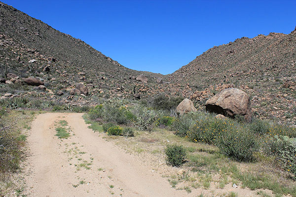
Monday morning I hiked up the road into the southeast canyon. I crossed over several steep spots where water had dug some deep ruts into the road and exposed bedrock. I was glad not to have tried driving over these. Boulders decorated the slopes on both sides of the canyon and I wondered how rocky my climbing route was going to be.
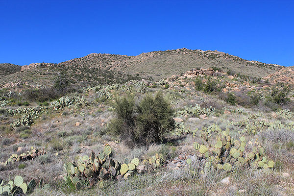
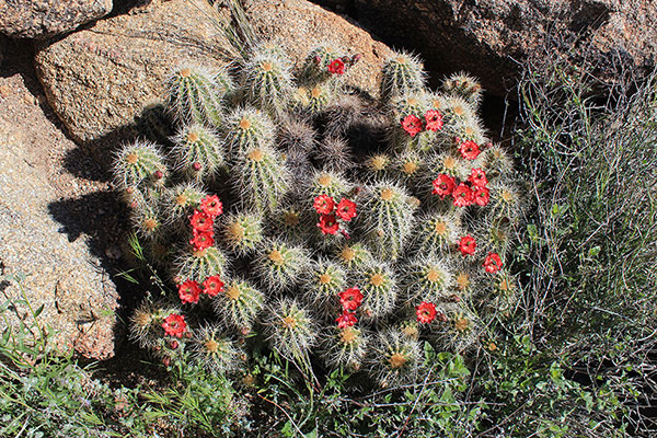
After passing over a pass I dropped down the other side and saw my climbing route for the first time. Further on, I left the road and begin my climb up the east slope towards the summit ridge above.
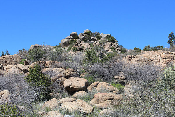
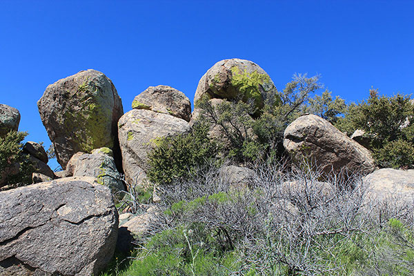
The east slope was mostly open with few boulders or brush and I made good progress. I worked around some large boulders through brush near the top of the slope and once at the top I finally saw the pile of large boulders that were the highest point of the mountain range.
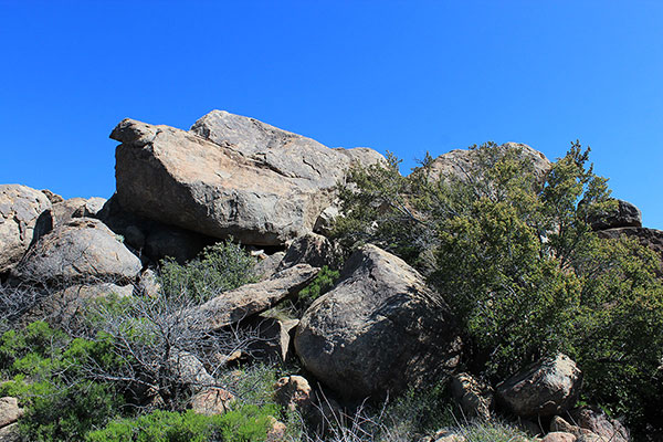
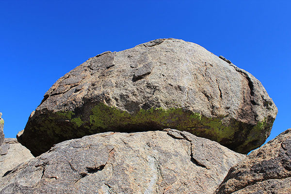
Approaching from the east these boulders seemed imposing, but the west side provided much easier access up a ramp to the base of the summit boulder. This large boulder overhanged its base, but on the west side a gap between it and a lower boulder and some thin footholds and decent handholds allowed me to safely reach the top.
I sat on the top of the summit boulder and found the summit registry beneath a rock slab beside me. I signed in and recognized several names there, including Richard’s.
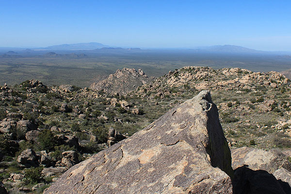
It was windy but not cold and I enjoyed the views. I recognized several peaks I had visited before, including Harquahala Mountain, Smith Peak, and Buckskin Benchmark to the southwest.
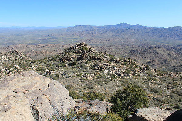
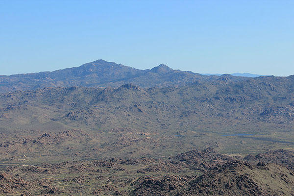
The Weaver Mountains were to the northeast, including brushy Weaver Peak. I felt fortunate to have climbed Weaver Peak with Richard Hensley, Keith Christensen, Greg Gerlach, and Laura Newman in November 2018.
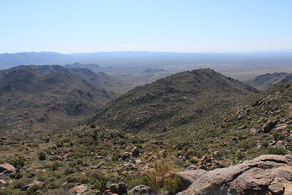
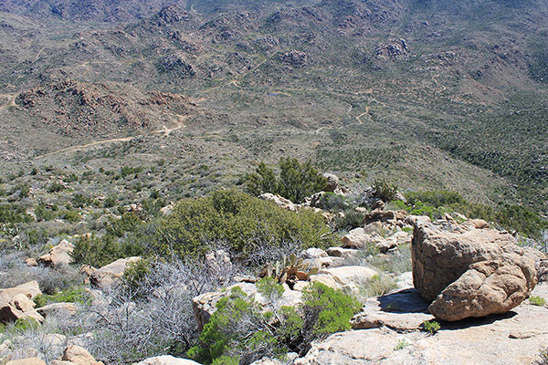
I took many photos, and making some guesses about which peaks I hoped to visit in the future. Eventually it was time to leave. I very carefully descended the summit blocks, then descended to the road and hiked out to my Jeep. I had seen no other person since leaving my campsite. It seemed I had the Date Creek Mountains to myself. It was a fun and successful visit to a new mountain range for me.

Leave a Reply