On March 4th Eric Kassan, Michael Berry, Matthias Stender, and I climbed Dos Cabezas South Peak, the high point of the Dos Cabezas Mountains. Dos Cabezas South Peak is higher than the adjacent North Peak with 8359 feet of elevation. The South Peak is also the 19th most prominent peak in Arizona with 3249 feet of prominence.

Dos Cabezas Peaks are quite visible from Arizona Highway 186 southeast of Willcox. The South Peak is the rightmost of the two rock towers in this view and is the higher of the two.
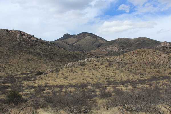
Dos Cabezas Peaks lie on BLM-administered land, but the access is blocked in many directions by private land guarded by locked gates. We hoped to hike the Mascot Mine Road towards the peaks starting from a locked gate near the town of Dos Cabezas.
Eric repeatedly called the owner of the property crossed by the Mascot Mine Road and left messages requesting access. Eric eventually obtained permission to cross the private land, which meant we could do so without fear of prosecution.
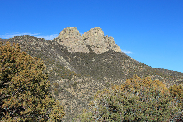
We started our climb by climbing over the locked gate across the Mascot Mine Road and hiking towards the peaks. This road was in excellent condition. As we approached a saddle on the road the Dos Cabezas South and North Peaks appeared in profile, with the South Peak on the left.
After passing the saddle we followed the road to its end. From there we climbed steeply up slope to reach the upper saddle at about 7880 feet decorated with a high antenna. We then followed the sometimes brushy ridge north towards the South Peak.
Climbing Dos Cabezas South Peak
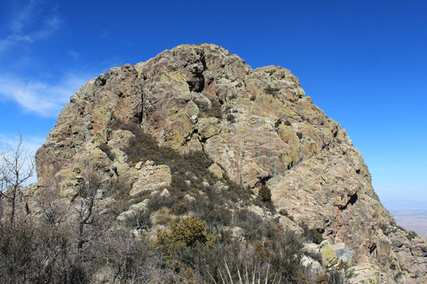
The Dos Cabezas South Peak faced us from the ridge traverse. A vertical crack splits the left-most third of the face with brush at its base. Further down to the right against the face is a large, lichen-covered rock. Behind this rock lies a ramp leading to a brushy ledge to the right and leading diagonally across the face to a last visible bush on the right. Here a hidden gully leads diagonally up to the left to the summit. We first tried the obvious ledge on the lower right of the peak but it ended in very exposed and difficult rock.
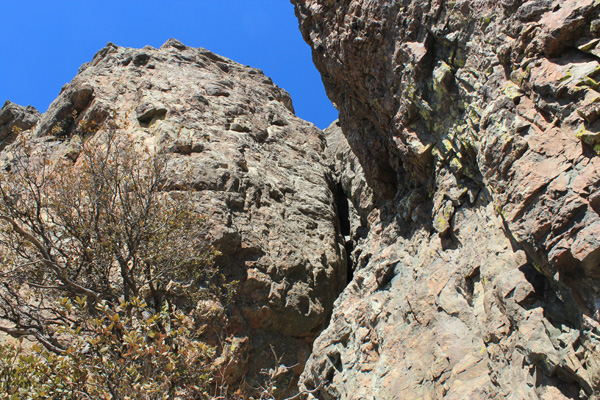
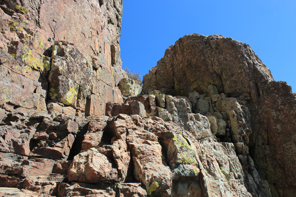
We fought through thick brush to reach the base of the South Peak. After our failed attempt on and retreat from a lower ledge system we pushed through the brush upward to the left along the base of the cliff towards the vertical crack. From near the base of the vertical crack we found the ramp we were looking for. This ramp led up to our right behind a large rock to a corner beyond which we expected a ledge leading higher. Starting with the ramp the rock was excellent and fun to climb on.
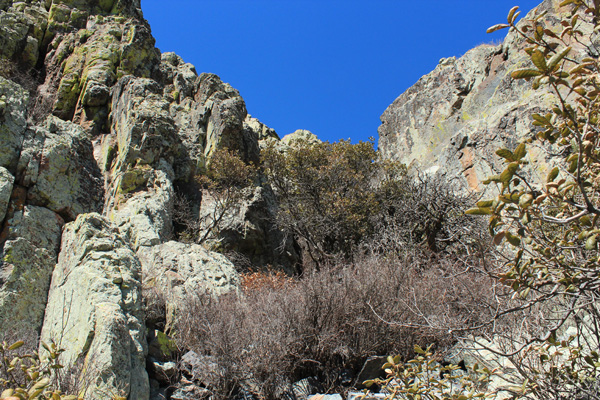
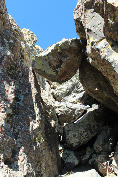
As expected, the ramp led to a brushy ledge system which we followed towards a blind corner. Around the corner to our left we found a gully leading up through brush towards the summit. On the way up the gully led to a chockstone which we climbed under and over. I noted the few points of contact supporting the rock as I passed under it.
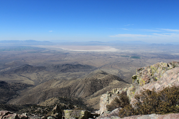
Beyond the chockstone we scrambled up open rock slopes to the broad summit. We relaxed on top, had our lunch, and enjoyed the views of many mountain ranges around us. It had been windy for several days earlier and the sky was still dusty. Yet looking west from left to right in the far distance the Dragoon, Little Dragoon and Rincon Mountains were visible. Willcox Playa, a popular birding area, appeared below.
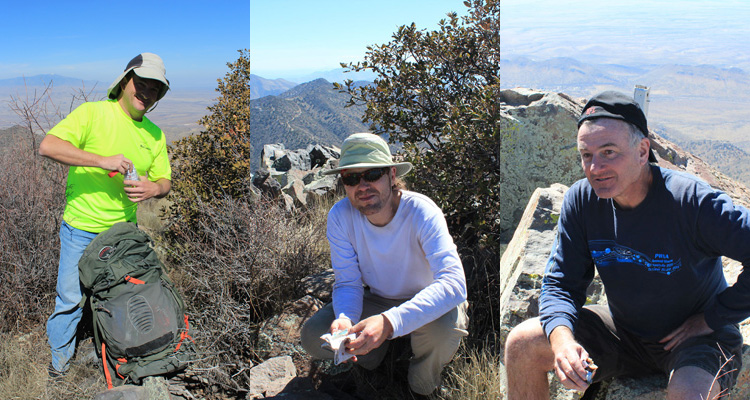
Michael found the registry, but it was damaged and the papers were mashed together inside. Eric replaced the damaged registry container with a new one and added a fresh notepad to the mass of loose papers. Eric comes prepared.
A Fun Descent

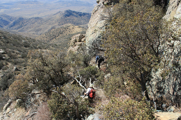
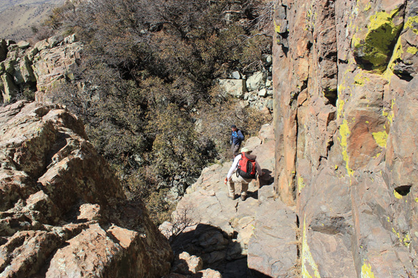
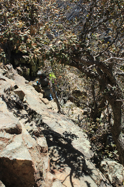
After enjoying the views and recording our ascent in the new registry we began our descent. The chockstone was fun to descend under and the traverse and ramp went easily. We then fought our way through brush back to the ridge and savored a last view of the south face of the South Peak. We reached the upper saddle and descended to the road along a fence on the south ridge along an informal path.
Once back to the road Eric decided to descend more directly south down a slope to intersect an abandoned road that led to the Mascot Mine Road lower. This saved us about 1.5 miles of road hiking and went well. We followed the Mascot Mine Road out past the locked gate to our cars.
I enjoyed sharing the climb with these three experienced climbers and hope to share many more to come. At the end of the day I felt we had all “re-certified” ourselves as Arizona Mountaineers.

This is a great write up! Thanks for taking the time to post it. Ive been wanting to hike it for sometime now. I was wondering how Eric got the owners number to be able to get permission because id like to hike it too, but I see the Klumps had closed it off? Is there a way to get the number so,I may give them a call? Thanks kindly
Thank you, Preston. Please email me and I will forward the information I gave to Eric to you.
Hi Paul, I would like to complete this hike but concerned about the road. You have the most recent post I can locate on the hike. Do you think 4×4 is required on the road in past the gates?
4×4 high clearance would not be required beyond the gates. However, the gates are locked and although you can get permission from the first landowner to hike his road, I understand the second landowner is “impossible to work with”. Email me if you need the contact information for the first landowner. The most recent source of information for climbing Dos Cabezas Peaks is often posted here: http://www.peakbagger.com/peak.aspx?pid=4222
Paul,
My name is Ray Speakman and I am making a video from the song, “I Love You Arizona”. I would like to use the image titled “Dos Cabezas South and North Peaks from high on the access road” in that video. I am running for the Az House of Representatives and will be posting the video on Facebook, Youtube, my website (rspeakman.com) and other social places. I will not be selling it or making money from it, but would like your permission to use it. It is a great image and I love your description of the hike. I have live all of my life in Arizona and have been on many many hikes, but the Dos Cabezas I have not hiked, but you have wet my whistle. Thank you.
Yes, Raymond, you may use that image for your video. Thank you for asking.
I always knew we had more of a connection living here in Az. My Ancestors are buried at Dos Cabezas Cemetery. They were residents in the Town. Oh my would’nt it be a miracle we are living eras to their estates? Would be great to research.
Cool stuff. Thanks for posting all this information.
My wife and I would like to hike this peak. Would you kindly please pass along any information needed to hike this peak. And is the mine rd through private property the only trail to access the summit?
Thank you so much
Chris
Hi Chris,
This page provides links to trip reports, including mine, that describe climbs of Dos Cabezas:
http://www.peakbagger.com/peak.aspx?pid=4222
I really don’t have any more information than this. Good luck, it is a fun scramble and scenic summit.
Paul