On Friday, July 3, Michael Berry and I hiked to the summit of Edson Butte in the Southern Oregon Coast Range. Edson Butte has only 2786 feet of elevation, but has 1866 feet of topographic prominence, making it the 91st most prominent peak in Oregon.
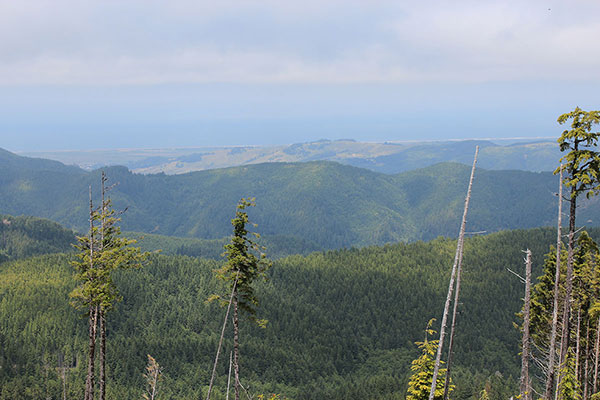
The route was a long hike on forest roads, some well maintained and others apparently not used or maintained in many years. There was some road work in progress higher and we encountered trucks hauling gravel from a quarry near the summit and returning for more. The weather was cloudy and misty in the morning but this cleared in the early afternoon and we got ample views of clearcuts as we hiked out from the summit.
Michael met me at the Edson Creek Campground the evening before and we spent the night there, a very popular campground for families over the 4th of July weekend. Nevertheless, I got a good night’s sleep and we got an early start the next morning.
We drove about a mile to a locked gate on an infrequently used road and parked. From there we hiked up to where the road became better traveled. We chatted as we hiked, and after a few miles missed the start of the abandoned road leading upwards we needed to follow. We discovered our error (when we paid attention to a previous hiker’s very helpful GPS track), returned to find the “road”, and followed it upwards through brush and high grass stepping over some eroded spots.
The road led higher to another abandoned/decommissioned road with trees spread across it to discourage travel. We stepped around the trees, found the road was much better beyond that, happily continued on, and subsequently missed another junction we needed to take.
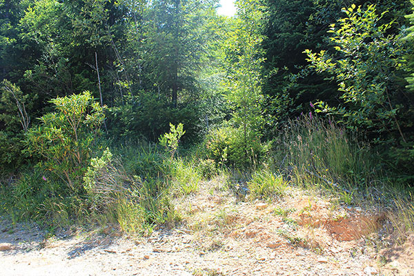
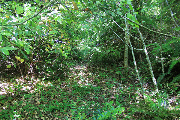
We returned, decided that yes, many years ago a road existed at that spot, and bushwhacked through brush and under low trees. I realized that in spite of all that, the travel was easier than what it would have been without the old road.
The bushwhacking soon ended and we entered a recently cleared landing. We followed the now greatly improved road higher, found fresh crushed rock on the road bed, and encountered a worker. He warned us of the roadwork and truck traffic and we assured him we would be alert.
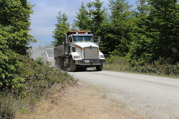
Soon enough the first of many dump truck/trailers passed us hauling gravel. We carefully stepped well off the road whenever we heard the trucks coming and the drivers seemed to appreciate that. One even stopped and warned us of a mother bear with cubs higher, though we never got to see them.
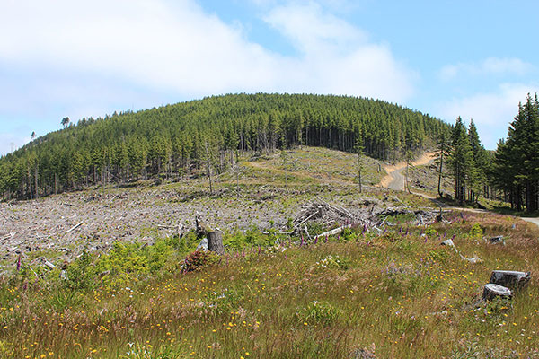
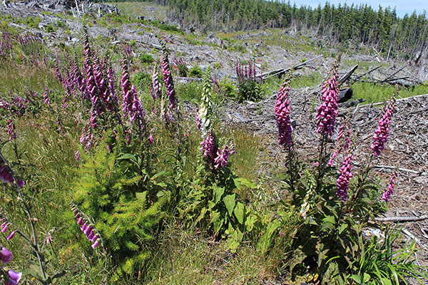
The weather was cloudy in the morning and we experienced a little mist, but no rain. As we climbed along a high ridge between clearcuts we tried to identify the summit ahead. After a few false summits we identified the true forested summit partially obscured by clouds.
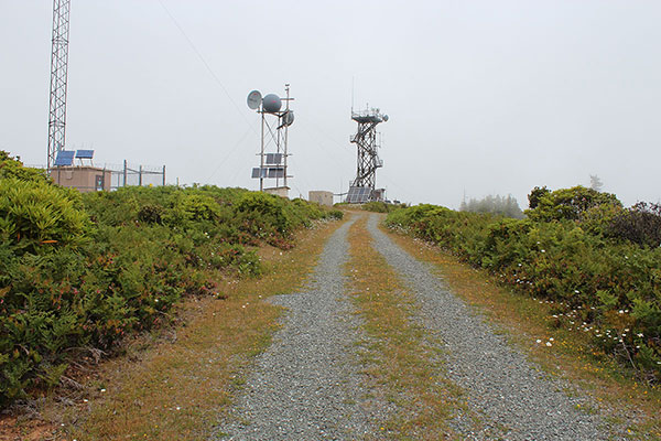
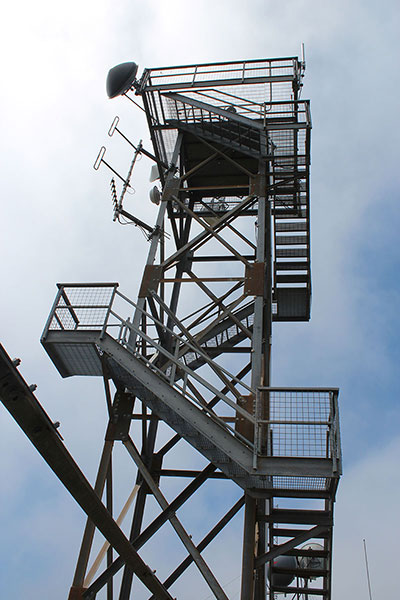
After miles of road hiking we eventually reached the summit of Edson Butte below an unmanned lookout tower.
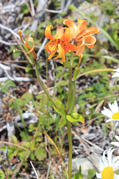
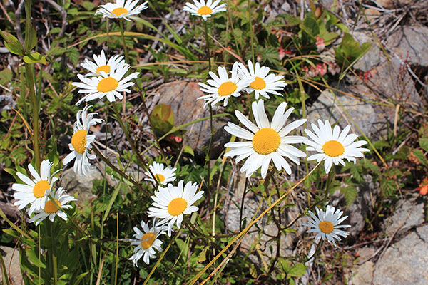
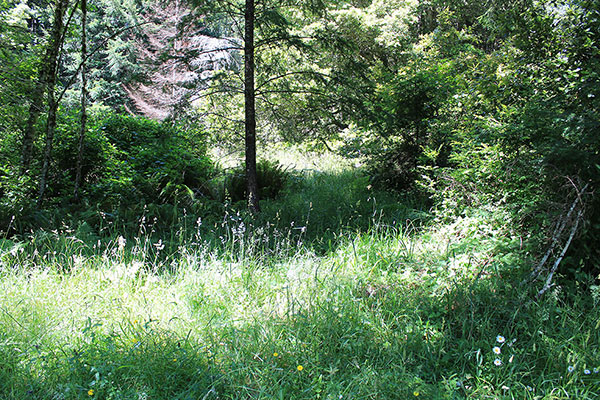
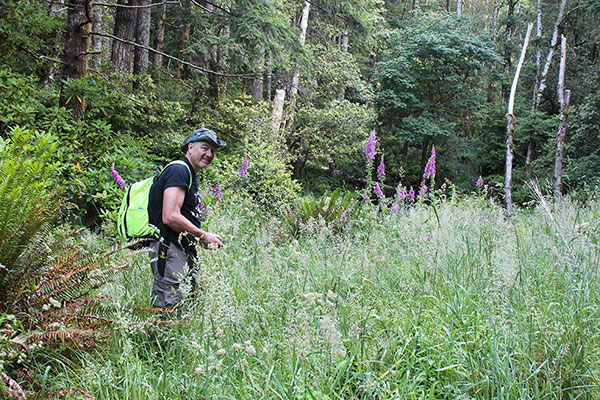
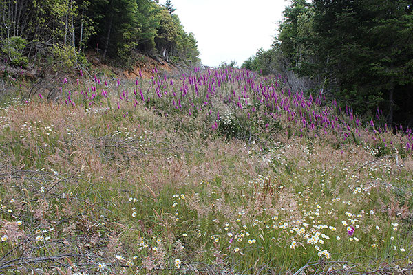
We rested and had lunch, occasionally caught views of the ocean between clouds passing through, and climbed part way up the tall tower in hopes of better views. There were many wildflowers near the summit. Eventually we started back.
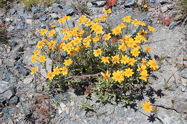
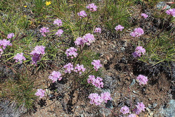
On our descent the weather improved and I stopped several times for photos. Once I return home I attempt to identify unfamiliar flowers I photograph using the iNaturalist.org website. Often helpful members correct me and I update the captions on my blog entries.
Michael had a long drive ahead of him that evening so after we passed the last of the many higher road junctions and the last three miles seemed obvious Michael hurried on to our trailhead to start home. I eventually arrived back at my Jeep. It had been a long day for us, 17.2 miles and 3500 feet of gain. I returned to the busy campground for one more night before returning home.
For several reasons the Oregon Coast Range is my least favorite mountain range in Oregon. But when you accept the goal of pursuing peak lists one has to follow where your chosen lists lead. I have one Oregon Coast Range peak left with at least 1800 feet of prominence. I have two more scenic prominent peaks in Northeast Oregon. Finally, I have prominent Silver Peak in the Siskiyou Range, a long hike that I’ve been advised not to do solo. I’ll postpone that one to next June. I think Michael might join me on that one as well.

Leave a Reply