On Tuesday, October 8, I returned to Western Union Basin deep in the Elkhorn Mountains of Oregon. My goal was to climb “Summit Point” a peak rising to the west of Chloride Ridge along the Elkhorn Crest. Three days earlier I had driven in to this remote location and climbed Chloride Ridge West Peak. Summit Point appeared to be quite accessible using the same approach.
This would be the last of four high priority Elkhorn peaks I wanted to summit this season. In early August I had tried to visit Summit Point from the North Powder River. But road debris blocked my drive in several miles short of my intended parking spot. I hiked from there, anyway, but ran out of time far from the peak. I was much more hopeful today.

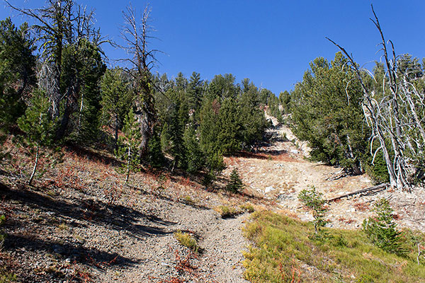
Leaving my Jeep in Western Union Basin parked beside the forest road, I hiked again to Mayflower Meadow. This time I continued further west along a primitive road which became steeper and rockier, more of an ATV track than a road. I passed a boarded up cabin, perhaps someone’s hunting lodge. Further, the track became a trail through forest, then faded away on the lower east slope of Summit Point.
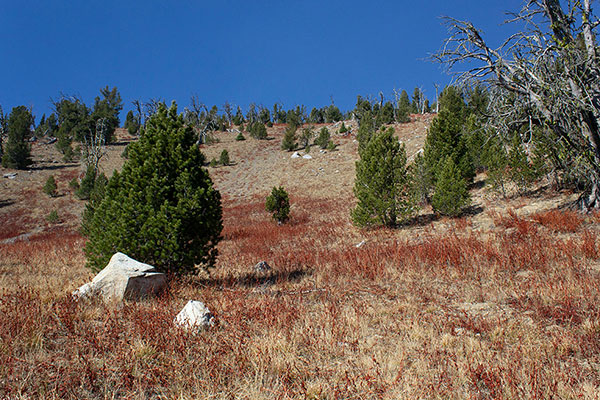
I climbed directly up the steep and open slope on good footing, occasionally finding and following game trails. I paused a few times to catch my breath. Before long, I arrived at the likely summit of Summit Point.
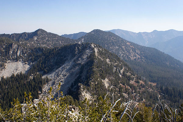
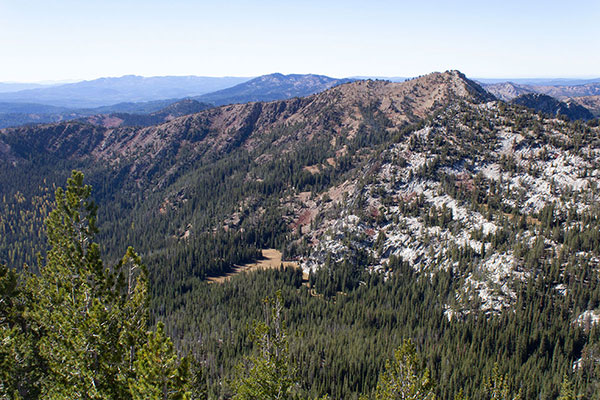
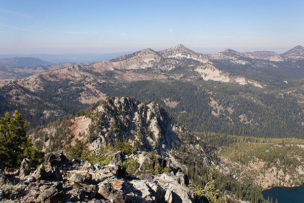
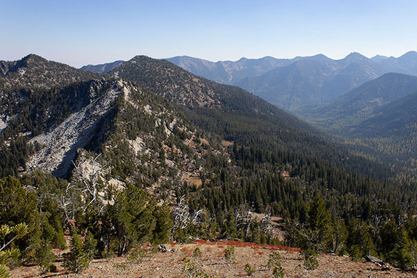
Three days earlier the sky had been clear but this day wildfire smoke had returned. Still, the Elkhorn Peaks were visible and I enjoyed, once again, identifying the many peaks I have visited over several years past.

To the north I found the route I had attempted in August. I noted how far away I was when I turned around. Today’s route via Western Union Basin had easier driving and was pleasant, scenic, and much more direct.

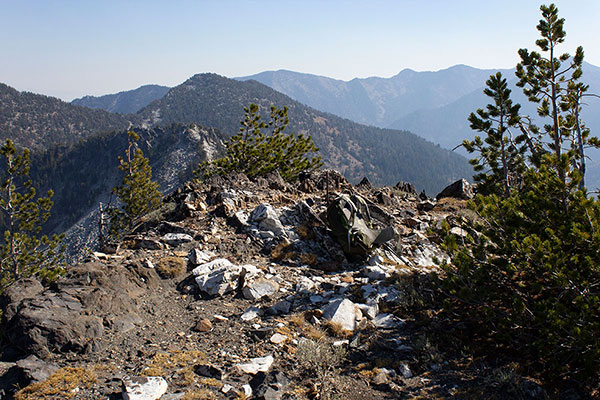
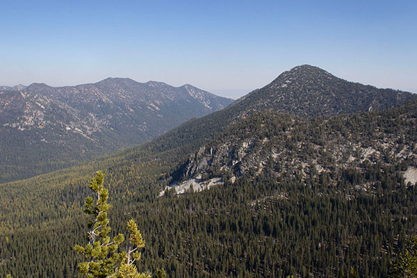
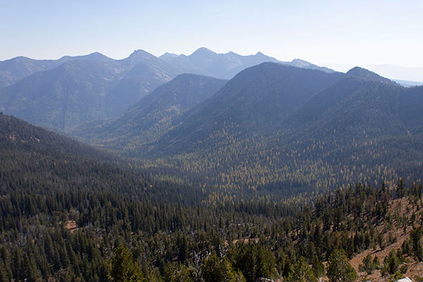
After a short lunch I moved over to a nearby alternative summit point and paused there for better views to the west. Neither summit point had a registry and I had none to leave.
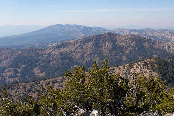
I descended down the south ridge a short way to verify that a wooded point was not higher. It was not. From there I continued down the east slope to the trail below.

I returned to my Jeep the same way I had come, having seen no one else all day. I was in good spirits, having salvaged an otherwise unremarkable climbing season with four remote and infrequently visited peaks in the Elkhorn Mountains.

Leave a Reply