On Friday morning, November 12, I met Matthias and Scott in Fort Thomas, west of Safford, Arizona on US Highway 70. Our goal that day was to climb Gila Peak, a prominent peak in the Gila Mountains of Graham County.
We had many miles to drive in on dirt, dusty, and eventually rocky roads. Scott left his Subaru in Fort Thomas and rode with Matthias in his 4Runner. I drove my Jeep with new tires and suspension.
Our drive in started on paved road but the road soon became dirt and was there signed “closed” but not barricaded. Soon thereafter we discovered the bridge across the Gila River was signed “closed”. It also was not barricaded, the concrete seemed sturdy, and recent tire tracks suggested the bridge would hold as we drove across. It did.
After 1.5 hours of driving on mostly good road with the last 1.7 miles requiring high clearance and 4WD we arrived at our starting point for our climb.
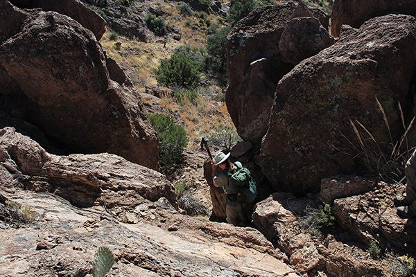
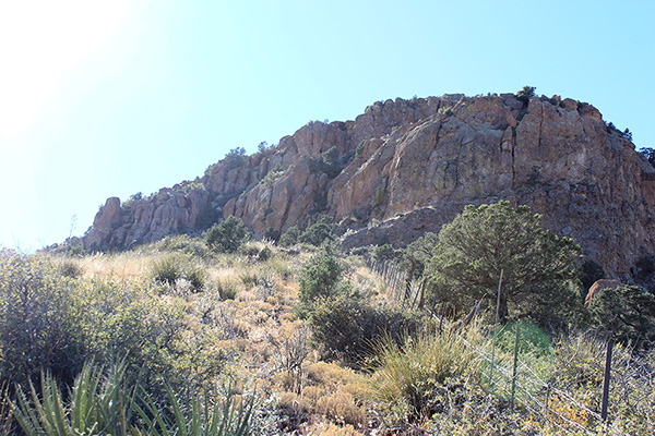
We descended to a dry creek bed, then began ascending the northwest ridge of Gila Peak. Some rock cliffs rose on the ridgeline. We decided that they were directly climbable and they proved so, though they did slow our progress a bit.
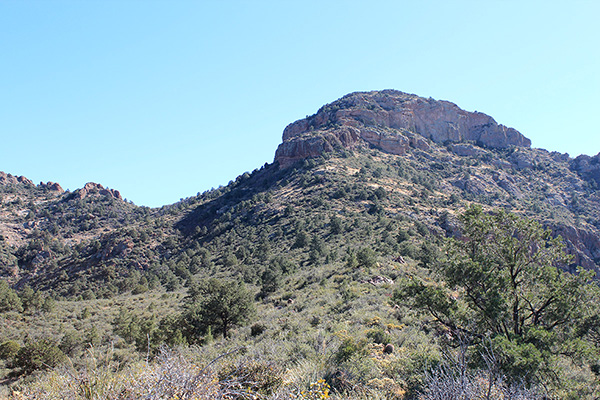
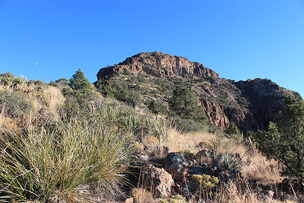
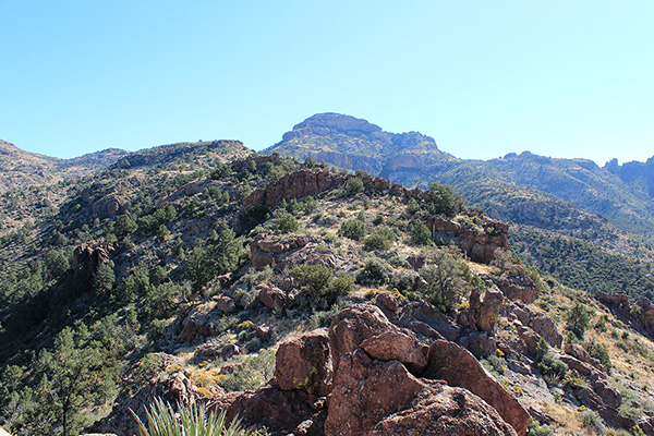
Gaining the upper ridge we got our first good view of Gila Peak’s summit cliffs. We moved through sometimes thick brush well watered from the summer’s monsoon, traversed below the summit cliffs to the left to gain a saddle, then climbed around to the northeast side of the peak.
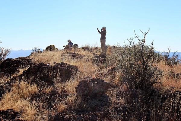
Matthias took a direct line up from there while Scott and I tried to work around further south hoping for easier passage. Eventually Scott and I arrived at the summit to find Matthias had arrived ahead of us.
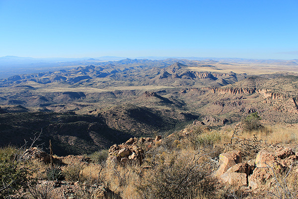
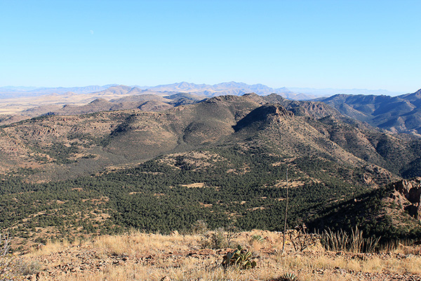
We enjoyed the summit views and identified many peaks we had visited over the past several years. The afternoon sunlight sometimes reflected off our distant cars. We added our names to the summit registry. Eventually it was time to descend.
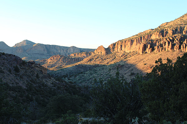
Our descent went efficiently and we decided to bypass the rock cliffs on the ridgeline. We reached the dry creek bed as late afternoon shadows grew in the canyons and the cliffs took on a golden light. After one more short climb we returned to our cars and soon began the long drive out to Fort Thomas.
It was dark when we returned to Fort Thomas. Scott retrieved his car, then we stopped at a convenience store for supplies and drove on to Klondyke Road. Matthias led our caravan in on Klondyke Road in the dark and found a nice spot for us to pull off and camp for the night. We enjoyed dinner under the clear night sky. We hoped to climb Stanley Butte the next day.

Leave a Reply