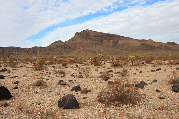
On Tuesday, December 22, I joined Matthias Stender on a climb of Growler Peak, within the Cabeza Prieta National Wildlife Refuge. Growler Peak has 1541 feet of topographic prominence and 12.1 miles of isolation. It lies west of the city of Ajo near the northern end of the Growler Mountains and overlooks the Growler Valley and the Granite Mountains to the west.
Matthias and I met in the town of Ajo and convoyed west on the Charlie Bell Road into the Cabeza Prieta NWR. We stopped short of Charlie Bell Pass where the road became rockier, narrower, and would be slower driving. This was close enough to Growler Peak for us to hike the rest of the way.
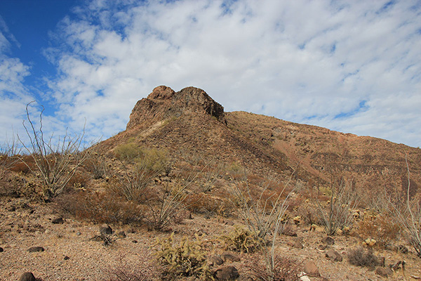
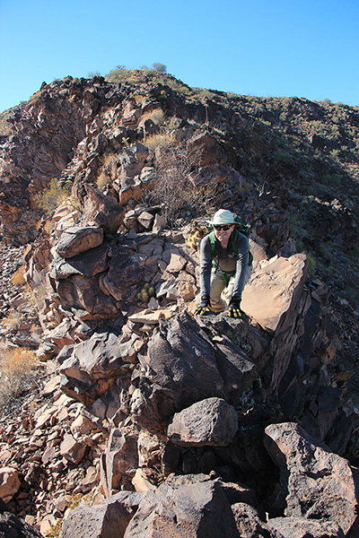
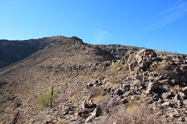
We left our cars and hiked northwest towards Growler Peak. As we approached the peak we decided to take the southeast ridge up towards the summit. Climbing the ridge we traversed below cliffs on our left. I was eager to gain the ridge above us. A short steep wall of rock plates provided us a fun scramble route to the top of the ridge.
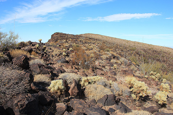
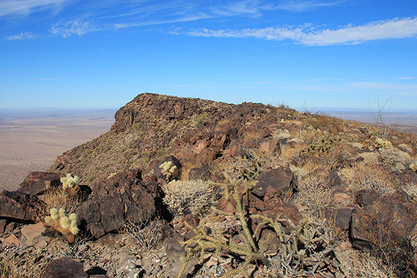
Once on the top of the southeast ridge we followed the rocky ridge up open slopes to the summit. The cactus plants were easy to bypass.
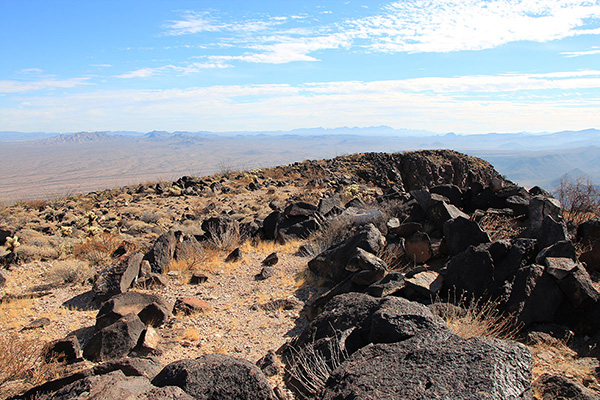
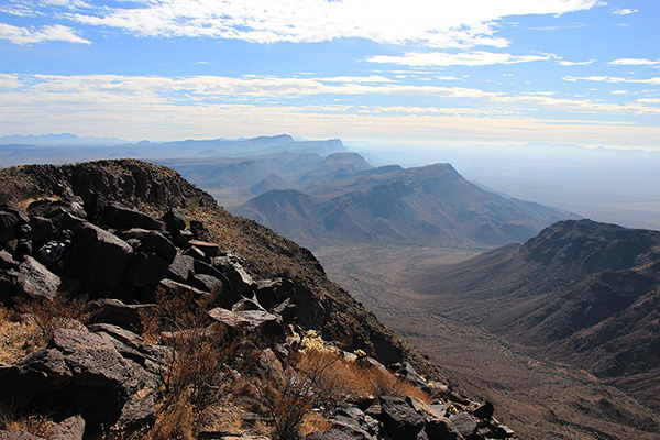
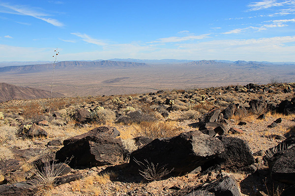
The morning had started cloudy, but gradually the sky cleared and provided nice views. I especially enjoyed the views south along the spine of the Growler Mountains and to the west across the Growler Valley towards mountain ranges in the Barry M. Goldwater Air Force Range.
As we relaxed on the summit Matthias shared the story described in “The Devils Highway” (by Luis Alberto Urrea) of immigrants crossing from Mexico who had gotten lost in the Growler Valley. They repeatedly tried to find access east through the Growler Mountains to reach Ajo. Eventually they wandered to west. Most of the party died. I have since read this book and I recommend it.
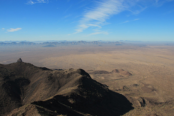
Matthias also shared the story of an experienced peakbagger who had tried to hike from Charlie Bell Pass across the Growler Desert to Granite Benchmark, the highpoint of the Granite Mountains, and back. Inexplicably, this peakbagger had tried this in August and died in the attempt. It is remarkable that Matthias and Michael Vincent in January 2021 did climb Granite Benchmark this way, a 31 mile day trip. I could not have done this.
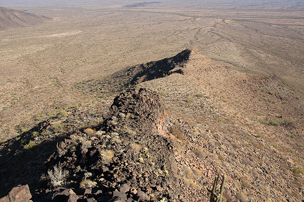
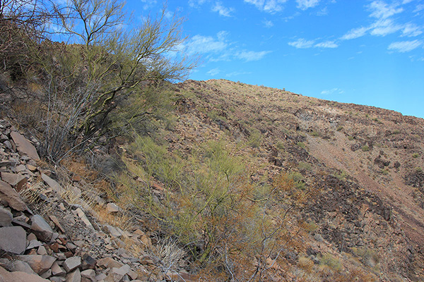
We started our descent and chose to descend the east ridge rather than the southeast ridge we had climbed. This route seemed more direct and open but it did lead us to descend across an exposed, narrow ridge. Lower we were stopped by a difficult step that we backtracked a bit to descend around.
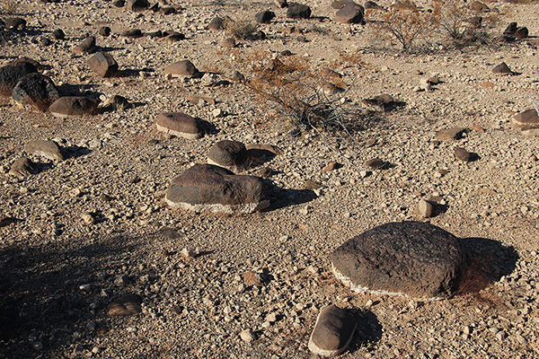
The east ridge led us back to the desert floor and we walked back to our cars across open country. The desert varnish coating the desert floor seemed particularly intense.
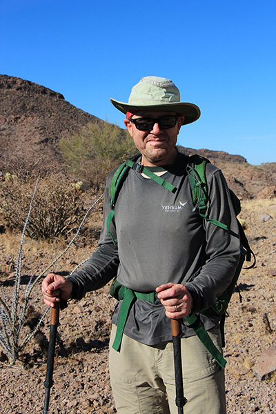
This was my first climb with Matthias since last February when I had joined him and three others in the Vekol Mountains. It was fun to share another peak with him. I hope to share more peaks with him in the years ahead.

Leave a Reply