In early February Linda and I and our dogs camped in the open desert near Vicksburg, Arizona, east of Quartzsite. We were boondocking, which meant we had no hookups but did have a lot of room for ourselves and dark nights. We spent three nights there. Linda spent February 6 and 7 hiking and mountain biking from our campsite. On the morning of February 7 I left camp to climb Harcuvar Peak.
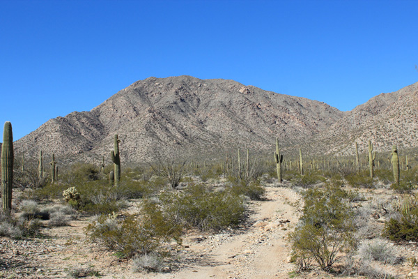
From camp I drove to Salome on US 60. Here I left US 60 and followed roads northwest to near the base of Harcuvar Peak. Harcuvar Peak lies in the Harcuvar Mountains, but is not the highpoint of the range. The highpoint of the Harcuvar Mountains is Smith Peak further north, which I hiked last November. Harcuvar Peak does, however, have 2048 feet of prominence making it the 66th most prominent peak in Arizona.
I parked above a wash that would have required I drive over large rocks had I continued. The climb was not long, so there was no reason to risk Jeep damage to save a few miles of hiking.
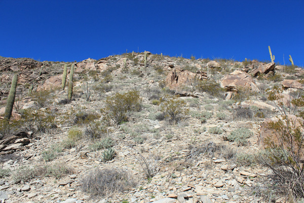
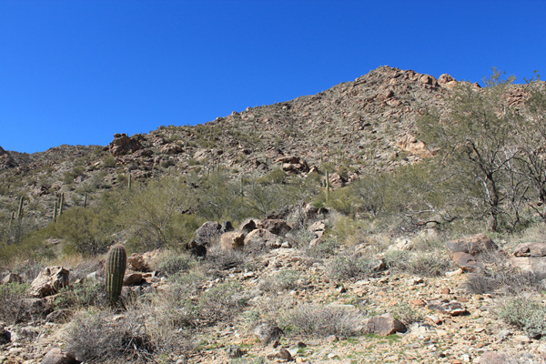
From where I parked I followed the road towards Harcuvar Peak until I was below the south face. I spotted a steep ridge leading towards the summit that others had reportedly used and I decided to try it myself. The slope was fun to climb as it was mostly free of brush and the footing was firm. I noted four ATVs slowly approaching on the road below while I climbed.
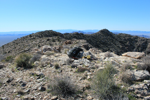
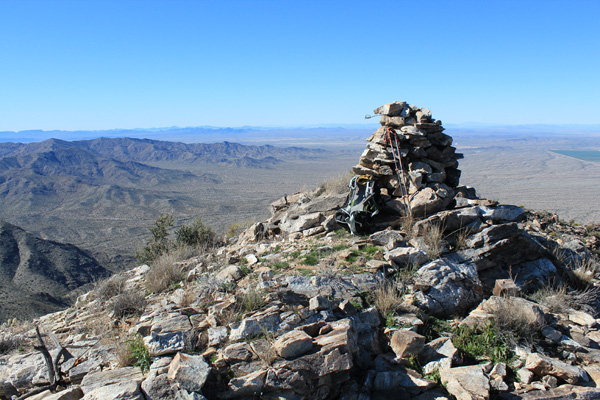
I made good progress and soon reached the summit ridge. The summit ridge had two candidate summits, one marked by a large cairn to the southwest and the other a broad area to my north. I first hiked over to the cairn and found the HARCUVAR benchmark, hence this spot is called Harcuvar Benchmark.
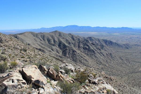
The sky was clear, the temperature was comfortable, and the air was calm. To the southeast I savored the view of Harquahala Mountain that I had hiked yesterday. To the southwest I viewed Signal Peak and Cunningham Mountain that I had climbed in November 2017. I lingered and took many photos and entered my name in the registry I found there.
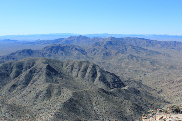
I hiked back along the summit ridge to the other summit candidate. I also found a registry there to which I added my name. There is some disagreement as to which candidate summit is actually the highest, so by visiting both I am covered whenever the subject is eventually settled.
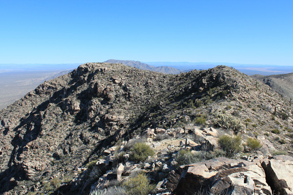
I descended my route back to the road. The footing seemed a little looser on the descent, but I decided I liked the route. I noted one ATV driving out as I descended, but I saw none of the others on the road as I hiked back to my Jeep, which was in fine shape when I arrived (always a relief). It had been a very nice day with nice weather and a fun route.
I returned to our campsite to learn that Linda had spent some of the day mountain biking nearby without mishap. The dogs were happy to have us all back and we spent our last night boondocking in the open desert.

Leave a Reply