Saturday morning, September 3, Larry Luehring and I were camped just above Crater Lake in the Wallowa Mountains of Northeast Oregon. We had packed in from the Summit Point Trailhead two days earlier. Our plan this day was to climb Krag Peak after climbing nearby Red Mountain the day before.
Early that morning after a warmer night than previous ones, I listened to the wind blowing through the trees around us from within my tent. I peeked out and saw heavy overcast with darker clouds approaching from the southwest. This was unexpected – I had checked the weather forecast from the summit of Red Mountain the previous day and it was forecast to be sunny this day.
Climbing Krag Peak
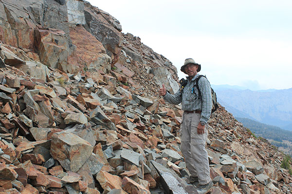
After some debate Larry and I decided to give Krag Peak a try in spite of the weather outlook. We ate breakfast and started our climb up a ridge immediately beside our campsite.
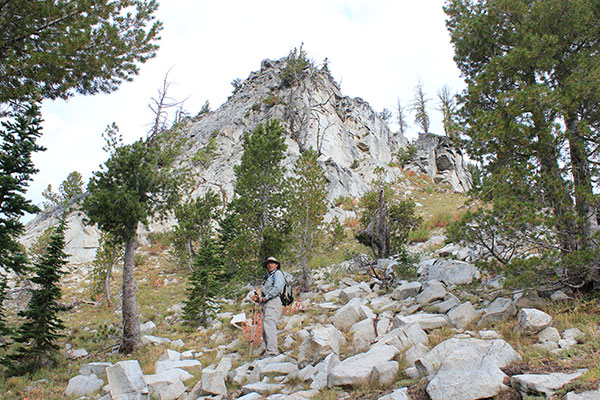
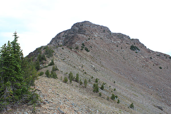
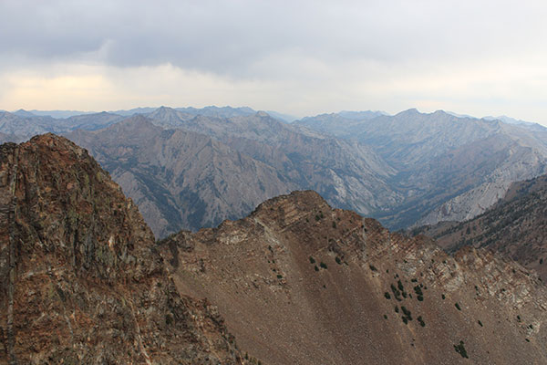
Our route followed the ridge, skirting some cliffs to the right, and up a steep slope with good footing to the base of a talus slope. We traversed the talus upward and climbed onto a ridge above. This put us in an eastern upper basin below the Southeast Ridge of Krag Mountain.
We crossed a small dry lakebed and found a ramp that led higher onto the ridge above us. We took a break and I checked the weather forecast since I had cell phone reception. The forecast called for a slight chance of thunderstorms in the morning, then clearing in the afternoon. I noted some virga in the distance, but nothing seemed threatening at this point.
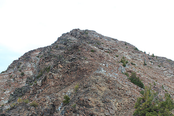
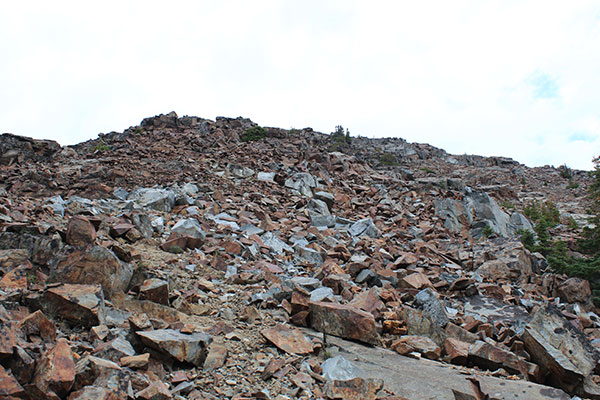
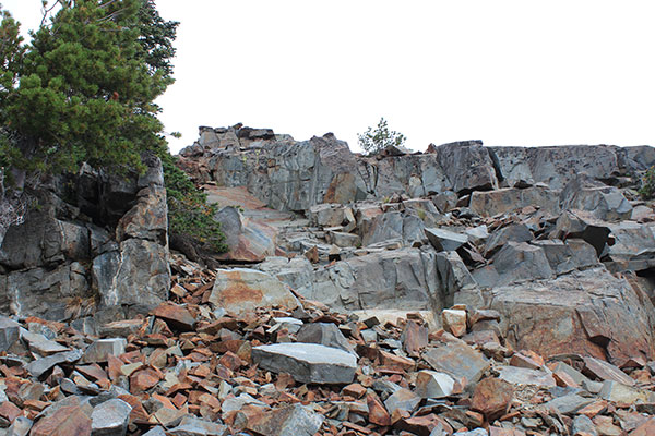
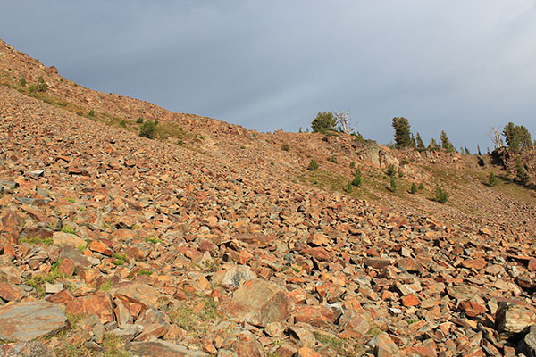
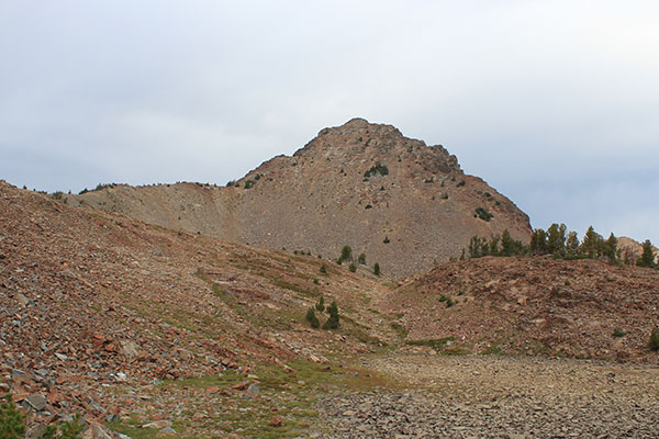
We followed the ridge northward to gain the steep South Face of Krag Peak. The South Face is a combination of loose talus and firm rock bands. High on the route we would occasionally knock talus loose onto each other so we moved apart and chose our routes up individually.
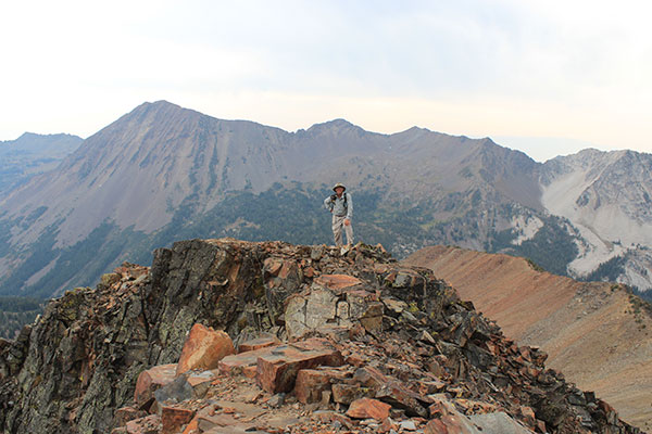
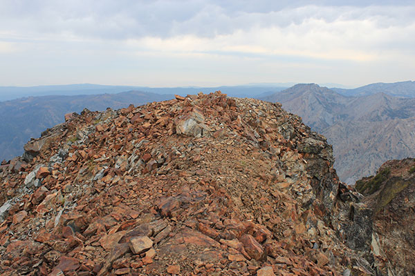
Eventually our routes rejoined and we reached the summit ridge. A short walk across the ridge led to the summit of Krag Peak.
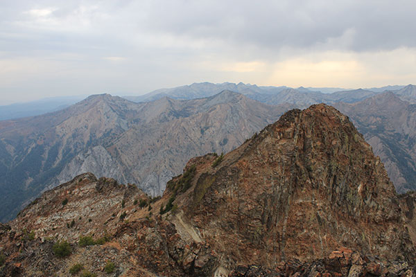
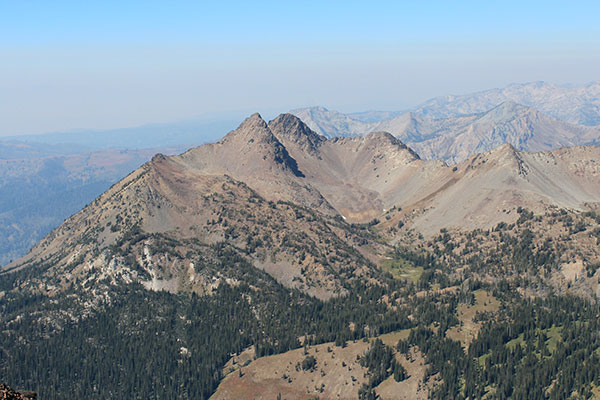
The visibility was poorer today than yesterday on Red Mountain but we enjoyed the views anyway. We had an early lunch and relaxed, understanding it was to be a short day and there was no hurry to leave.
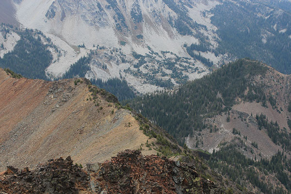
After our enjoying the summit for about an hour light rain began. I heard no thunder, but we did not want to delay descending the steep rock and talus in case it became wet and slippery. So we put on our rain jackets, packed up, and began our descent. The light rain ended before we returned to the Southeast Ridge but the wind seemed to pick up and we were glad to be off the steep slopes behind us.
We descended and returned to our camp. Soon the rain resumed and we relaxed in our tents comparing notes from the day’s climb.
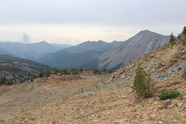
When the rain ended Larry went looking for a small lake and mine he noted on a map while I refilled our water containers and enjoyed the afternoon views from camp as the skies cleared. Larry returned with another goal achieved for the day. We enjoyed our last evening camped near Crater Lake.

Leave a Reply