I began climbing local Pacific Northwest Cascade volcanoes in 1975. These volcanoes rise far above the surrounding terrain and with each summit another one tempted me on. But by the mid 1980’s I had started exploring other ranges in Colorado, California, and Nevada. The variety and beauty of these other ranges suggested more explorations, and I decided to try to summit the high points of the Western US States. This project continued with more or less focus over many years, but recent progress left me with only one left to climb – Mauna Kea on the Big Island of Hawaii.
Linda and I flew to Kona with our packed bicycles and some minimal hiking gear. The snow conditions in Central Oregon had been poor for skiing for many weeks and we were eager to experience warm weather bicycling. Visiting Hawaii would be a good opportunity to combine bicycling with an attempt to complete my high point project on Mauna Kea.
Upon arrival we rented an F-150 pickup which was very convenient for carrying our bicycles to different bicycle route starting points on the island. After a few days of bicycling and waiting for the most favorable weather conditions on Mauna Kea, I was eager to visit the mountain. We loaded Linda’s bicycle and drove to the Mauna Kea Visitor Information Station at 9200 ft. Linda planned to ride back to Kona while I hiked to the summit (13796 ft.) and back.
A few days earlier thunderstorms had raged over the peak and I had been concerned about trail conditions, especially at the summit. But on the drive up the peak appeared clear of snow and the weather appeared stable.
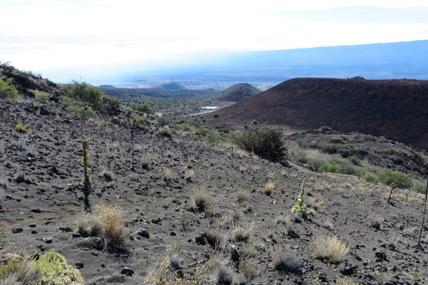
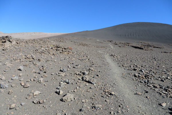
As Linda descended, I followed the Humu’ula Trail upwards. This hikers route starts about 100 yards up the road from the station. The Humu’ula Trail is well-marked that ascends about 5 miles over volcanic rock to meet the last mile of paved summit road switchbacks leading to observatories just below the summit.
The trail footing was generally quite good and the grade was gradual. I met and passed a pair of hikers about midway and met another soloist descending just before I reached the summit road switchbacks. I met another group hiking upward as I descended later, so most of my hike was solitary.
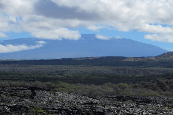
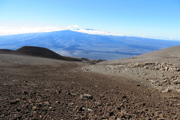
The sky was clear with a light breeze for most of the hike. Lower on the route I could hear distant artillery from the Pohakuloa Training Area in the saddle below between Mauna Kea and Mauna Loa to the south. Mauna Loa was mostly clear, though clouds were building on the east side of the island towards Hilo.
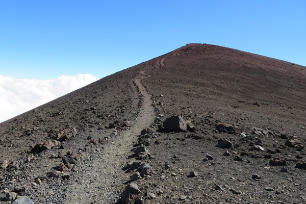
After about an hour I saw the summit ahead over a ridge, with the summit road cutting up the slope facing me. Clouds were building to the east as I climbed and eventually rain began falling on the east side of the saddle below.
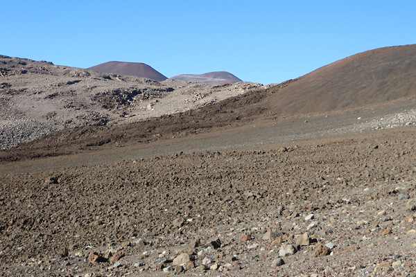
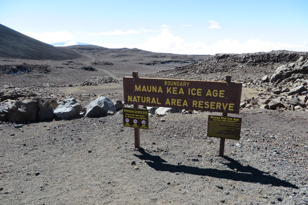
I continued hiking up the trail and entered the Mauna Kea Ice Age Natural Area Reserve, passed between two cinder cones and the junction to sacred Lake Waiau, and reached the end of the trail (5.5 miles/13,221 feet) at the summit road just before it begins switchbacking up towards the final summit observatories.
At this point, hikers follow the paved road as it cuts up to a small parking area just below the summit near observatories. From there a short trail leads to the summit. I saw a dusting of snow in the shadows behind a few rocks off the trail and it was windy and cool when I arrived at the summit. I was glad to have my Windstopper® jacket and capilene cap and gloves while I enjoyed the view, photographed panoramas, and savored the completion of my Western US States High Points project.
I descended by the same route. The clouds remained to the east and below me until near the end when the wind momentarily carried the clouds across my route reducing visibility slightly. I arrived at a very busy Visitor Information Center, but had enjoyed a mostly solitary experience on Mauna Kea.

I enjoyed reading your post. My friend and I are planning on hiking Mauna Kea beginning of august. I wanted to know how long it took you and if you experienced any altitude sickness. When do you recommend heading up the trail. We havent hiked anything like this but are in pretty good shape. What are the essential items to have other than lots of water? Thanks for any help you can give.
dan
Dan,
I left the Visitor Information Station about 9:20am and summitted about 1:40pm, taking many pictures on the way, so it took me about 4:20 to get up. I did not linger as much on the return and it took me 2:30 down. I felt a slight headache on top, but that will vary from person to person and their personal preparation of course. It was much cooler on the summit than at the VIS, so take wind/rain gear and a warm hat and gloves as well as snacks and sunglasses (carry the usual 10 essentials). A road leads to the summit from the VIS with intermediate parking, so you can start your hike higher if you like, or have someone drive a support vehicle in case you need it. I saw many vehicles on the road and some people have hitchhiked down from the summit as another option. Summitpost.org is a good resource: http://www.summitpost.org/mauna-kea/150854. I recommend the hike – have a fun time.