On Thursday, April 18, Linda and I and our dogs parked our trailer beside the Barnhardt Trailhead road and camped below the crest of the Mazatzal Mountains south of Payson, Arizona. We were boondocking, which meant we had no hookups but did have a lot of room for ourselves, dark nights, and little vehicle noise from AZ Highway 87 about a mile away. Our nearest neighbors were about half a mile away. We spent two nights camped there. Linda spent Friday morning mountain biking from our campsite up to the Barnhardt Trailhead. I spent Friday climbing nearby Mazatzal Peak.
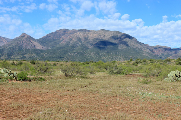
From our campsite Mazatzal Peak rose directly to the west. Its summit was visible high on the left side of the peak. Suicide Ridge gently descended from it to the right then dropped steeply down towards the Barnhardt Trailhead further right.
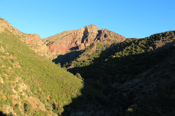
Mazatzal Peak has 7903 feet of elevation and 3942 feet of topographic prominence, making it the 12th most prominent peak in Arizona and the highpoint of the Mazatzal Mountains.
Climbing Mazatzal Peak has been on my wish list ever since I first explored its lower slopes five years ago. Climbing the peak via the Y-Bar Trail and the peak’s southeast ridge has a reputation of being a strenuous and thorny experience. But I had recently learned that the Barnhardt Trail provided access to a more pleasant if longer route. I hoped that route would work for me in spite of the hot afternoon temperatures.
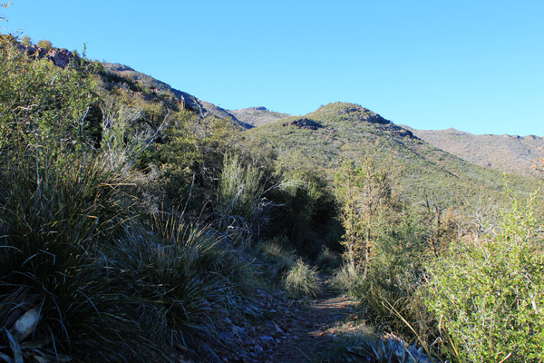
Linda got me an early start Friday morning and I was hiking as the sun rose. The first part of the climb took me several miles up the Barnhardt Trail. The trail climbed steeply above Barnhardt Canyon past a little waterfall to reach the northern slopes of Mazatzal Peak. From there the trail led west across the slopes. The trail was lined by thick bands of dense manzanita brush.
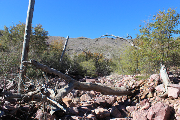
Eventually I reached a rocky wash descending from below the north ridge. This wash provided a passage through thick manzanita and oak. I boulder hopped and scrambled up the mostly open wash. When it entered a narrow canyon I turned right into a subsidiary draw and climbed it until downed timber slowed me down.
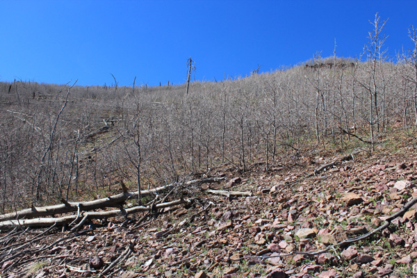
From there I traversed up a recently burned slope to reach the north ridge of the mountain. I found openings and deer trails passing through most of the thorny little trees. The downed timber was spaced well and was not difficult to step over or avoid.
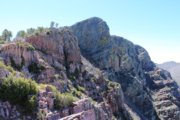
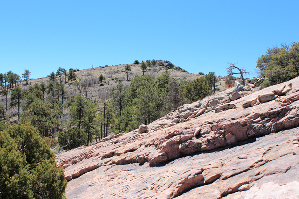
The north ridge was mostly open country. I followed the ridge south past a false summit to get my first view of the summit of Mazatzal Peak. From there it was an easy walk to the summit.
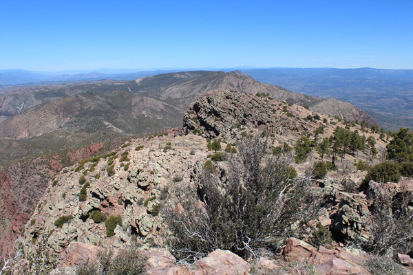
The sky was clear and the summit temperatures and light breeze were pleasant. I enjoyed identifying so many familiar peaks including Mount Humphreys 90 miles to the north, Four Peaks and Superstition Ridge to the south, Harquahala Mountain in the distant west, and possibly the White Mountains to the east.
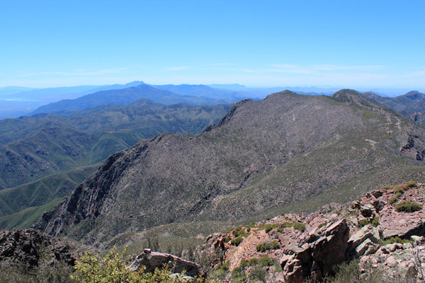
Phone reception was good so I was able to update Linda on my progress. I wished I could stay longer, but I had a long hike out and the day was sure to get hot as I descended.
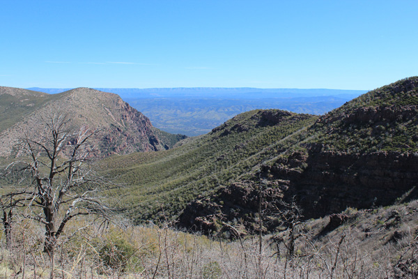
I returned the same route. The descent to the rocky wash went well, but I found the careful boulder hopping down the wash tedious as the day grew hotter. I rested when I returned to the Barnhardt Trail and saw the first other hikers of the day there.
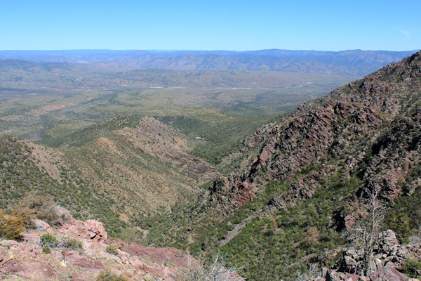
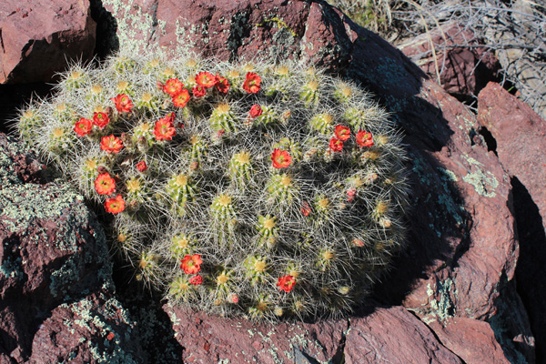
The brush was behind me, so I was able to remove my leather gloves and unbutton my long shirt sleeves to mitigate the higher temperatures. The trail hike out was straightforward but seemed long. I rationed my water and was glad to have brought three liters, including electrolyte. The only other hikers I met were a family of 6 hikers as I approached the trailhead.
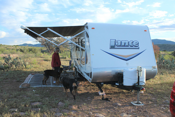
I returned to our campsite in time for dinner. Linda had enjoyed her bike ride and the dogs were happy that we were all together again. I celebrated my successful climb, a fine way to wrap up this winter season of peakbagging.

Leave a Reply