On Wednesday, January 20, I joined Michael Berry on a climb of Mohon Peak, a remote peak about 75 miles ESE of Kingman, Arizona. Mohon Peak, the highpoint of the Mohon Mountains, is the 64th most prominent peak in Arizona with 2059 feet of topographic prominence. Mohon Peak also has 34.1 miles of isolation, the distance to the nearest higher peak. The area is checkerboarded with private and public land, appearing to be used exclusively for cattle ranching.
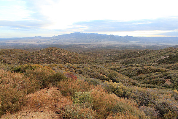
Michael and I met Wednesday morning in the community of Wikieup, between Wickenburg and Kingman on US Hwy 93. It had rained hard the previous day and the skies were cloudy this morning. The weather report hopefully suggested the weather would improve by afternoon. We drove our two vehicles north on US 93, then turned east and drove on dirt and gravel roads over the Aquarius Mountains. We descended into an open valley of mesas and canyons. At mile 14 we finally saw Mohon Peak for the first time with fresh snow and rain showers in progress. At least we would learn the driving route if we had to abandon the climb.
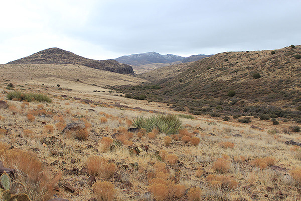
We drove on public access roads around and through active ranch land. The last two miles of the drive were on a rocky and high clearance road with some steep drops and climbs. We drove into and out of Winslow Canyon and then down into Gonzales Canyon. There was one notable squeeze between an eroded trench and a boulder. We we stopped shortly before a boulder-filled wash 21 miles from US 93. Here we parked our vehicles and started our climb.
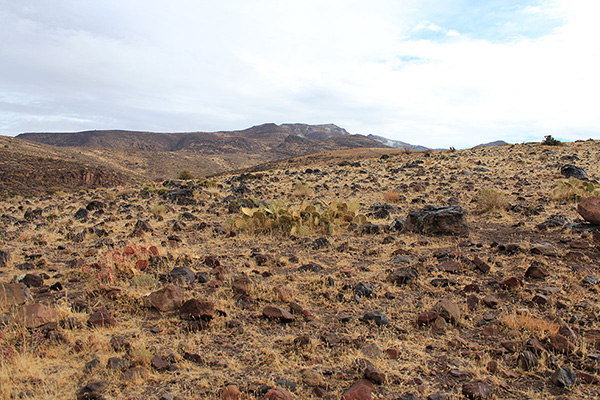
We crossed the wash, climbed over a gate and followed a better ranch road for several miles in light drizzle. The road climbed out of Gonzales Canyon, then dropped into and out of Dividing Canyon. Further east the road passed Goldwater Tank. As we hiked the weather gradually improved and my hopes improved. Beyond Goldwater Tank the road climbed onto the lower west ridge.
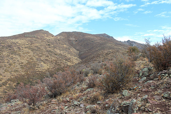
Here we left the road and began climbing the gentle west ridge towards the summit of Mohon Peak. Cattle tracks provided good footing, passage around brushy spots, and convenient routes through low cliffs.
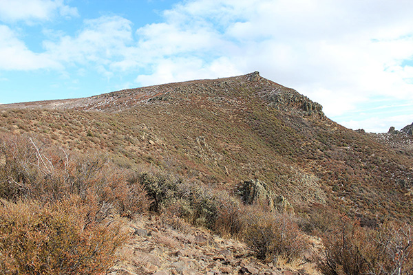
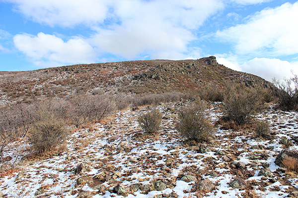
The weather continued to improve as we climbed. Most of the morning’s snow cover had melted high on the mountain. Near the summit we encountered thin snow on the ground, climbed over some icy rocks, and pushed through some brush.
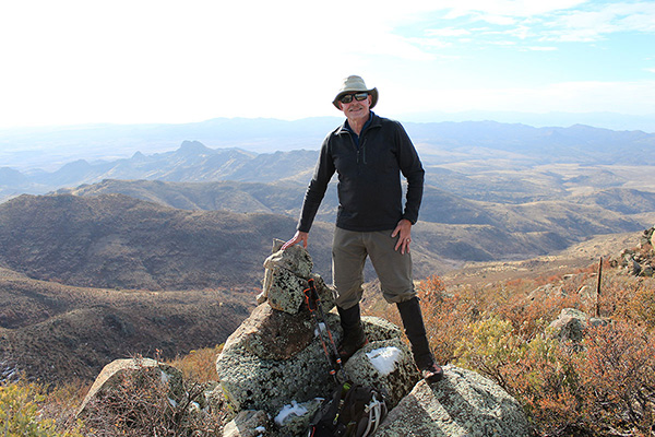
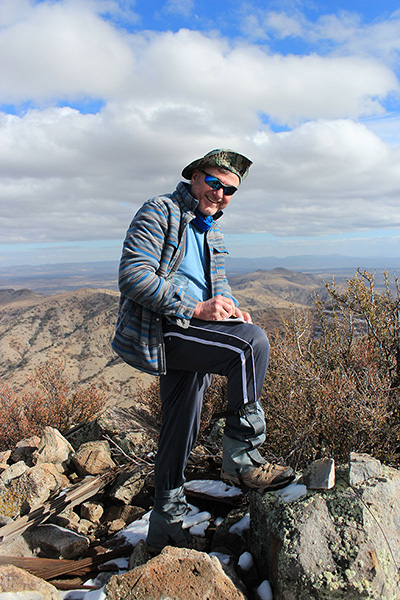
The summit was well marked with the MOHON WATER benchmark and a rock cairn. We added our names to the summit registry. We were happy to have summited such a remote peak but we knew it was a long hike back to our cars.
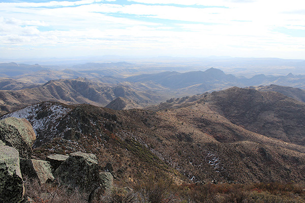
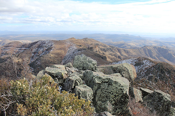
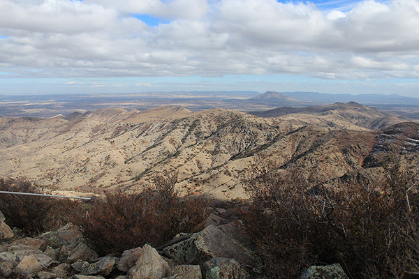
The visibility was good, but this is a remote and unfamiliar area to us. We identified the Aquarius Mountains to the west and the Hualapai Mountains to the northwest. But we could not identify several more distant peaks and ranges. After a short stay we began our descent.
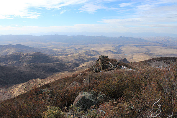
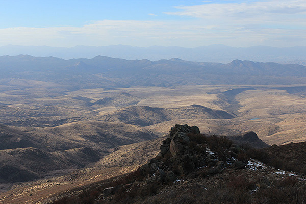
When we returned to the ranch road I bid Michael goodbye. He is a faster hiker than me and he wanted to get back to his car to drive out before dark, if possible. He hoped to hike Pine Mountain the next day.
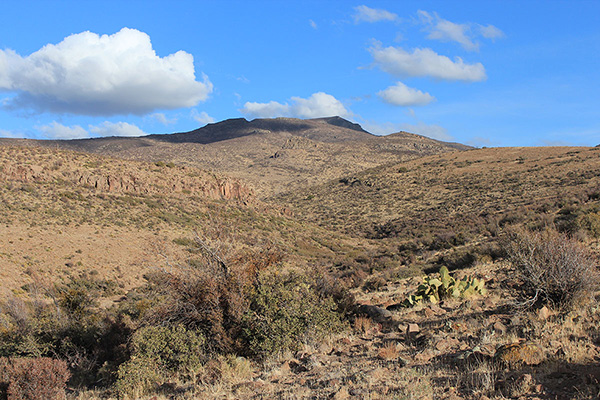
I rested, then resumed the road hike out past Goldwater Tank, into and out of Dividing Canyon, and across mesas towards Gonzales Canyon. Several times I stopped to look back at Mohon Peak to catch views of it in late afternoon light.
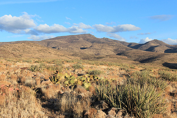
The sun set. It got darker but I kept walking on the road checking my GPS until I heard rustling in bushes on my right. I decided it was time to put on my headlamp. The headlamp was bright and it startled grouse out of the bushes.
I finally returned to my Jeep, saw that Michael had returned and left, and decided to spend the night there. It had been a long day for me, 16 miles and 4000 feet of gain. I relaxed over my dinner and celebrated a surprisingly successful climb in very remote country. The sky was dark and starry and I heard the distant howling of coyotes.

Leave a Reply