On December 7 I climbed Mount Glenn, the highpoint of the Dragoon Mountains in Southeast Arizona. Mount Glenn is the 30th most prominent peak in Arizona with 2840 feet of prominence and 7480 feet of elevation. The morning had high clouds but without threat of rain. The climb was brushy in spots but the summit had nice afternoon views of many surrounding mountain ranges.
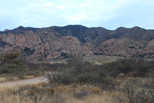
I followed Scott Surgent’s driving directions beyond the water tank and parked at a pullout near an old structure.
There are several Mount Glenn trip reports on peakbagger.com. Charlie Winger’s 2014-03-20 and Eric Kassan’s 2015-11-21 trip reports were helpful. From where I parked I hiked the road as it switchbacked up forested slopes to the road’s end, then bushwacked up to reach the East Ridge.
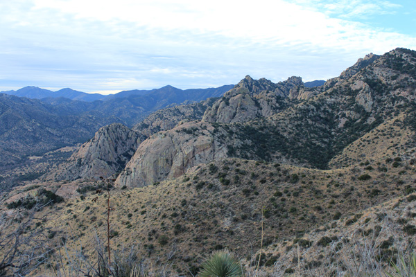
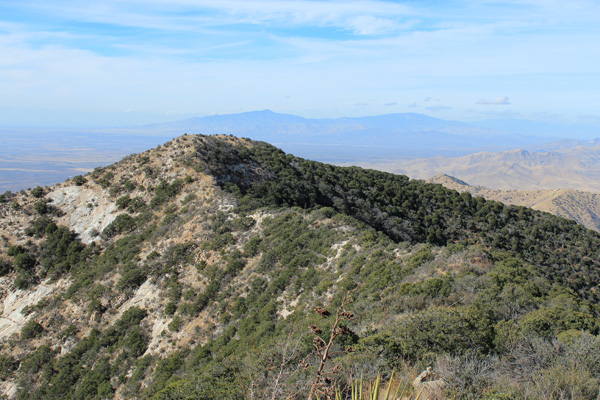
The lower East Ridge was open and provided easy travel. The summit of Mount Glenn is near the center of the above photo. My route followed over several subsidiary points on the East Ridge from right to left in the photo.
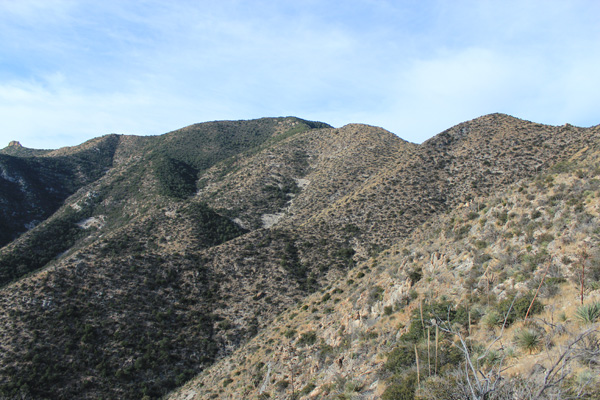
The upper East Ridge turns to the southwest and climbs over a volcanic dike and up slope to the start of thick brush high on the mountain. Fortunately, most of the thick brush the last 600 feet to the summit can be avoided by climbing to the left of the ridge line. My hiking poles, thick leather gloves, and long-sleeve shirt were very helpful.
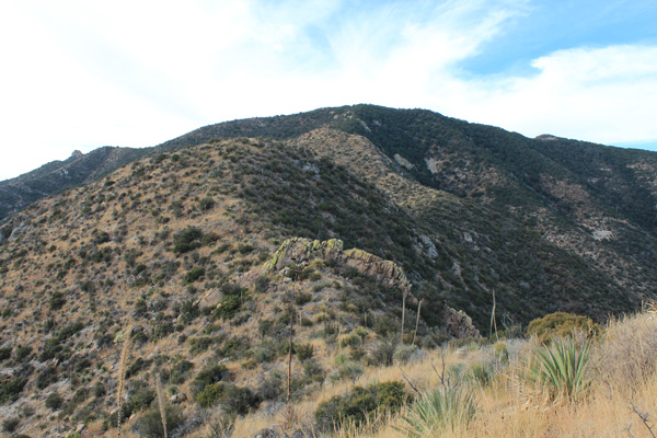
Just north of the summit cairn is another summit point that might actually be higher, but in any case has better views than the marked summit. From there I looked northwest towards the Rincon Mountains just east of Tucson and north towards the Little Dragoon, Galiuro, and Winchester Mountains.
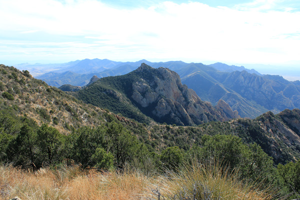
I returned to the summit cairn with better views of the Dragoon Mountains on the way. From the cairn I descended more directly, at times following trail remnants through the brush. Once out of the brush I followed the same route down the East Ridge and back to my Jeep. I have posted my trip statistics and GPS track here.

Leave a Reply