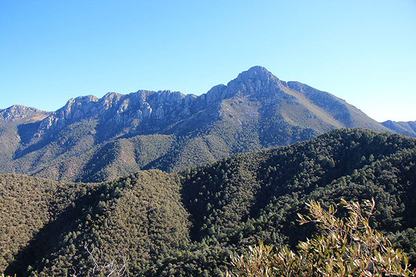
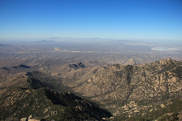
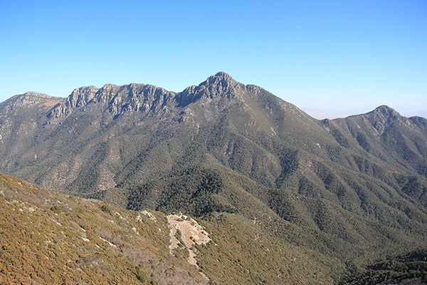
On Thursday, December 3, I hiked to the summit of Mount Hopkins in the Santa Rita Mountains of Southern Arizona. The Santa Rita mountains form the southern border of the Tucson basin. The highest peak of the range, Mount Wrightson, rises about 7000 feet above Tucson. It is accompanied to its west by lower Mount Hopkins. Both peaks are quite visible from bicycle routes in Tucson. I had hiked Mount Wrightson in March 2015, but had not yet visited Mount Hopkins. So it was past time to do so.
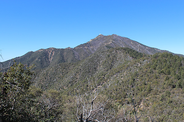
I drove to Madera Canyon and parked at the end of the road with access to several trails. I followed the Old Baldy, Vault Mine, and Agua Caliente Trails to a saddle below Mount Hopkins on its east side. It was quite windy and cool in the morning, but I was sheltered from most of the wind while climbing up the steep north side of the peak.
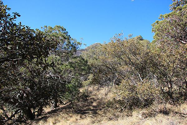
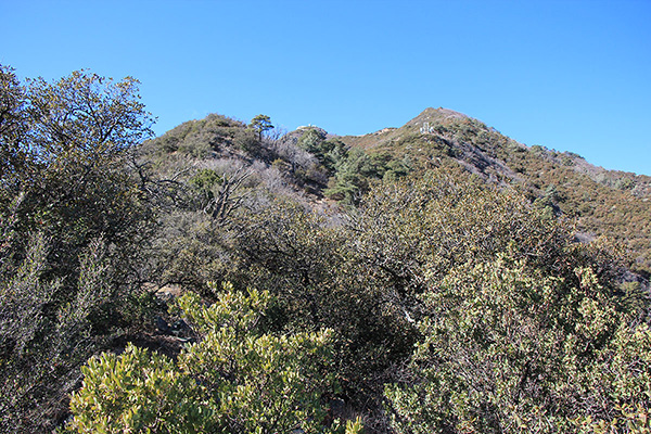
From the saddle I followed an unmaintained trail up a brushy ridge to intersect the paved summit road. I was fortunate to have this trail leading through the dense brush. A car passed by just before I reached the road.
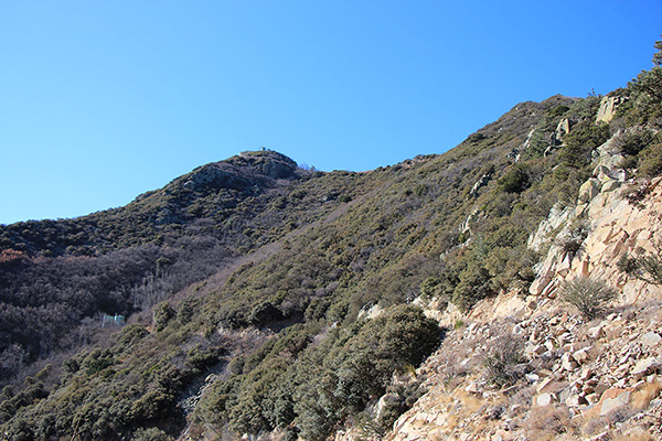
I hiked up the paved road towards the summit. I passed a road construction site but saw no one there. No other cars passed by as I climbed the road.
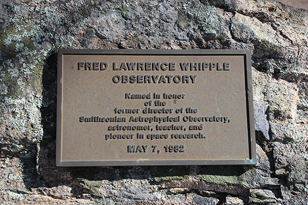
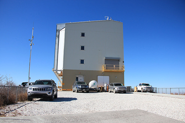
The Fred Lawrence Whipple Observatory (FLWO) is located beside the remaining summit of Mount Hopkins. As I passed observatory buildings I exchanged waves with the driver of a parked car. The support buildings I passed were closed, but the observatory itself had cars parked outside and some activity inside. I saw no other visitors.
I took many photos from near the observatory building. Afterwards, I found the highest natural point remaining of the peak and tagged it. I stopped for a solitary lunch at a picnic table just below the buildings and noted a few white-breasted nuthatches in the trees nearby.
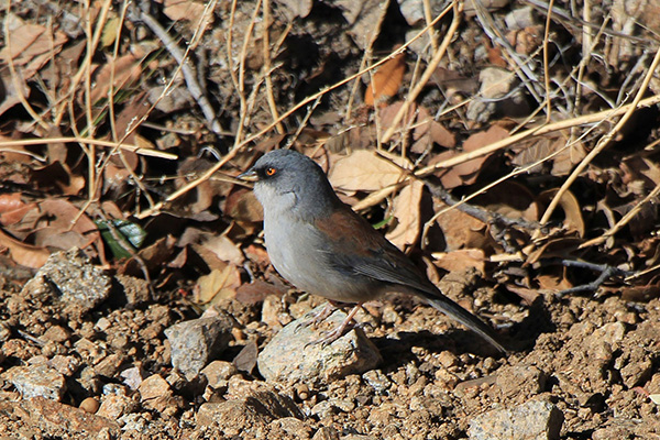
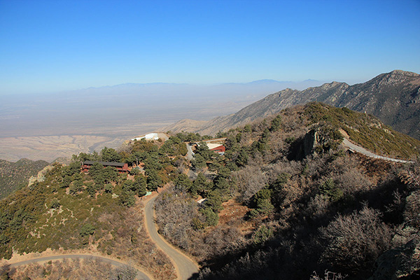
As I descended the road I paused for many photos, including some of Arizona Yellow-eyed Juncos (Junco phaeonotus ssp. palliatus).
I returned to the unmaintained trail and descended it back to the saddle. From there I descended the Agua Caliente and Carrie Nation Trails back to my Jeep, passing only two other hikers on my way.
It was a pretty, if breezy, day and I had almost all of it to myself. I learned that evening that the summit road and observatory have been closed to the public since March. Thus I got to enjoy my visit in ignorance and solitude.

Is there a trail to hike from Mt. Hopkins to Mt. Wrightson?
Bill,
I am not aware of such a trail. From the saddle west of Josephine Saddle I followed an unmaintained trail to intersect the Mount Hopkins road, then followed the road to the summit. Here is my peakbagger.com trip report with GPS track and map showing my route:
https://www.peakbagger.com/climber/ascent.aspx?aid=1551423
Paul