On Friday, April 19, I drove from Tucson, Arizona, northwest through Kingman, then north on US Hwy 93. I turned to the west on a dirt road. After a few miles I found a secluded campsite and settled in for the night. My plan was to hike Mount Perkins on Saturday with Las Vegas Mountaineers Club members Eric and Stacey Kassan. I have climbed many Arizona peaks with Eric and Stacey. I looked forward to sharing another peak with them on this trip.
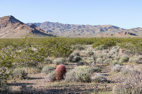
Mount Perkins is the highpoint of the Black Mountains northwest of Kingman (there are other Black Mountains to the southeast of Kingman). It has 2036 feet of prominence, making it the 67th most prominent peak in Arizona. There were several other prominent peaks visible from my campsite. I hope to visit the most prominent ones over the next year.
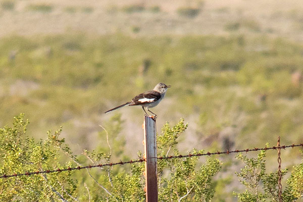
Overnight a Northern Mockingbird (Mimus polyglottos) began singing and continued to do so enthusiastically and with great variety for several hours. It was a pleasant addition to the ambiance of the desert.
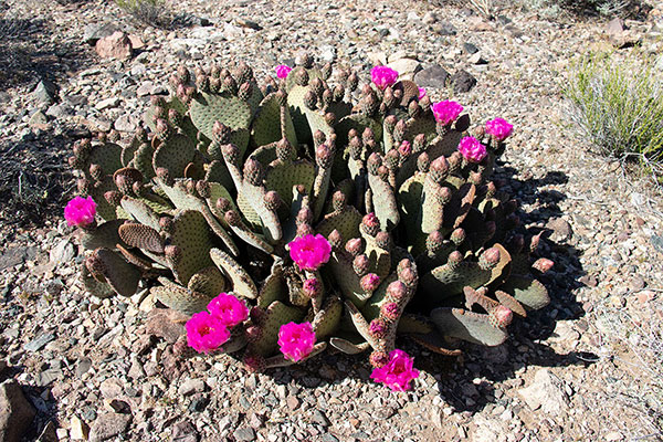
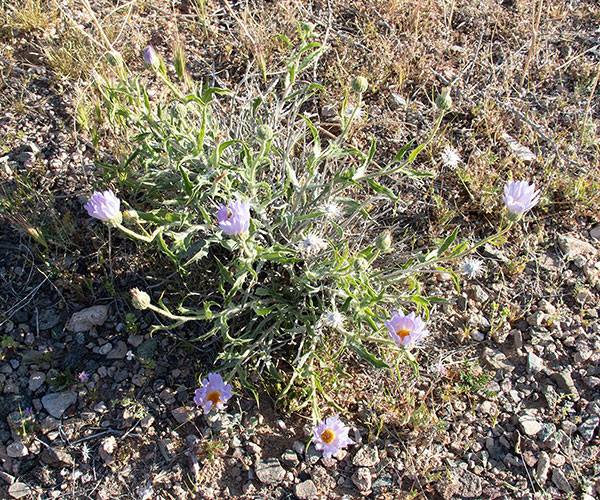
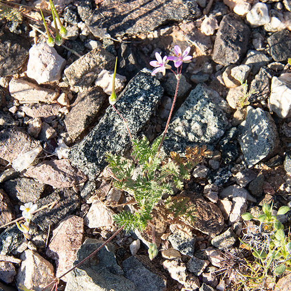
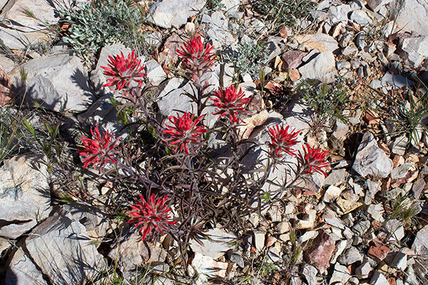
Saturday morning I enjoyed a leisurely breakfast and photographed some nearby wildflowers as I waited for Eric and Stacey.
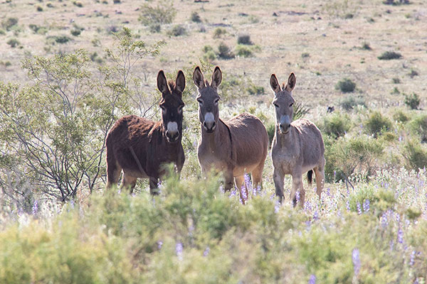
Eric and Stacey arrived and we drove further in towards Mount Perkins. On the way I paused to photograph some burros amongst cattle. Eric and Stacey patiently waited. We drove higher and parked before the end of the road to get some extra hiking for the day.
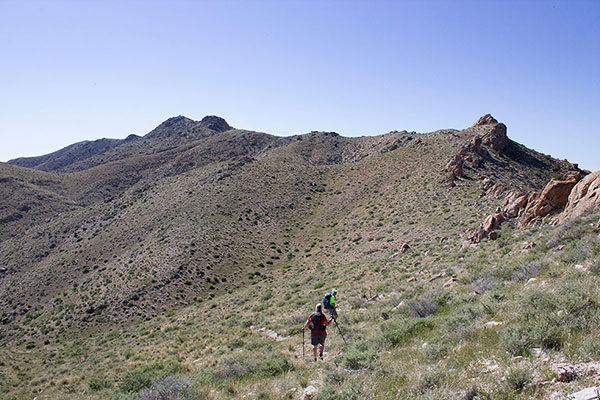
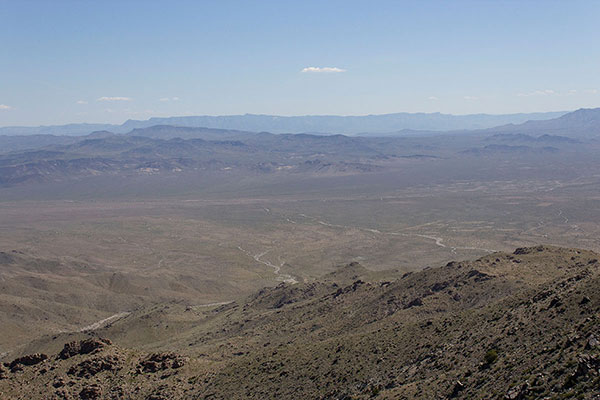
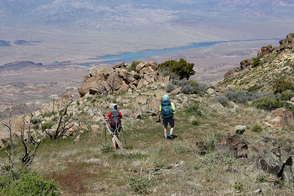
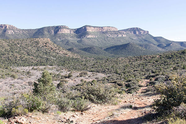
Our route led us up to the end of the road, then south along the north ridge of Mount Perkins. The ridge was open country and had a gentle grade. In places we followed an unmaintained trail.
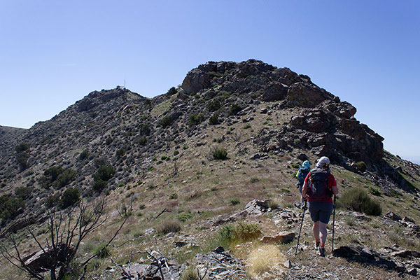
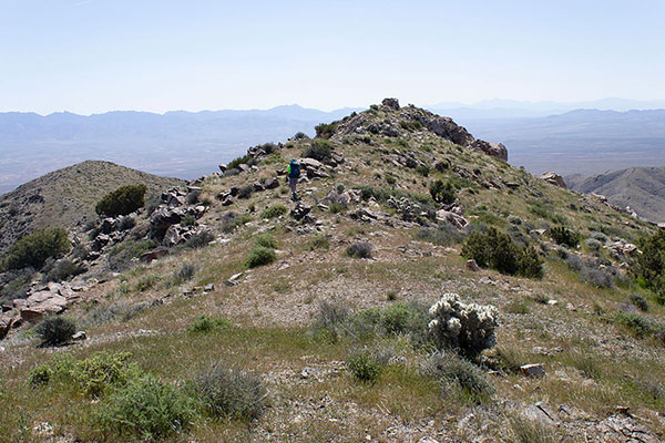
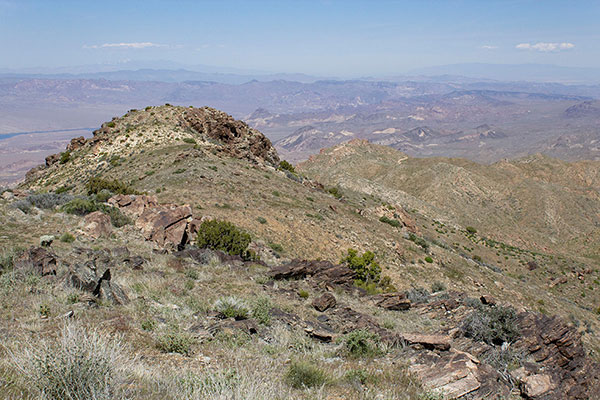
We enjoyed the views as we climbed, especially of Lake Mohave below us to the west. I paused for a few photos. Soon we passed a communication tower and reached the summit.
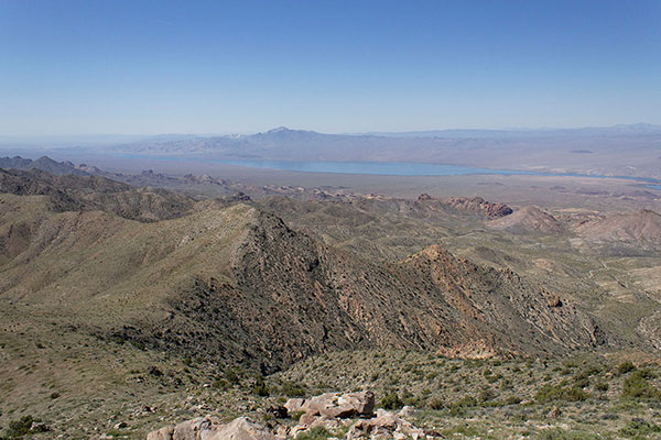
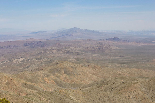
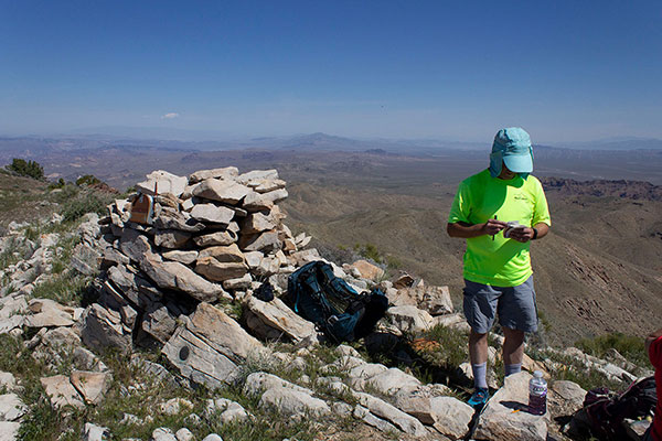
As usual, we added our names to the summit registry, took photos, and relaxed over lunch. I studied the unfamiliar peaks and ranges around us. It was a warm day with a cloudless sky. After a pleasant stay we descended the same route to our cars.
We drove east back to US Hwy 93, then south and east through Dolan Springs towards the Grand Wash Cliffs. We turned into the Grand Canyon Western Ranch hoping to gain access to our planned remote campsite. However, we were flagged down by a ranch employee. After a short discussion with the employee we retreated to the highway.
A short distance to the east we tried an alternative access point to the Iron Spring Road. This worked well; we drove a few miles south, then camped beside a rarely used pipeline road. From camp Iron Mountain rose immediately to the west. The Grand Wash Cliffs rose to the south.
It had been fun to hike with Eric and Stacey again and I enjoyed spending Saturday evening and night in camp with them. The next morning after breakfast Eric and Stacey left camp to climb nearby Iron Mountain. I drove a few miles further south to climb the highpoint of the Grand Wash Cliffs. I hope to share more Arizona peaks with Eric and Stacey again.

Leave a Reply