In November I visited the Navajo Nation in northeast Arizona to hike three prominent Navajo Nation peaks before winter settled in. My goal was to hike the highpoint of Black Mesa and the summits of Pastora Peak and Roof Butte.
On Thursday, November 9, I drove from Tucson to Chinle, Arizona. I stopped at the “Tseyi Heritage Cottonwood Campground at Canyon De Chelly” and purchased a Navajo Nation hiking permit for the next three days. During the previous phone calls and when I arrived the people there were friendly and helpful. A young woman issued my Navajo Nation hiking permit for Black Mesa, Pastora Peak, and Roof Butte and checked me in to the campground where I spent that night.
Black Mesa Highpoint
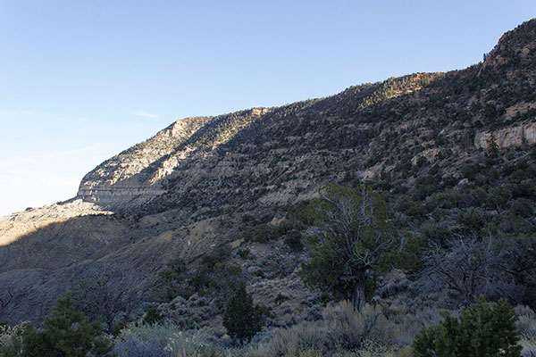
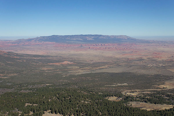
It was cold overnight in my tent and I was glad to have my winter sleeping bag. The next morning I drove to Kayenta, Arizona, then turned south on packed dirt roads towards Black Mesa. Black Mesa is a very broad upland mesa that rises abruptly here from the valley floor. The Black Mesa highpoint has 1808 feet of prominence, making it the 92nd most prominent peak in Arizona.
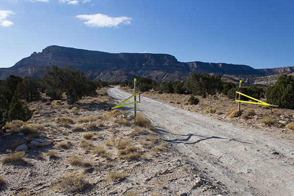
I parked beside the road outside an unlocked and open gate. The temperature was ideal for hiking. I left a copy of my permit on the dash of my Jeep and began my hike.
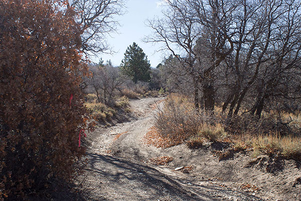
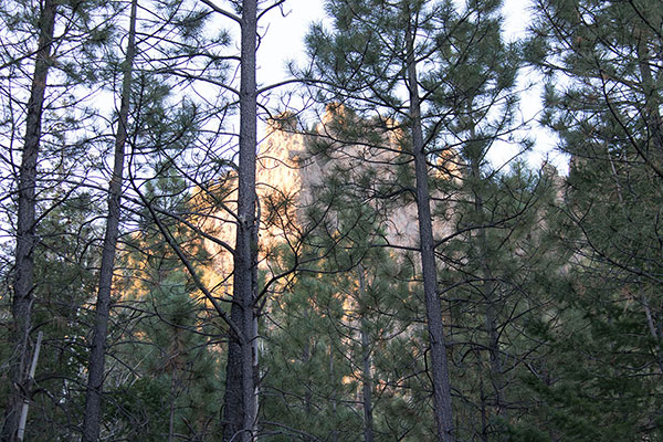
I followed a GPS track another hiker had shared on peakbagger.com. This avoided walking past a ranch house and corrals, guarded by a barking dog, and led to the “Yazzie Trail”. The Yazzie Trail led me along ridges towards the cliffs of Black Mesa in front of me.
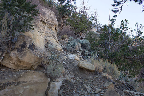
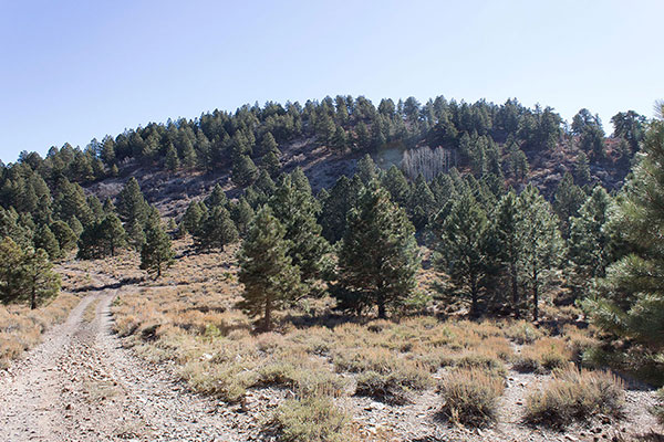
The trail switchbacks below, between, and above cliffs, then leads steeply up a buttress through forest and morning shadows to a broad plateau above.
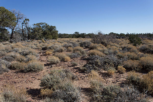
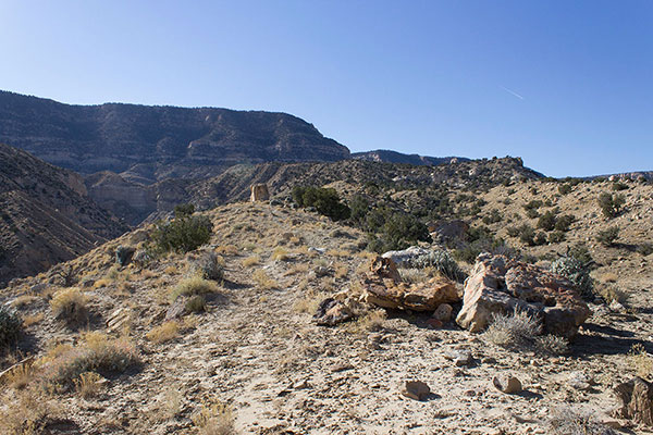
Once on the plateau I hiked east across open country and forest and found a rock cairn and summit registry marking the highpoint of Black Mesa. This is the highpoint of Navajo County, Arizona, and is a popular destination for County Highpointers. I found summit registry entries of many people I knew personally or from their record of climbing Arizona peaks. I added my name to the registry.
From the highpoint I walked a short distance from the highpoint to a point providing views to the north. It was a beautiful fall day. After lunch at the viewpoint I retraced my route across the plateau and down the sometimes loose trail back to my Jeep. I drove into nearby Kayenta to celebrate my visiting the prominent Black Mesa highpoint with a restaurant meal, warm motel room, and cozy bed.
Pastora Peak (Carrizo Mountains)
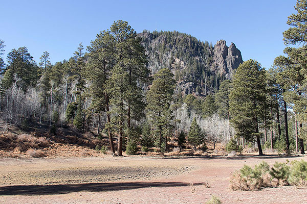
The next morning I drove from the town of Kayenta east on US Highway 160 to visit Pastora Peak. Pastora Peak, the highpoint of the Carrizo Mountains, has 2687 feet of prominence, making it the 33rd most prominent peak in Arizona. From US Highway 160 I turned south onto a dirt road leading towards the Carrizo Mountains.
I had read several trip reports describing accessing and hiking Pastora Peak. The firm consensus was that the drive in was the “crux” of the trip. With the dry autumn weather I did not encounter any slick road surfaces on side hill traverses, deep mud patches, or running creek crossings. After about 3 miles of driving I did straddle some deep ruts. Higher, I used 4WD High gear for added traction over the rocky road.
After driving about 8-9 miles I passed several groups of people harvesting pinon nuts beside the road. I saw they had driven to that point in pickup trucks so I could not claim too much for my driving skills. Beyond there, the road steepened for a few miles.
I carefully crawled up a few steep climbs over and around rocks. I occasionally used my Jeep’s 4WD Low gear for better climbing traction. The Jeep’s clearance and sturdy tires gave me confidence, and I did not bang its undercarriage armor as we climbed.
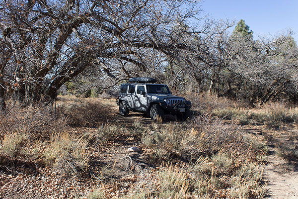
The last three miles of driving was across meadows and up easy climbs. At 13.2 miles from US Highway 160 I parked at a pretty spot under some trees at a road junction.
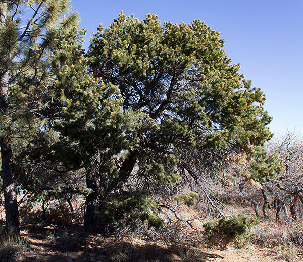
It was time to get a little hike in so from there I followed a narrow road on foot. At a rise I stepped off the road and finally saw Pastora Peak for the first time. It seemed to be just a little forested hill nearby. The road passed below Pastora Peak’s northwest slopes. Here I left the road and climbed up steep slopes and around some rock outcroppings and trees.
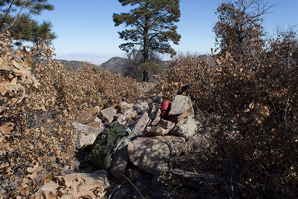
I found the summit rock cairn and registry on the peak’s brushy summit slopes. I signed in, took some photos, and ate lunch.
Originally I thought I might camp for the night on the drive out from Pastora Peak. But it had been such a short trip I decided to return to the highway and find a campsite near my next destination, Roof Butte.
The drive out was mostly uneventful. In spots I used 4WD Low gear to slow my descent. Once I banged a rock against my Jeep’s undercarriage. I paused to chat with a pinon nut gatherer and lower passed a family with an overloaded and overheating pickup who were giving their pickup a break.
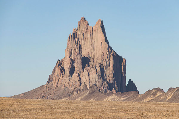
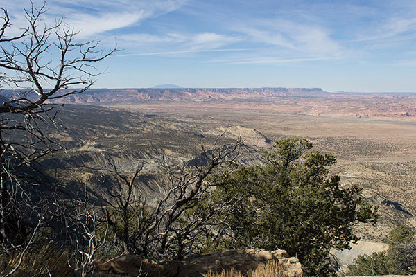
Once back to the highway I drove further east through Shiprock, New Mexico, then drove south and west towards Roof Butte and the Chuska Mountains. Along the way I paused to take a few photos Ship Rock (aka Shiprock), a most impressive tower of rock rising abruptly from the desert.
Further on, I turned onto a rocky road climbing steeply towards Roof Butte. Many firewood gatherers in loaded pickups slowly descended past me as I climbed. As evening approached I watched for a possible discrete campsite. Fortunately, I found a narrow dirt road leading into the forest to my left where I found a nice campsite. I settled in for the evening and night. The elevation was about 8600 feet and I expected a cold camp that night.
Roof Butte (Chuska Mountains)
On Sunday, November 12, I left my primitive forest campsite and continued driving steeply up a dirt and rock road towards the summit of Roof Butte. Roof Butte, the highpoint of the Chuska Mountains, has 3140 feet of prominence, making it the 22nd most prominent peak in Arizona.
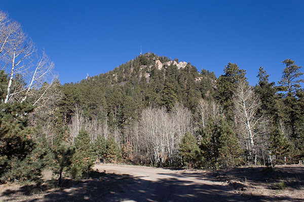

After a short drive I parked near a road junction to hike the summit road. It was another pretty day with clear skies and ideal hiking temperatures. I passed through an open gate and reached the summit of Roof Butte near a building and tower at the far end of the summit ridge.
I could not find a summit registry, but enjoyed the views and savored visiting these Navajo Nation peaks over the past three days. Soon I returned to my Jeep and began my long drive back to Tucson. Perhaps next November I will visit the Arizona Strip for three more prominent Arizona peaks.

Leave a Reply