On Sunday, January 16, I left the Hayden-Rhodes Aqueduct below Big Horn Peak and followed the Salome and Eagle Eye Roads north to climb an unnamed peak at the northern end of the Harquahala Mountains. This peak, Harquahala Peak 4489, has 1689 feet of prominence, making it the 110th most prominent peak in Arizona.
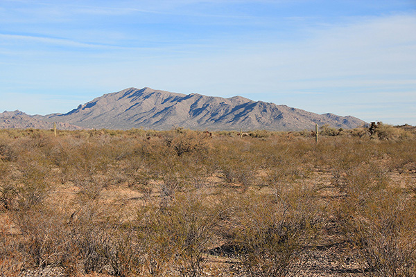
As I approached Harquahala Peak 4489 from the south I got good views of its long east ridge, my planned route to the summit. I expected a straightforward and scenic climb.
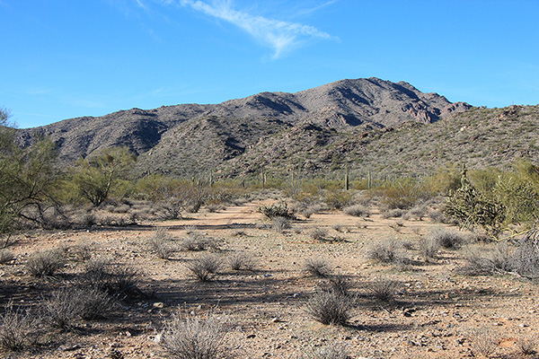
I turned south off Eagle Eye Road onto a dirt road beneath power lines, then followed another road towards the peak. This road soon passed through an unlocked gate and from there I drove to a good parking spot.
From there I followed a Jeep road further on foot past rock ruins and hiked across the desert to the base of the east ridge.
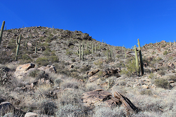
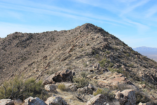
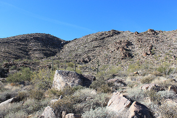
I chose my route up a steep slope to gain the east ridge, which I followed over false summits to the true summit of Harquahala Peak 4489. This was a pleasant ridge hike, open with firm footing.
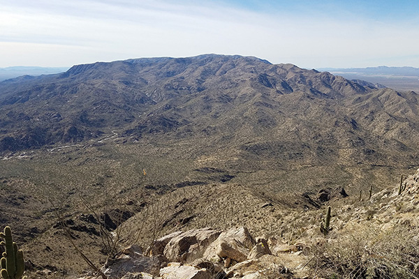
It was a clear day and I enjoyed the views of many prominent peaks in all directions around me. I took photos, added my name to the summit registry, and had lunch.
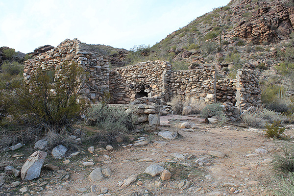
I descended the same route back to my Jeep, lingering a bit at the ruins. These stone structures appeared to be the remains of homesteader homes. They surely hold many memories of earlier times. I was impressed with the work needed to build them, wondered what they looked like in their prime, and who lived here.
Eagletail Mountains
I drove out to the Eagle Eye Road, headed south, and followed Centennial road west towards the Eagletail Mountains. I found a remote campsite to the north of Eagletail Peak, the highpoint of the mountains, and enjoyed a quiet night. The next morning I explored access to Eagletail Peak. Someday, if I feel prepared, I may join others and attempt to climb it.

Leave a Reply