On Saturday morning, December 23, I left Linda and our dogs at the Twin Peaks Campground in Organ Pipe Cactus National Monument for a climb of nearby Pinkley Peak. Pinkley Peak is the highpoint of the Puerto Blanco Mountains. It has 1345 feet of topographic prominence and has a rocky and complex structure that provides interesting climbing. Linda later took the dogs out to explore the monument on their own.
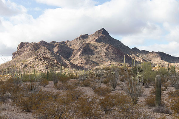
I drove past the Kris Eggle Visitor Center and north onto the Puerto Blanco Drive, admiring views of and photographing Pinkley Peak as I approached it. I parked at a picnic area immediately east of Pinkley Peak.
My friend Scott Peavy had provided a GPS track of his route up Pinkley Peak. I also had waypoints for another route from the Southern Arizona Climbing Club. To document an alternative route for peakbagger.com I decided to follow the SAHC route.
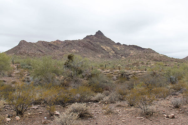
I hiked directly towards the peak across the desert, then climbed onto the lower southeast ridge. I followed this ridge towards cliffs ahead, then traversed left below the cliffs and climbed a gully to a lower saddle. With all the rain the previous day soil and rocks were a bit loose but this would be more concerning on my descent, later.
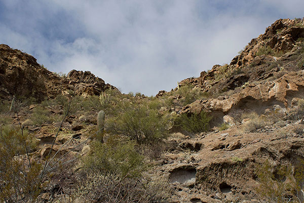
From the lower saddle I could see the summit high above me to the right and a higher saddle below it to the left. The higher saddle was my next destination.
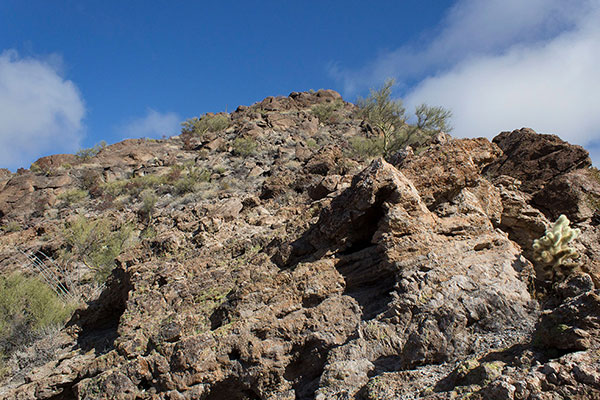
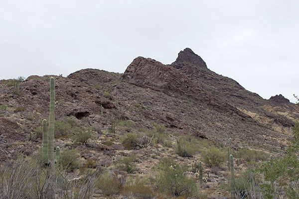
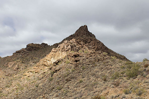
I traversed into a wide gully below the summit cliffs and climbed to the high saddle. From the high saddle I climbed the ridge leading directly towards the summit above me. The climbing was easy, but fun.
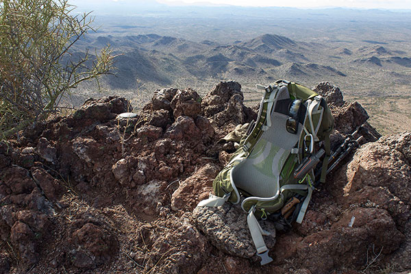
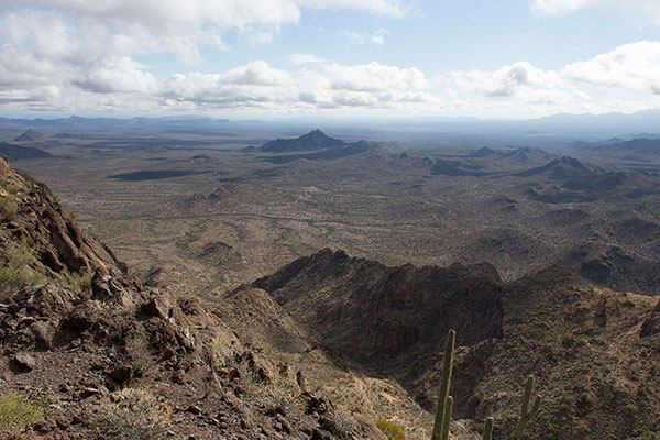
The summit provided nice views and a roomy spot for me to enjoy lunch. I found the summit registry well hidden beneath a large rock and added my name to it. I took several photos.
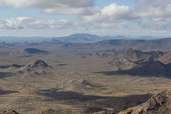
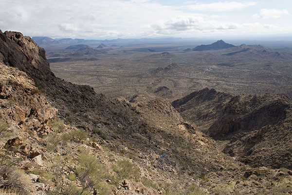
I identified Quitovaguita Benchmark, the highpoint of the Agua Dulce Mountains. I would like to climb it sometime, but it would require a long hike across the desert near the porous USA/Mexico border; I would prefer not to hike this one alone.
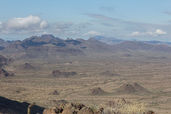
I recognized Kino Peak, Gro Benchmark, and Growler Peak to the NNW. I climbed Kino Peak, on the left in the above photo, with Dave Kohnke last March. It was a memorable and satisfying climb with a good companion.
Someday I would like to hike Gro Benchmark in the center of the photo, but it would be a very long hike.
Growler Peak lies further in the distance on the right of the photo. I climbed Growler Peak with Matthias Stender in December 2020. While we relaxed on the summit Matthias shared stories of the Growler Valley with me. I subsequently read about some of those events.
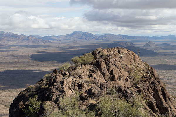
Mount Ajo and the Ajo Range were obscured in clouds to the ENE. But Diaz Peak, just left of center in the above photo, was visible. I climbed Diaz Peak last January solo.
To the southeast I recognized Twin Peaks. The Twin Peaks Campground lies just beyond it out of view in the above photo.
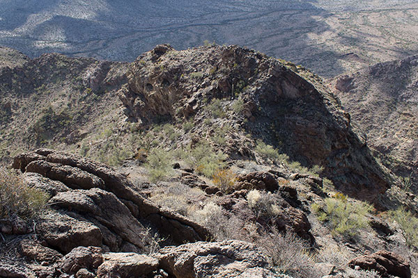
After a brief stay, I began my careful descent. I descended my ascent route on sometimes loose ground back to the picnic area without incident. Pinkley Peak seemed a very worthwhile and fun climb.

Paul,
I climbed Pinkley Peak over the 2024 MLK weekend, not long after your hike. I often consult your trip reports on Peakbagger as I knock off Arizona mountain range highpoints. I noticed above that you are interested in climbing the Agua Dulce Mountains on the CPNWR. I climbed to the highpoint in the mid-90s, and wouldn’t mind a repeat visit. I was able to drive on the admin road to Agua Dulce Pass because I was on official business for the Refuge, but this time I’d have to slog down from the Camino like everyone else. Let me know if you’re interested. There are a couple of other peaks out there that I need to do that will require long approach hikes.