I first noticed Planet Peak from the summit of Buckskin Benchmark in April 2020 and thought I should visit it some day. Planet Peak lies in the western extension of the Buckskin Mountains. It has 1541 feet of topographic prominence, making it the 141st most prominent peak in Arizona. It also has 20 miles of isolation, so it dominates the peaks around it for a radius of twenty miles.
Recently I researched access to the peak using USGS topographic maps and recorded GPS waypoints to follow the correct roads. I studied the roads using Google satellite views to verify the road conditions and open passage across the Hayden-Rhodes Aqueduct. I looked forward to finally visiting this remote peak.
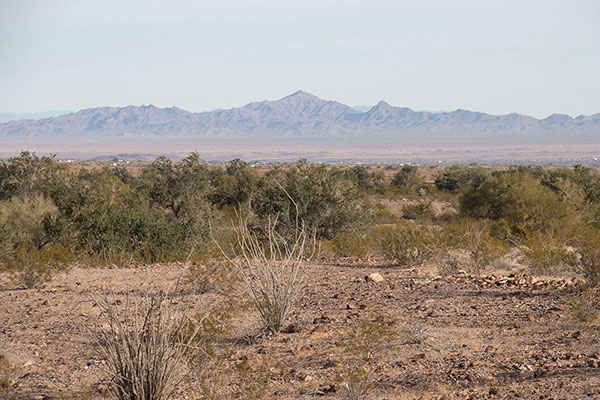
Friday morning, December 29, I left my campsite near the Yuma Proving Grounds and drove north through Quartzsite and on through the Plomosa Mountains to the little town of Bouse, Arizona. I then began following the Swansea Road and others across the Cactus Plain north and west to Planet Peak.
Most of the 24.6 miles of driving in to my parking spot below Planet Peak from the town of Bouse was passible by most cars. I met several other vehicles on my route as far as the power lines. It was not a lonely drive that morning.
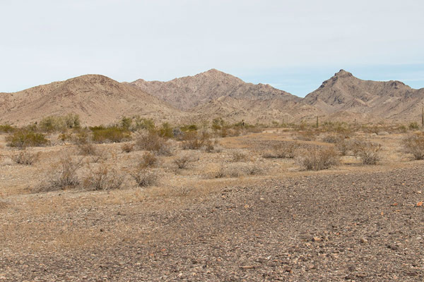
However, at mile 22.2, under the power lines, I continued onto a more primitive road, then turned directly towards Planet Peak north of the power lines. These more primitive roads required high clearance and I met no other drivers.
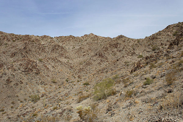
The rutted road leading towards the south face of Planet Peak eventually entered a rocky wash and I decided it was time to park and start hiking. I followed the rest of the road to its end, then traversed upwards towards the south ridge of Planet Peak. I was following a GPS track from my friend Matthias Stender, and the route was straightforward, if loose on the open slopes.
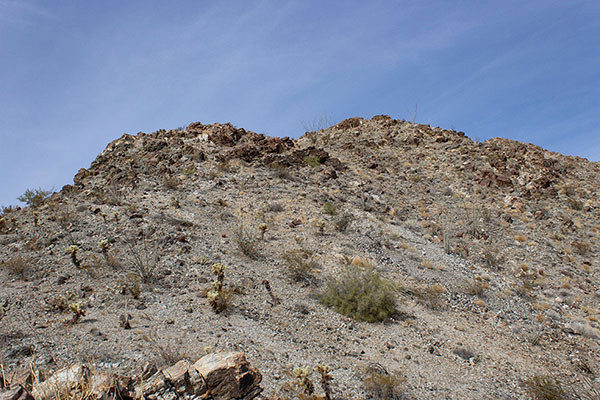
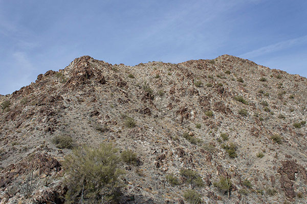
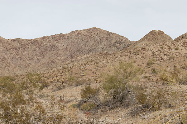
I reached the saddle on the south ridge and followed the ridge higher to gain the summit ridge. The summit ridge had good footing and led me to the summit of Planet Peak.
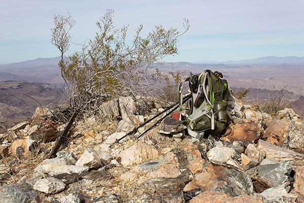
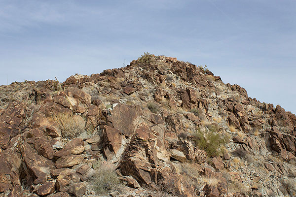
I found the PLANET Benchmark at the summit. The summit registry was in a jar within telescoping red tin cans. I added my name to the summit registry and ate lunch.
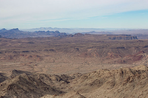
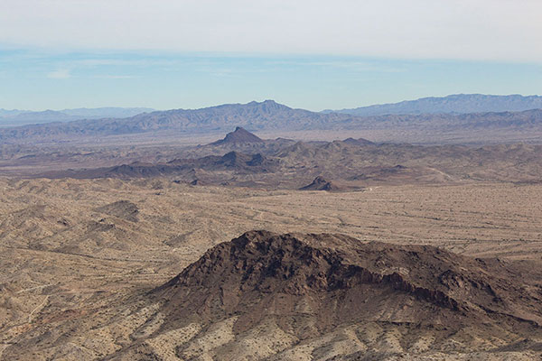
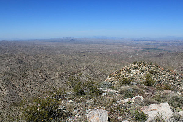
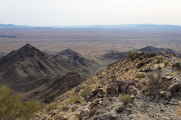
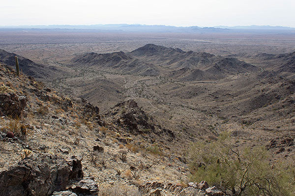
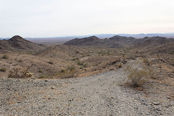
The Planet Peak summit offers nice views in all directions. I identified many peaks I have previously visited and the following day’s goal, Black Mesa, far to the south.
After lunch on the summit I began my descent. The route was obvious now, but I needed to take care descending the loose rock. Once I reached the end of the road I was able to relax the rest of the hike back to my Jeep.
I returned to Bouse, meeting many ATVs and Jeeps on the drive out. South of Bouse I found a dispersed camping site where I settled in for the evening and night. It was satisfying to have finally visited remote Planet Peak.

Leave a Reply