There are many little mountain ranges in the Sonoran Desert west of Tucson. They may not have the prominence of other, bigger mountain ranges, but it can be fun to visit them for their views, solitude, and sense of mystery. I recently visited the highpoints of two little mountain ranges, the Quijotoa and Artesa Mountains.
Quijotoa Mountains Highpoint
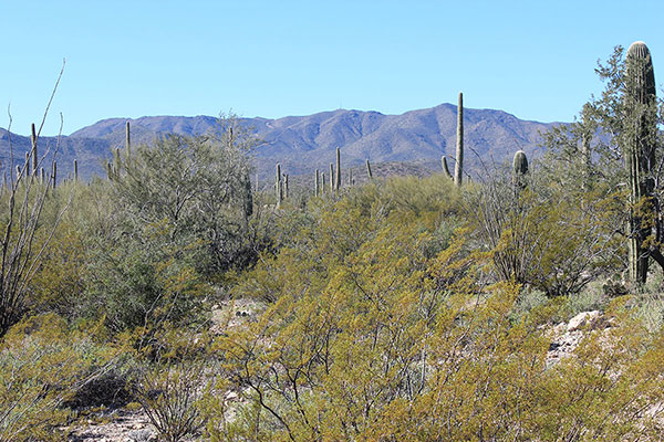
On Saturday morning, January 18, I drove west through Sells, then north on Arizona Highway 86 looking for a road leading towards the east side of the Quijotoa Mountains and up to the highpoint of the range. I found the road I wanted and followed it through a village and two open gates.
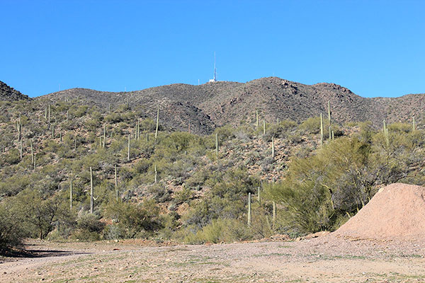
As I drove higher I had second thoughts. The second gate was an automatic gate topped with razor wire. If that gate were to close behind me I would have a difficult time leaving. Also, it had been a while since I had last hiked and I needed some exercise. So I turned around and descended through the gates back to a windmill beside a water tank and empty corral. Here I parked and returned on foot up the road.
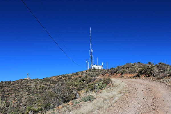
Beyond the gates the road steepened and became rockier and eroded, but the hiking was enjoyable. Before long I rounded a corner and saw the towers at the end of the road at the highpoint of the Quijotoa Mountains. I passed a Border Patrol “truck-mounted surveillance package” parked just below the fenced towers.
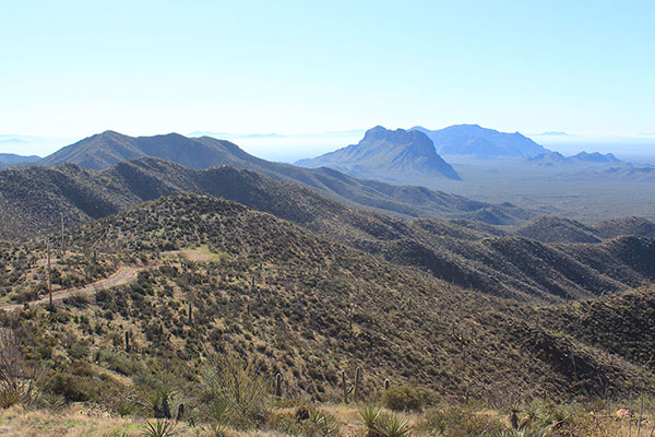
I circled the fenced towers, taking photos of the many surrounding mountain ranges and peaks. It was fun to see so many I had previously visited from this new perspective and future peaks and ranges I might visit another time. Ben Nevis Mountain and South Mountain rose steeply to the south. After identifying the highpoint of the Quijotoa Mountains I descended back to my Jeep.
Artesa Mountains Highpoint
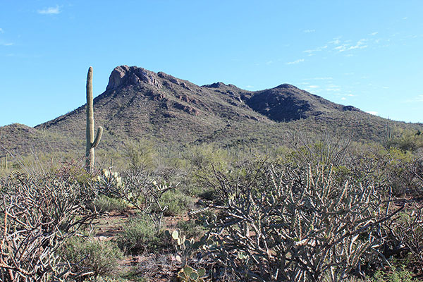
I returned to Sells, then searched out the parking spot friends had previously used to access the highpoint of the Artesa Mountains. After taking one false road I found another one that led past a corral and cattle below the peaks I wanted access to. I drove a little beyond the corral to a discrete spot and parked.
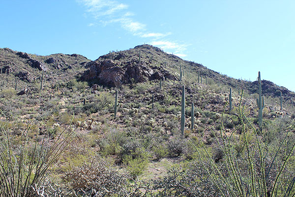
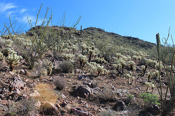
It was early enough in the day to give the peak a try. I hiked across mostly open slopes and up along a wash towards a ridge that appeared to lead towards the highpoint. I climbed that ridge on good footing below some steeper rock passing through patches of teddy bear cholla. From there I walked across a saddle and traversed below more rocks towards what appeared to be the summit.
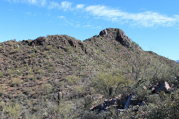
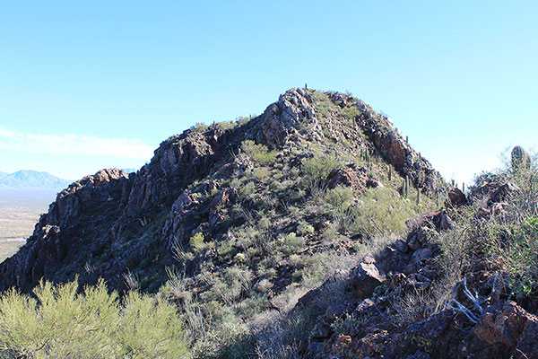
Eventually I reached what I expected to be the highpoint, found it was likely not, and hiked just a short distance along the summit ridge to the actual highpoint.
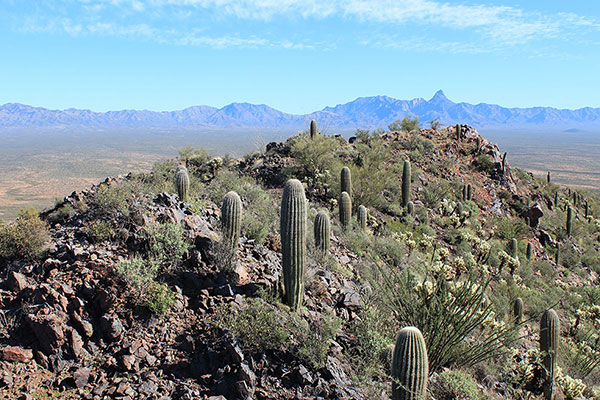
The sky was clear with a mild breeze and pleasant temperatures. I enjoyed a late lunch, added my name to the names of some friends already in the registry, and took many photos of familiar peaks.
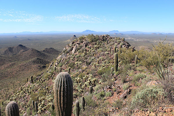
I descended mostly the same route but more closely followed the rocky ridgelines to avoid cholla. The rock was firm, the downclimbing was fun, and the descent went quickly and uneventfully. It was a fun and satisfying day.

Leave a Reply