Saturday, January 2, I joined the Southern Arizona Hiking Club on two climbs west of Tucson in the Roskruge Mountains. I was one of the drivers and I gave my Jeep a workout on the rutted and rocky roads and tight squeezes through abrasive brush. My Jeep’s “Arizona Striping” is getting quite pronounced now. The peaks have low elevation but have interesting climbs with fine views of the surrounding mountains.
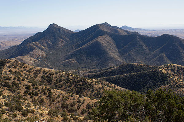
Our first climb was of Martina Mountain which provided a fine view of the nearby Coyote Mountains. We generally hiked cross country up the ramp in the sunlight on the left side of the above photo, then climbed up a rocky band to the summit. We climbed 1100 feet in about 0.8 mile and enjoyed the scrambling over rocks near the top.
The summit was open with good views of the surrounding mountains. To the north and east were the rest of the Roskruge Mountains. Further to the east were the Tucson, Santa Catalina, and Rincon Mountains.
We had a very nice view of the Coyote Mountains to the southwest. Someday I want to hike Coyote Peak, the high point of these mountains. It will be a long day when I try this. Kitt Peak is just behind the Coyote Mountains from this view.
We descended the east face down talus slopes and through some brush. My thick gloves worked very well, especially when I needed to remove cholla segments from my clothes.
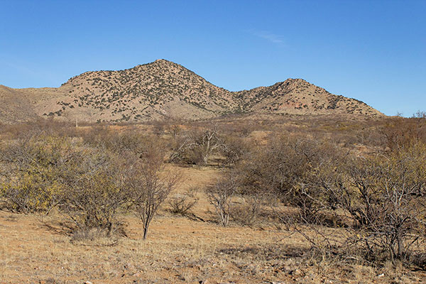
After climbing Martina Mountain in the morning we moved our vehicles along Jeep trails to hike Sharp Peak that afternoon. I abused my Jeep even more, but it was a good experience and I have accepted the paint damage as a “badge of honor”.
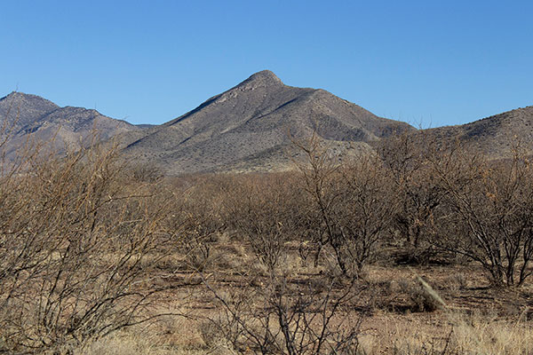
Our climb of Sharp Peak started with a 1.5 mile hike through the desert and up to the saddle on the left side in the above photo. From here the route required a lot of care over some steep loose rock.
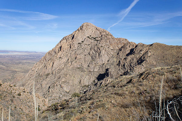
From the saddle we climbed up just left of the steep ridge above us, crossed the upper saddle to the left, and then climbed up steep rock slopes to the summit. I thought it was a challenging route for a hiking club.
The upper rock face just below the Sharp Peak summit offered many possible routes. Many of the group climbed the loose gully visible at the bottom of the above photo. I lead a few others on the more stable rock ridge on the left side to reach the summit.
The descent of the upper slopes of Sharp Peak was interesting with some exposure at times. Some of the group were particularly concerned about the descent, but everyone did well and avoided unnecessary rockfall onto others.
These were my first two climbs with the Southern Arizona Hiking Club, though I did wander around the West Silver Bells with SAHC a few weeks earlier. The members keep close tab on the number of SAHC Peaks they have climbed. The leader of this outing has climbed all 415 of them. The assistant leader has climbed over 300 of them. I look forward to many more scrambles and climbs with the club in the future.
Paul McClellan says
I was surprised to discover many small snail shells while descending the east-facing talus slopes of Martina Mountain. It appears these shells belong to the Sonoran talussnail (Sonorella magdalenensis), an imperiled species of terrestrial snail. More information can be found here.