On Wednesday, August 16, I climbed Ruby Peak in the Wallowa Mountains of northeast Oregon. Ruby Peak has 644 feet of topographic prominence, but with 8884 feet of elevation it is the 41st highest peak in Oregon. It lies in the Wallowa Mountains of northeast Oregon, where 37 of the 100 highest Oregon peaks reside.
The previous afternoon, I left the Baker Valley and drove to the city of Enterprise, then south into the Wallowa Mountains. On the way my Jeep temperature gauge momentarily registered 107 degrees F. I looked forward to getting into the mountains. I drove past the city of Enterprise, then up the 4WD Lime Quarry Road to an abandoned quarry. Here I camped for the night beside Murray Creek.
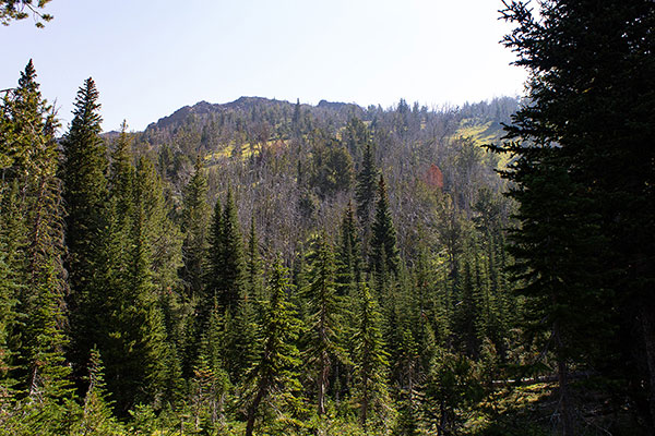
The next morning I descended a short distance to the Old Murray Saddle Trailhead which I had passed the previous afternoon. From here I could see some of the steep east wall of Ruby Peak from between stands of trees.
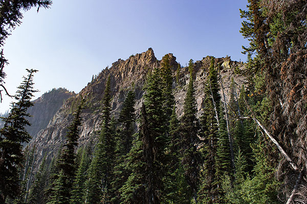
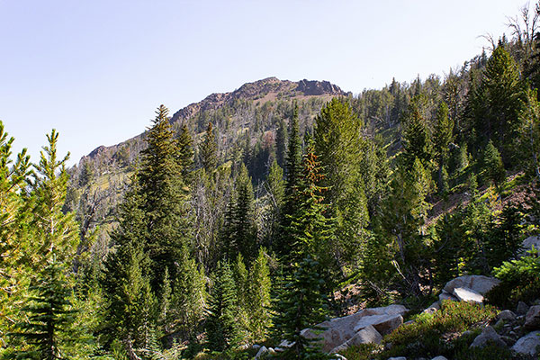
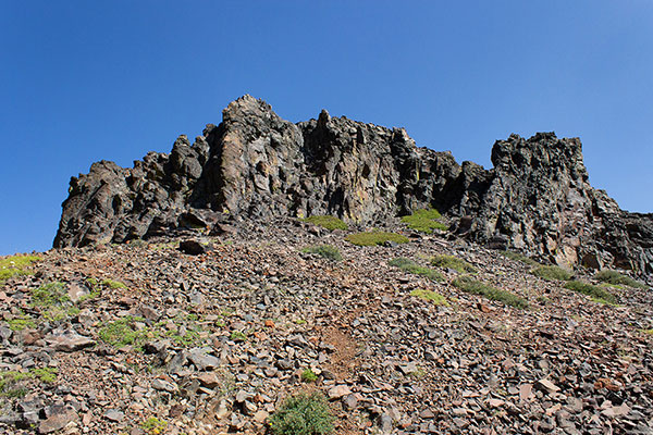
I climbed the steep Old Murray Saddle Trail to Murray Saddle, a narrow opening in the North Ridge of Ruby Peak. On the climb to the saddle I noted the very impressive cliffs on the east side of the North Ridge. I was glad my route did not ascend those cliffs.
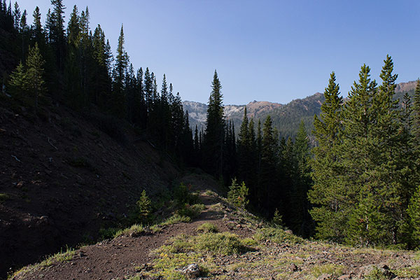
Once at the saddle, I continued along a trail following the Silver Creek Ditch through otherwise dense forest. This led around the cliffy North Ridge. Eventually I left the ditch and began traveling off-trail south through forest towards Ruby Peak’s South Ridge.
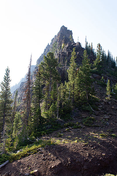
The forest was mostly open and I tried to link forest openings and avoid downed timber. Ruby Peak appeared above me from forest openings. I considered climbing directly towards the summit from the Silver Creek Basin, but I wanted a more open route and decided to stick to my plan to gain the south ridge and follow it up, instead.
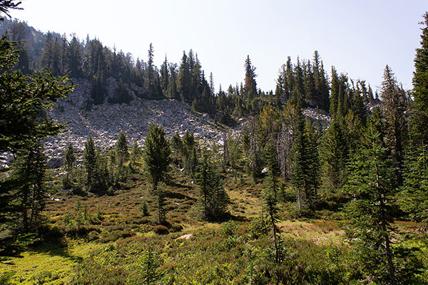
I climbed talus slopes to gain the South Ridge. The talus was stable and provided steps up the slope. The last climb to the South Ridge was an open slope with good footing.
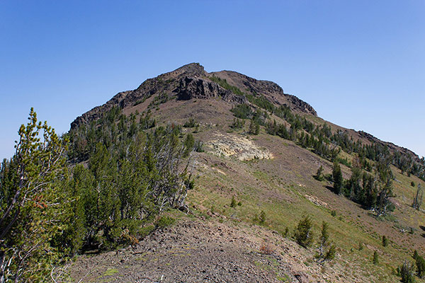
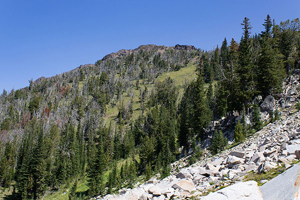
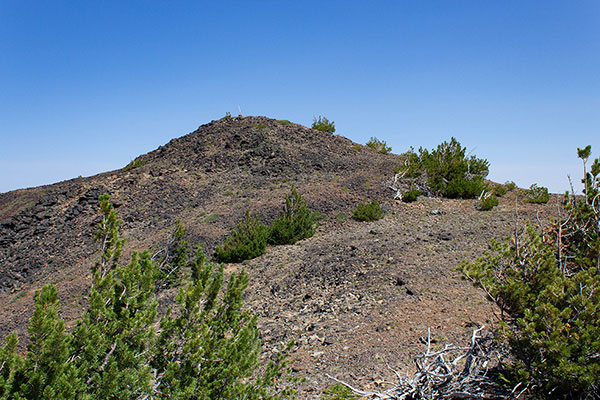
I followed the South Ridge to the summit on a faint trail over open country, passing a cliff band to its left.
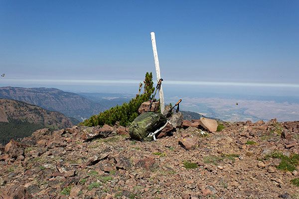
The summit was infested with flying ants and butterflies, but I saw no ladybugs. I searched for but did not find a summit registry.
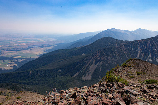
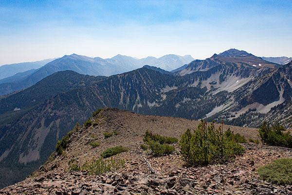
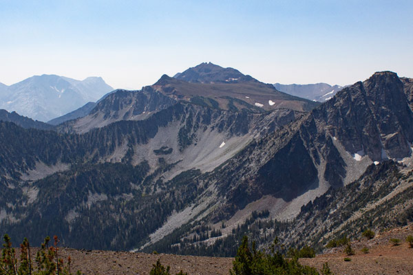
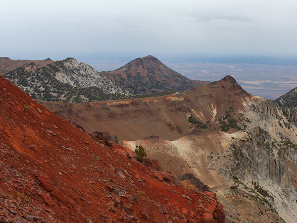
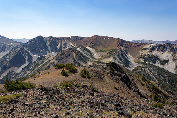
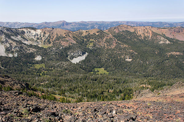
The sky was quite hazy with smoke, but many peaks in the Wallowa Mountains were visible. I enjoyed identifying some I had visited, some I hoped yet to visit, and others I did not expect to ever visit. The Eagle Cap Wilderness is huge and I sadly don’t expect to complete the list of Oregon’s 100 highest peaks.
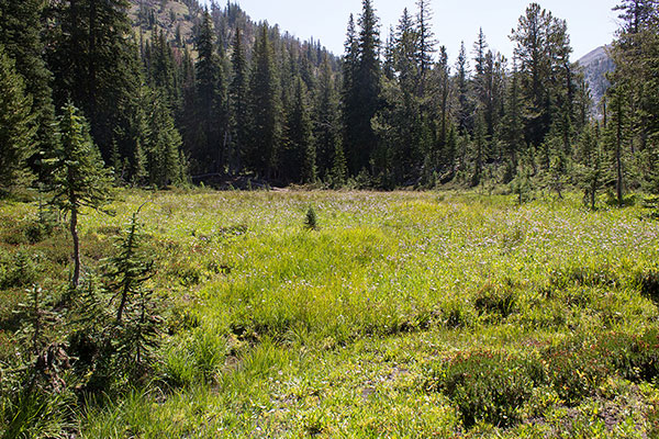
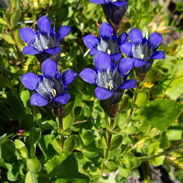
I descended a short distance to get away from the flying ants, rested, and ate lunch. It was soon time to leave and I descended the same way back to the Silver Creek Basin. In the basin I paused in a meadow to enjoy the wildflowers.
I continued through the forest, followed the Silver Creek Ditch, and descended the Old Murray Saddle Trail to my Jeep, then returned to the Baker Valley. It had been a hot day but I was happy with my success. I hope to return soon to climb nearby Chief Joseph Mountain, the 12th highest peak in Oregon.

Leave a Reply