On Thursday, January 27, I visited the Santa Rita Mountains south of Tucson. Specifically I explored the northern extension of the Santa Rita Mountains that leads towards Mount Fagan. Here a ridge of little peaks has over 1000 feet of topographic prominence. However, it is not obvious from maps which peak is the highest and therefore gets the coveted prominence.
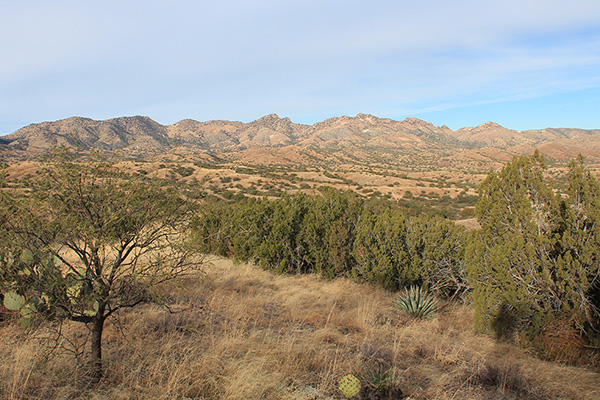
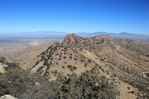
There seemed to be three candidate peaks. On the latest topographic map Weigles Butte has a surveyed elevation of 6284 feet. An unnamed peak about a mile south of Weigles Butte has a surveyed elevation of 6290 feet (“Santa Rita Peak 6290”). Between these two is another unnamed peak, without a surveyed elevation, but with a contour interval indicating it has at least 6280 feet (“Santa Rita Peak 6280+”). The current consensus amongst peakbaggers is that Peak 6280+ is the highest. Matthias had recently climbed this peak and thought the same. This ridge is quite visible from our bicycling routes on the east side of Tucson. So I decided to visit these peaks to decide for myself.
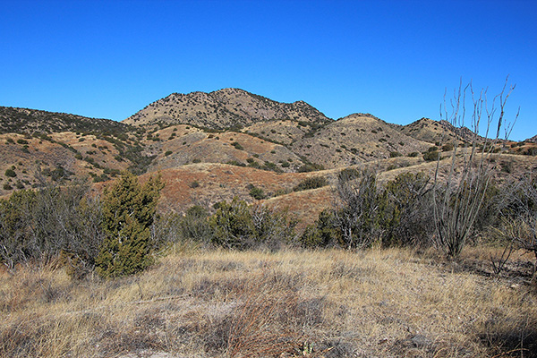
I drove in west towards Madera Canyon from Arizona Highway 83 north of Sonoita. Linda and I had determined this was the best route in while exploring a week earlier. I turned north onto rutted forest road 231 and reached a good parking spot south of the ridge. I could have driven another half mile further on another narrow road, but I decided it was going to be a short enough day that I could hike a little more.
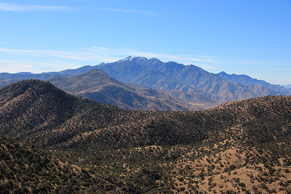
I parked and hiked up the narrow road to a saddle southeast of Peak 6290. From here I climbed an open slope to the ridge above me, then followed a rocky and brushy ridge to the summit of Peak 6290. It was a clear day and I had nice views in all directions, especially of the Santa Rita Mountains extending to the southwest.
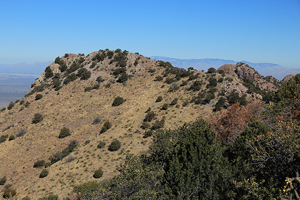
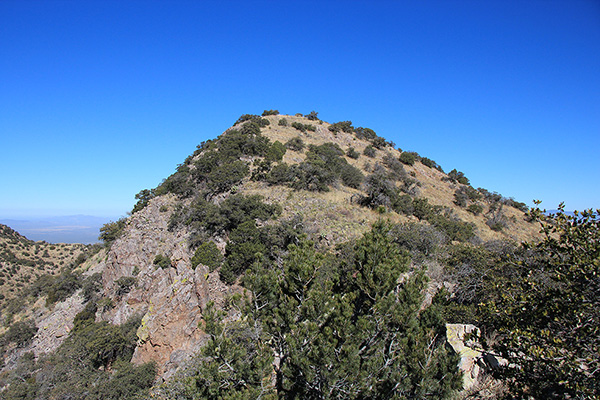
It seemed obvious to me that Peak 6280+, the next peak to my north, was higher than Peak 6290. So I descended through brush to the intervening saddle and climbed another rocky ridge to the summit of Peak 6280+.
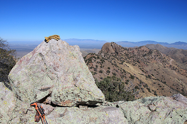
Yes, Peak 6290 behind me was clearly lower than Peak 6280+. From this summit I could also see Weigles Butte to my north. I eventually decided that Santa Rita Peak 6280+ was also higher than Weigles Butte, and therefore claimed 1080 feet of “clean” prominence.
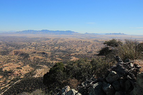
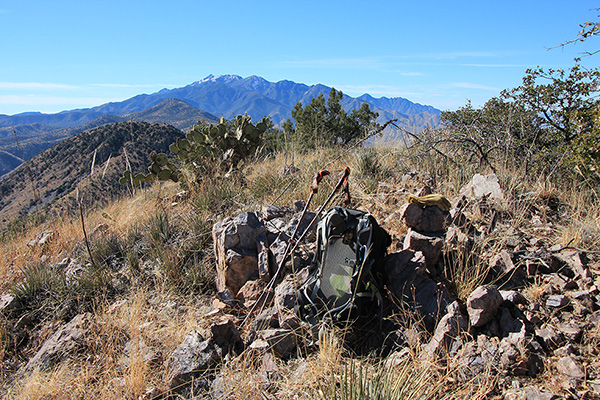
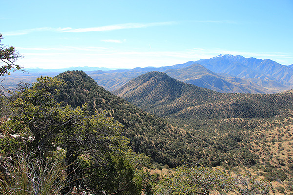
I found the summit registry and added my entry after Matthias’s entry. I had lunch, texted my status and a photo to Linda, and enjoyed the views of many mountain ranges and peaks around me.
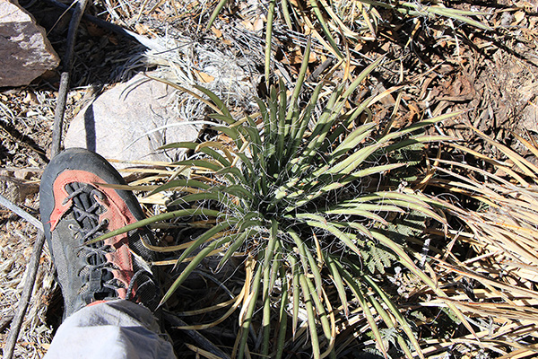
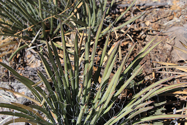
Eventually I packed up and descended back to the saddle over rock and patches of “shindaggers”. With the help of iNaturalist.org I identified these plants as Schott’s Century Plant (Agave schottii var. schottii). I was glad to wear mountaineering boots.
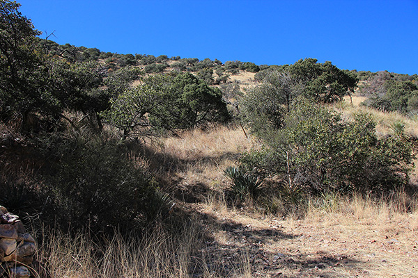
From the saddle I descended a more direct route back towards my Jeep down a slope covered with dry grass hiding loose rocks and little cacti. Soon I regained the Jeep trail and returned to my Jeep. It had been a short but fun outing. Perhaps I will return to the area someday to climb rocky Weigles Butte.

Leave a Reply