On Wednesday, April 15, Linda and I camped at the Whitewater Draw Wildlife Area north of Douglas, Arizona. We had the camping area to ourselves. It was not the season for Sandhill Cranes, but we enjoyed walking between ponds listening to the Yellow-headed Blackbirds, seeing Snowy Egrets, and watching the frogs watching us from the edge of the ponds.
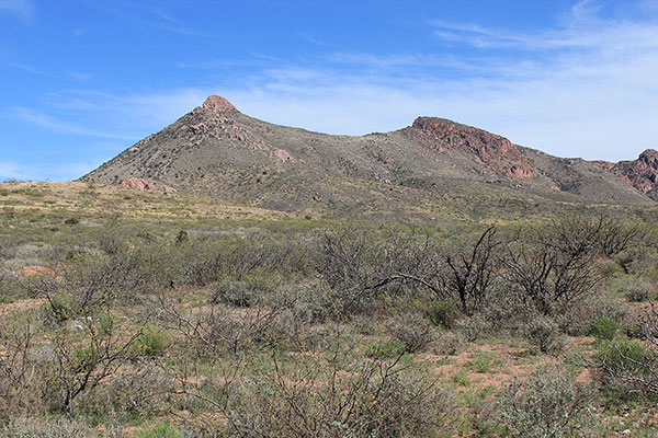
My goal the next day was to climb South College Peak, the highpoint of the Perilla Mountains of SE Arizona. That morning I drove east from the town of Douglas on Arizona Highway 80 and found an access road that led to the north side of College Peaks. I parked on a primitive road leading towards the peaks.
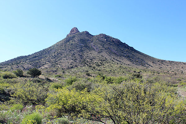
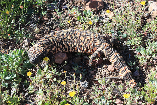
I walked the road towards North College Peak, then left the road aiming for the steep north ridge. On the way I was pleased to spot a Gila Monster that quietly watched me admire it and take many photos of it. This was only the third Gila Monster I had seen and it was an unexpected treat to start my hike.
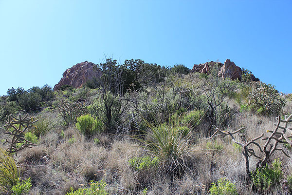
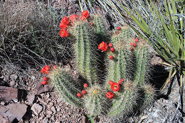
I continued south and climbed up the steep north ridge. Though the ridge was steep the footing was good and I made good progress. High on the ridge I admired some colorful Arizona Hedgehog Cactus flowers.
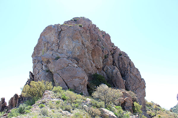
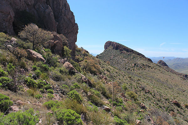
At the top of the ridge I passed North College Peak on its sheer west side. The south face appeared quite steep as well and I dropped the option of trying to climb that summit on the return. I continued south on the connecting ridge towards South College Peak, my destination.
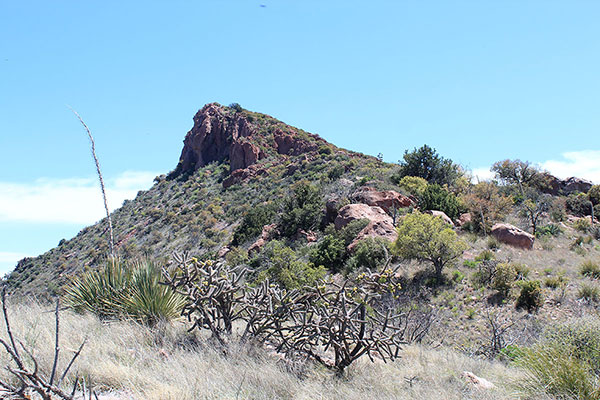
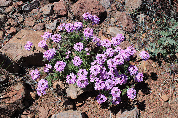
The traverse was going well and I expected to summit quickly. I paused to enjoy the views and and admire colorful flowers, cactus, and cholla.
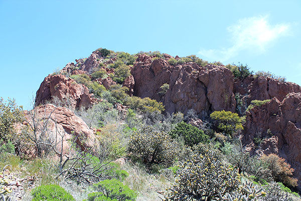
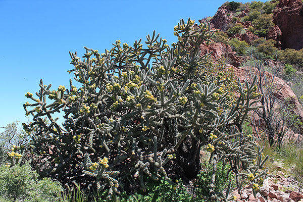
Higher, I discovered that a wide cliff band blocked the ridgeline leading to the summit. I did not want to descend to the west and fight thick brush and pine/juniper forest to regain the ridge above the cliffs. Fortunately, a ramp appeared to lead up on the left border of the cliff band and I decided to try it. As I climbed through trees up the ramp I discovered boot tracks and discarded clothing. It was a popular route. Above there some easy rock scrambling got me above the cliffs.
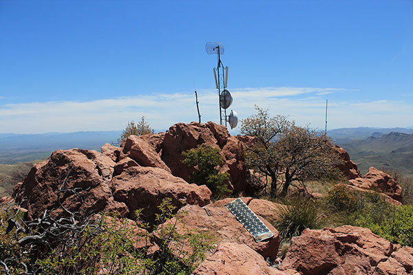
I followed below the upper summit ridge along its west side, bypassing some large rocks here and there, to near its south end. Here I found the summit rock rising beside a communication tower with a summit registry under some rocks. I added my name to many others in the summit registry.
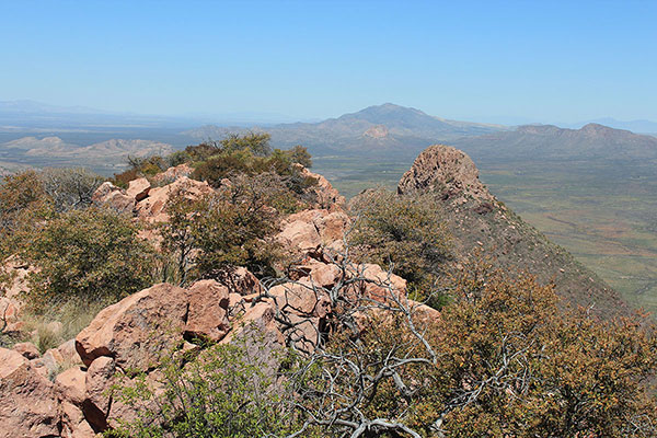
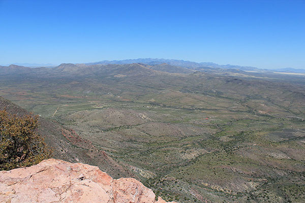
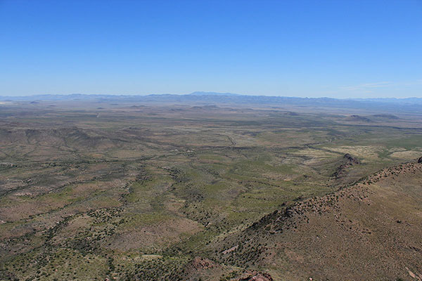
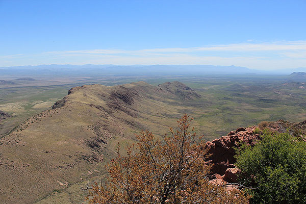
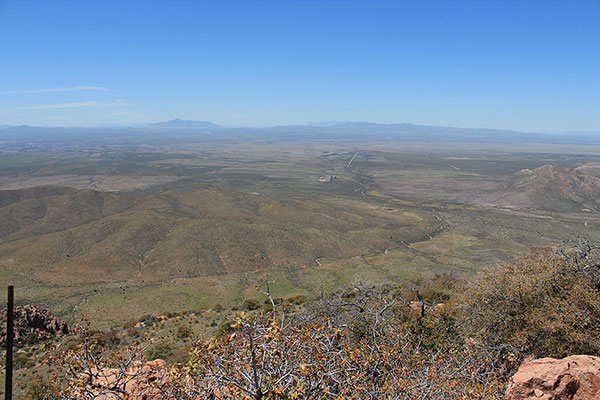
The air was clear and the summit views were nice. North College Peak, Swisshelm Mountain, the Pedregosa and Chiricahua Mountains lay to the north. The Peloncillo Mountains and New Mexico lay to the east. Mexico was nearby to the south. To the west were Sierra San Jose in Mexico and the Mule Mountains and Huachuca Mountains of Arizona.
I descended the same route to my Jeep and returned to our campsite at Whitewater Draw. We enjoyed another evening and night there, then returned to Tucson the next morning. We plan to return to Whitewater Draw Wildlife Area next winter to catch views of the Sandhill Cranes.
You may view my climbing route and statistics on peakbagger.com here.

Leave a Reply