On Saturday, February 16, Eric Kassan, Stacey Samuels, Adam Humphreys, and I hiked up South Mountain of Pima County west of Sells, Arizona. South Mountain has about 4160 feet of elevation and 2020 feet of topographic prominence, making it the 70th most prominent peak in Arizona. This was my second visit to South Mountain.
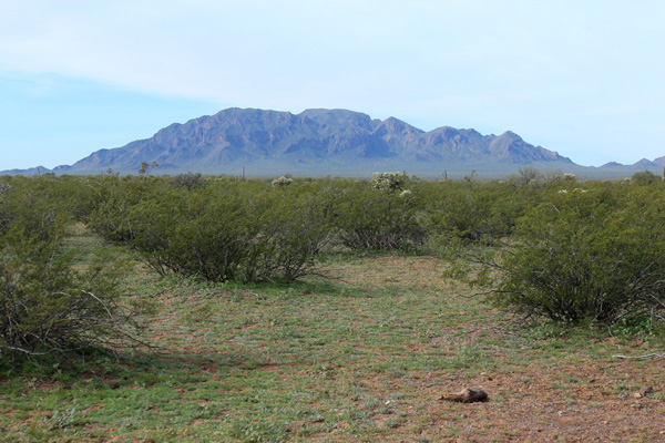
We met on Arizona Highway 86 and I led our drive in on primitive roads through a lush and green desert. On the way I spooked four jackrabbits at different points. I had last visited South Mountain in November 2017 and had driving notes from that drive. But I was surprised how a recently graded road then had become eroded in only two years.
We arrived near the trailhead below the cliffy east face of South Mountain. The road continued a short distance further but became rockier and steeper so we parked where it was convenient.
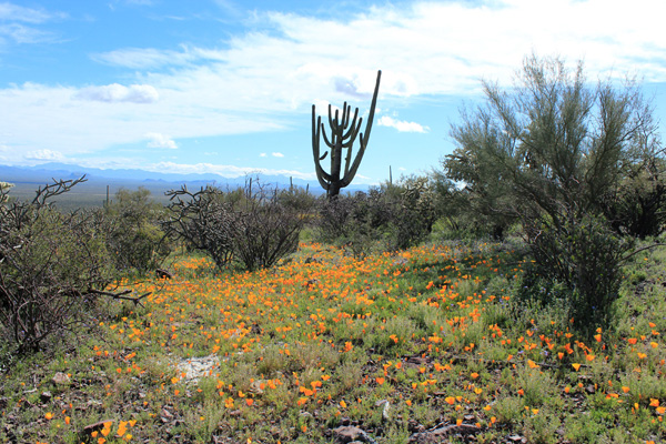
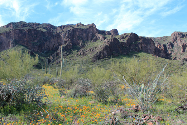
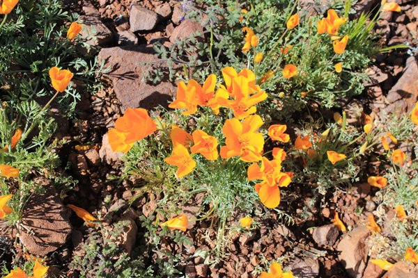
Patches of Mexican Poppies carpeted the desert slopes in the sunshine. The desert seemed cheerful with color and sunshine.
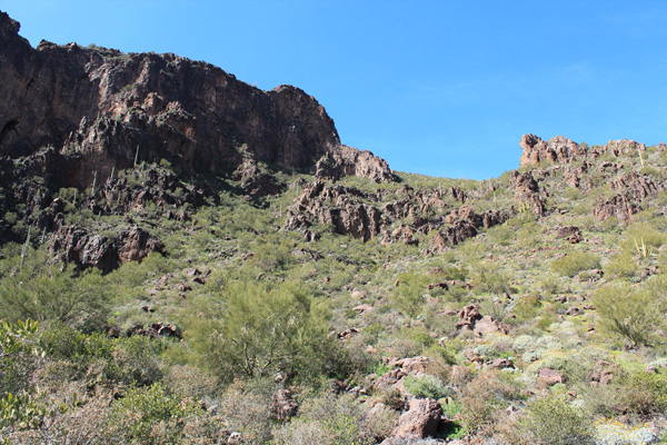
An unmaintained trail leads from there to a high saddle on the mountain, weaving through some rocky bands below cliffs. I don’t know the history of this trail, but a lot of work went into constructing it. The trail makes the hike much easier than a climb of South Mountain would otherwise be.

We passed the usual cacti on the hike but also encountered some Organ Pipe Cactus beside a rock band, apparently sheltered from the weather. It was a treat to see them again.
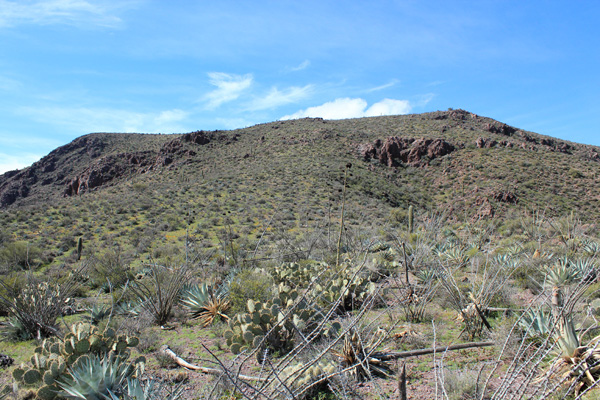
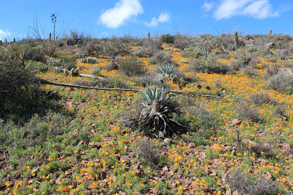
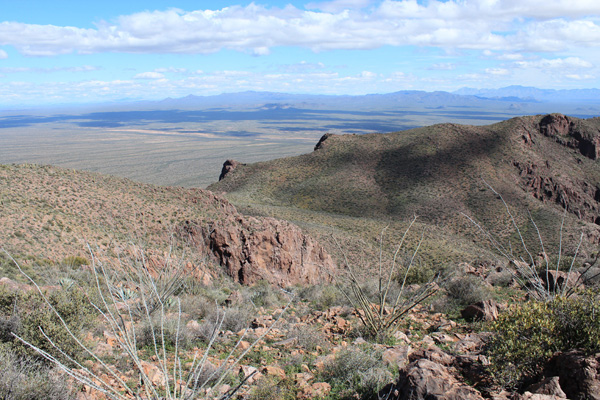
We reached the upper saddle where we left the trail and hiked up across open country to the summit. This section seemed to be a cactus garden with many different species of thorny plants. Higher we climbed over patches of color.
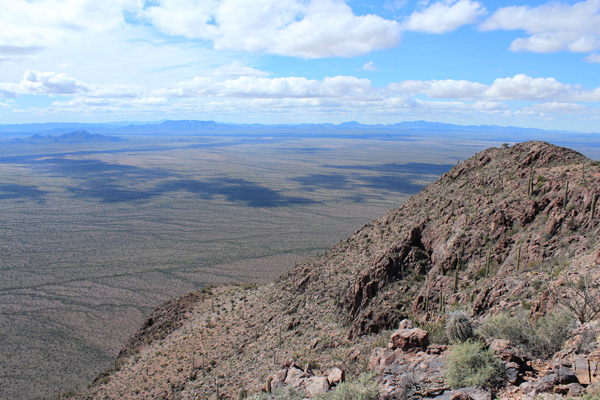
We signed into the summit registry, then walked about 100 yards south to find the South Mountain Benchmark. The Benchmark had better views of the mountains to the west, south, and east. To the southwest I viewed the Mesquite Mountains where I hope to join others to climb their highpoint, Mesquite Benchmark, next month. These mountains are remote and I will be glad to have friends and a second vehicle with me.
We returned to the summit and descended to the upper saddle. After a short search we found the trail and followed it back to our cars.
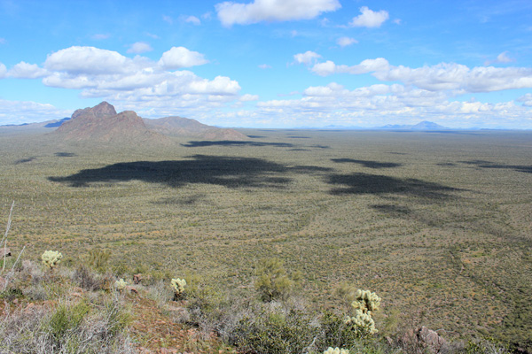
I enjoyed the views as we descended. Clouds cast shadows across the green desert below and I recognized many peaks rising nearby and afar. The weather was pleasant and I was glad to be able to share the mountain with Eric, Stacey, and Adam on their first visit.
We drove out to the highway and found a place for the night, planning another hike for Sunday.

Leave a Reply