On Monday, April 21, I climbed Perilla Benchmark and South Perilla High Point, both peaks in the Southern Perilla Mountains east of Douglas, Arizona. These peaks lie a short distance north of the USA/Mexico border wall. The South Perilla High Point caught my interest because it has 1286 feet of topographic prominence. On the way to it I also climbed over Perilla Benchmark.
That morning I drove from Tucson to Douglas. From Douglas I drove east on the Geronimo Trail. After a few miles I turned north on a primitive road and drove in towards the South Perilla Mountains. I decided to park before reaching the end of the road and hiked the rest of the road to a draw with a sandy wash at its bottom.
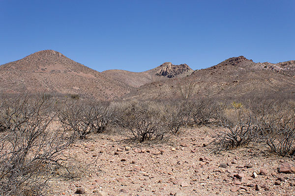
I followed the wash up the draw past an abandoned windmill and a filled-in dam. The draw opened up but the travel was still easier following the wash higher. At one point I scrambled over a dry waterfall. Eventually I climbed the slope up to my left to reach the southwest ridge.
From the southwest ridge I was able to see Perilla Benchmark and the South Perilla High Point for the first time on my hike. To reach them I hiked to a saddle on the south ridge.
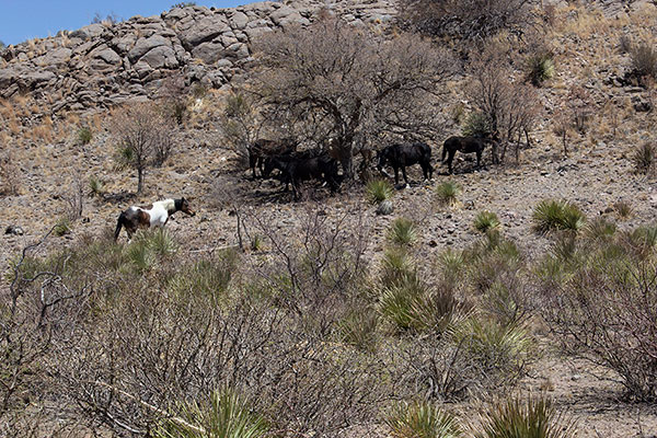
Here I found several horses. I had not crossed any fences or passed through any gates on my hike. I could see no source of water for them but there was evidence that they had been feeding on the saddle for several days or longer. Perhaps these were free-roaming horses from a nearby ranch.

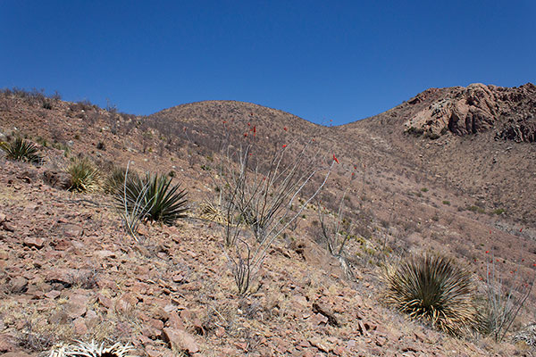
I continued north to reach Perilla Benchmark. The south slope displayed a broad talus slope between rock ridges. I chose to climb the talus slope and found the hint of a path leading up the slope. Higher, I scrambled over some rock and reached the summit.
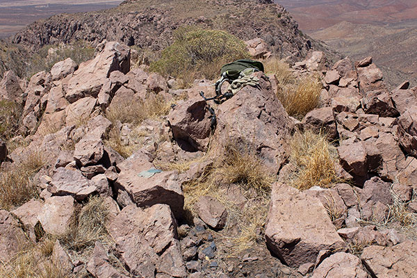
Here I found the PERILLA benchmark and added my name to the summit registry. This is a Southern Arizona Hiking Club peak and I recognized many names from visits over the past several years.

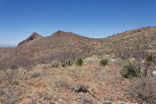
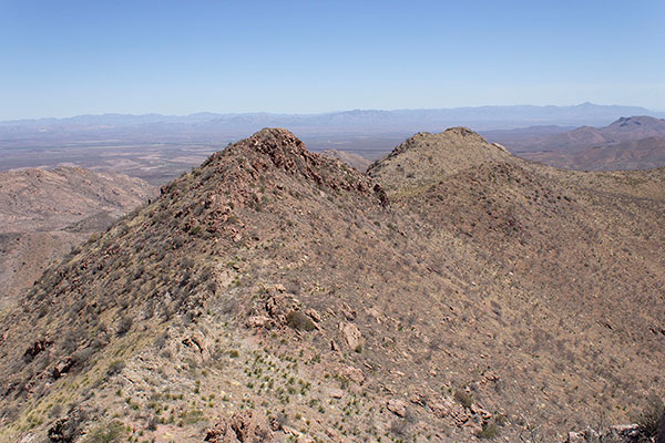
But I did not linger long, because the South Perilla High Point rose to the north and with its prominence it had higher priority for me.

I descended to the north, then approached the high point and chose my route up. This also included some loose talus but the route went quickly and soon I was at the South Perilla High Point.
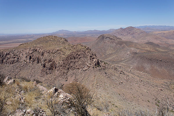
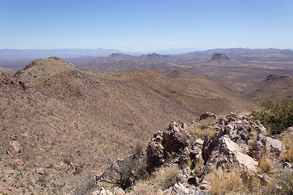
From this summit I recognized several peaks to the north, especially College Peaks and Swisshelm Mountain. The USA/Mexico border wall was visible to the south. Notable Cerro Gallardo in Sonora rose just beyond it.
I found a tiny summit registry in a plastic pill container. There were no SAHC entries, but I recognized other Arizona peakbagger names, most of whom I knew. I added my own name to the short list. It felt a little special.
On my return I decided to traverse around the west side of Perilla Benchmark, rather than climb over it again. The west side was steeper, looser, and brushier than I had expected, but it worked OK. The horses were still at the saddle as I passed over it.
The descent down the southwest ridge was tedious. The slopes were littered with loose rocks that would often try to roll under my boots. I took my time and descended slowly back to the sandy wash. I followed the wash back to the road, then followed the road back to my Jeep.
It had been a sunny and warm day and I was glad to have carried my usual supply of water. I stopped in Douglas to get a large soft drink to refresh myself. After a short stop for dinner in Benson I returned to Tucson. With these Southern Perilla peaks I completed this winter’s peakbagging for me in Southern Arizona.

Leave a Reply