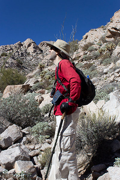
On Saturday, January 27, Michael Vincent and I visited the Tinajas Altas Mountains in southwest Arizona. This rugged mountain range lies within the Barry M. Goldwater Air Force Range (BMGR). Our goal was to climb the highpoint of Tinajas Altas Mountains. The highpoint has only 2764 feet of elevation, but has 1724 feet of prominence, making it the 103rd most prominent peak in Arizona. The rugged and rocky Tinajas Altas Mountains lie in a remote and quite arid portion of the Sonoran Desert, adding to the challenge. I was glad to have Michael, a competent desert mountaineer and Jeep owner who I have climbed with in the past, as a companion.
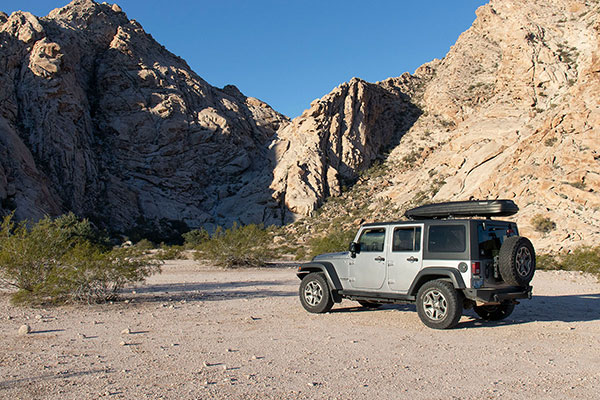
That morning I met Michael near the Tinajas Altas (“High Tanks”) parking area. The Tinajas Altas lie just west of El Camino Del Diablo, an important travel route for indigenous people, Spaniard explorers, and settlers/miners over the centuries.
The tanks lie in a steep, rocky gully and are natural catchments that collect seasonal water runoff. They have been an important water supply for travelers in this extremely arid region.
From there we caravanned to our parking spot for our climb. We stopped a few times to find our route at obscure junctions and along sometimes tenuous roads. I was glad to be recording our driving track on my GPS to ensure we could find our way out afterwards.
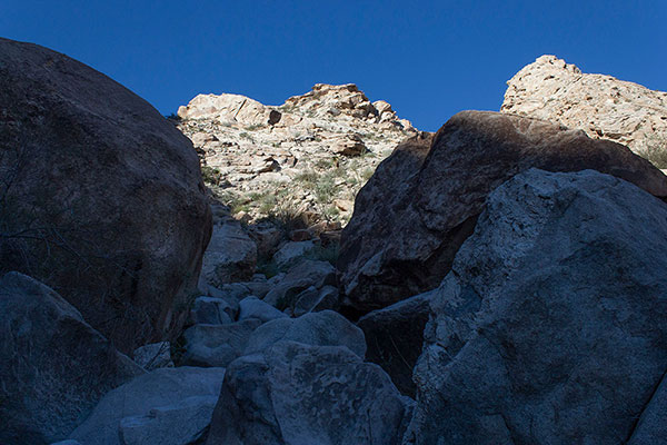
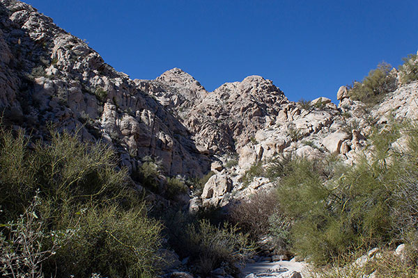
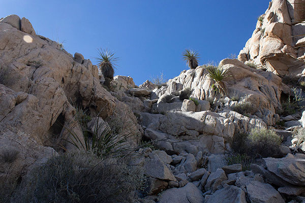
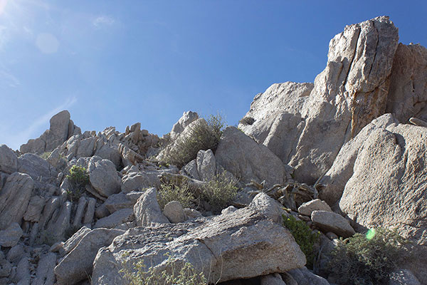
We had descriptions and GPS tracks of our route from previous climbers. The tracks allowed us to identify our ascent canyon to the west of our parking spot. After a short hike across the desert we entered the canyon. Immediately, we found large boulders and started boulder hopping what we could and skirting around larger rocks.
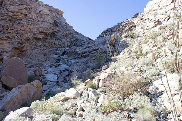
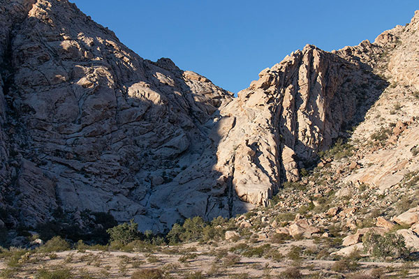
Soon we saw our first “dry waterfall”, a series of cliffs over which water flows when there is any. We decided to skirt the cliffs on the left and that route worked for us. I tried to remember how we would descend the route on our return.
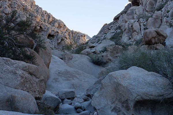
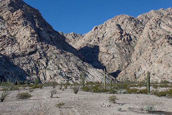
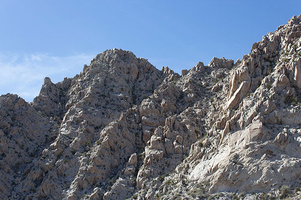
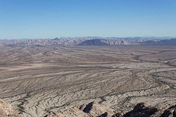
From there we entered the narrow canyon and climbed up the rocky canyon floor. Eventually high peaks appeared ahead. I doubted any were our highpoint destination.
We encountered several catchments (tinaja) full of water, most of which were easy to skirt. However, one in particular was large, deep, and fully filled. I climbed a moderate wall to the right while Michael climbed and traversed a narrow ledge to the left. Afterwards, I decided I would take his route on the descent rather than risk downclimbing the wall.
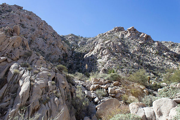
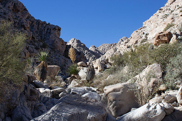
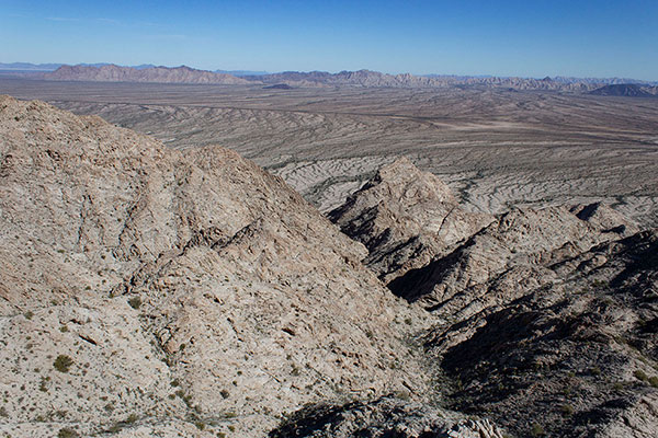
Our ascent canyon forked higher and we took the right tributary canyon. The left canyon was much steeper to begin with and reportedly difficult to descend. Higher, we left the right canyon and climbed a steep slope to a ridge high above us.
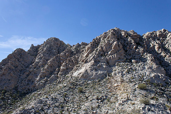
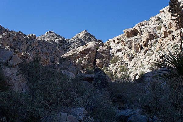
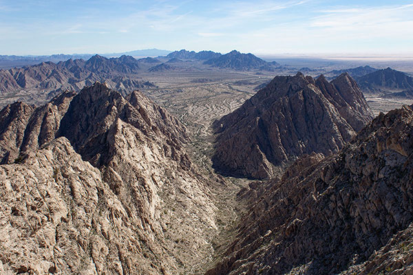
Finally, we could see our destination, the highpoint of the Tinajas Altas Mountains. The route up to the summit looked quite steep and complex.
We hiked over to a steep and rocky gully, which we climbed to near its top. Here was a notch, but we were warned not to pass through the notch, but instead look for a ledge leading left across cliffs.
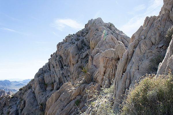
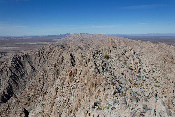
The ledge was easy to find. It was wide enough and required easy climbing on firm rock. From the end of the ledge we climbed a short distance up on firm rock to the summit. Overall, our route had only required class 3 climbing.

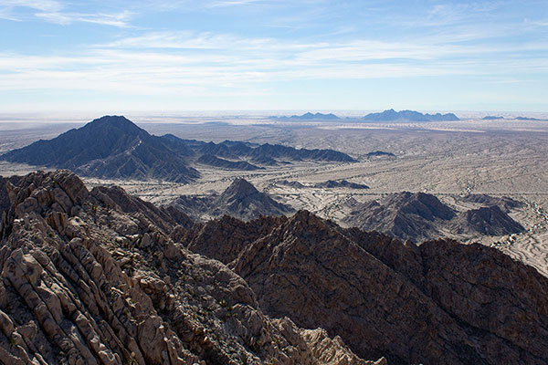
The summit was wide enough for us to relax over lunch. We read and signed the summit registry, found an unnamed benchmark, and identified many desert mountain ranges around us.
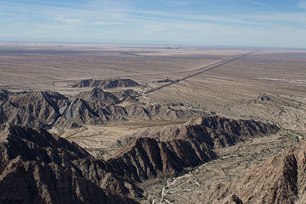
The US/Mexico border wall stretched out below us to the southeast and west. The border wall was unfinished where the border crossed mountains below us to the south. The skies were fairly clear and Michael tried to identify the Gulf of California (Sea of Cortés) about 50 miles to the south. We could see a dark band in the distance and mountains of Baja California further on, so perhaps we succeeded.
To the east I recognized the Cabeza Prieta Mountains and the Sierra Pinta beyond. Matthias Stender and I climbed Cabeza Benchmark, the highpoint of the Cabeza Prieta Mountains, in January 2019. That had been during my last visit to the BMGR. I joined Eric Kassan and several other peakbaggers to climb Pinta Benchmark, the highpoint of the Sierra Pinta, in February 2018.
We took the same route on our descent. Michael and I helped each other climb onto and cross the narrow ledge around the large filled tinaja. From there we continued descending to the high dry waterfall. Here we started our descent down and around cliffs, but I missed a turn and took us to a dead end. Eventually we found the correct exit down to the canyon floor below the waterfall. From there is was a more relaxed and celebratory hike back to our cars.

Leave a Reply