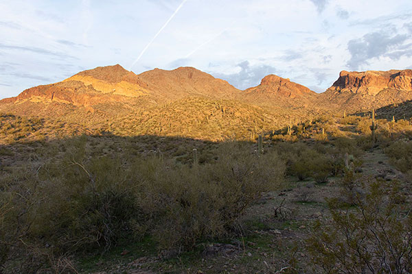
On Sunday, February 25, I climbed the highpoint of a triplet of peaks named Tres Alamos (“The Three Cottonwoods”), northwest of Wickenburg, Arizona. Tres Alamos lies in the Black Mountains. Unofficially named Sawyer Peak is the highest peak of the triplet and is also the highpoint of the Black Mountains. Sawyer Peak has 1473 feet of topographic prominence, making it the 161st most prominent peak in Arizona.
I had driven in from US Highway 93 the previous afternoon after climbing Arrastra Mountain with Scott Peavy. It was an easy drive in and I found a nice campsite with an unobstructed view of Tres Alamos. It was a pleasant evening and night in remote country.
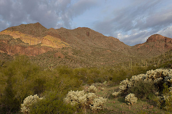
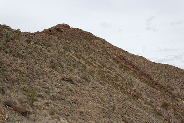
Sunday morning was cloudy, but occasionally the sun broke free of the clouds and I was hopeful the skies would clear later in the day. I followed the remainder of the primitive road to the base of the triplet of peaks and started climbing the east slope of Sawyer Peak, the highest of the triplet.
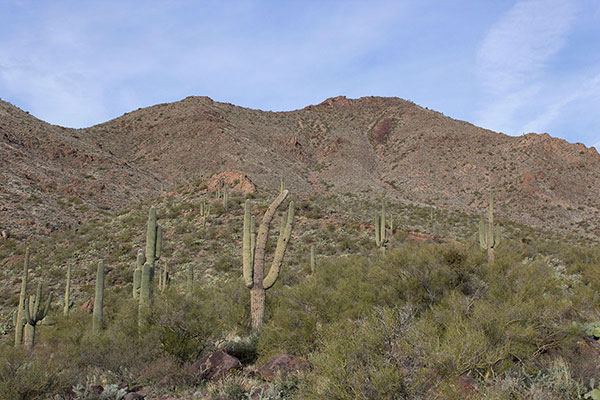
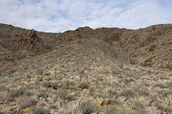
The lower slope contained many varieties of cacti and thorny brush, but I was able to weave between them as I climbed. The slope steepened more the higher I climbed. Loose rocks covered the ground. But while climbing I could find good foot placements and I climbed securely. I noted the slope to my left beyond a drainage was less steep. Perhaps I might choose that as my descent route.
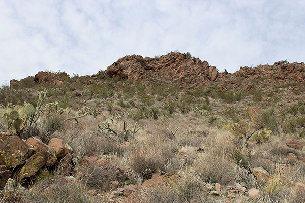

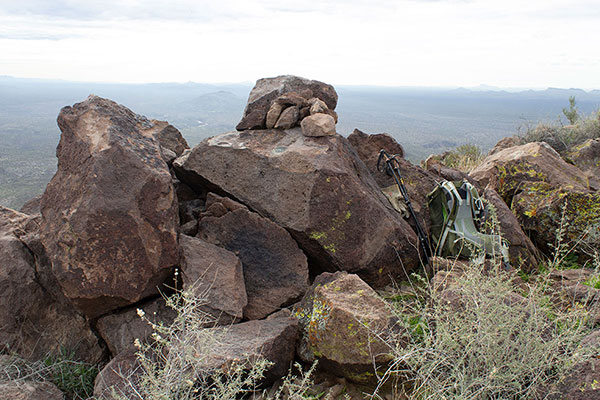
I climbed to cliffs just below the summit. I found a passage to the left over a short step and carefully squeezed between cacti. Soon I reached the rocky summit area and determined the highest point. Here I found the SAWYER Benchmark and a summit registry.
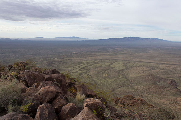
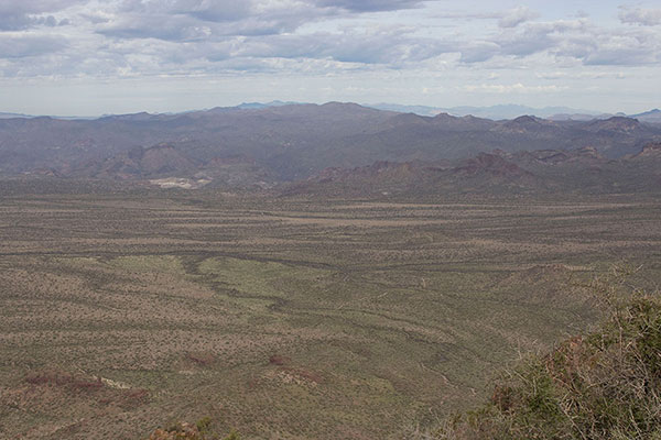
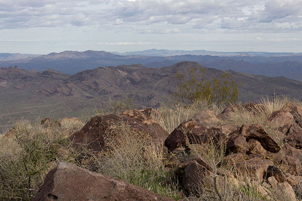
I enjoyed reading the registry entries, added my own, and ate my lunch. I scanned the horizon and tried to identify as many ranges and peaks as I could. After lingering on the summit for 45 minutes I started my descent.
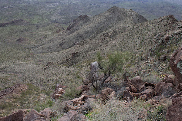
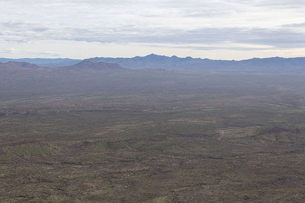
Knowing how loose my ascent route had been I decided to descend the less steep slope I had identified earlier. I’m sure it was an easier descent route, but I still needed to be careful about my foot placement as rocks would often shift under me unpredictably. The descent was tedious, but I eventually reached less steep and firmer slopes lower.
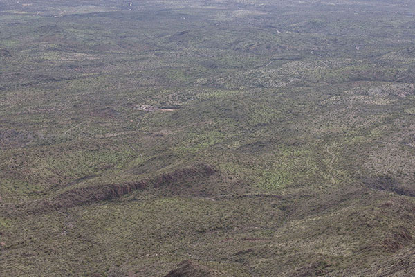
At one point I stooped to pass under a palo verde and carelessly caught my boots on low limbs. I fell hard on rocks but was only scratched and bruised. I must have been more tired than I realized. From there I more carefully weaved my way around many thorny plants to reach the road end. I rested one more time and then returned to my Jeep.
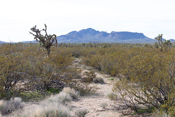
Back at my Jeep I cleaned up a bit, changed clothes, and rehydrated. On the drive out I paused to photograph Joshua Trees beside the road. Once back to the highway I chose an alternative driving route to Tucson avoiding the likely congestion around Wickenburg and through Phoenix. Even so, I was nearly rear ended on I-10 in busy traffic. The adventure does not end until one is home safely.

Leave a Reply