On Saturday, July 25, I climbed Twin Mountain in the Elkhorn Mountains northwest of Baker City. Twin Mountain is one of “Oregon’s 100 Highest Peaks“, a list first published by Jeff Howbert in the May 1996 issue of Pack & Paddle magazine. Peaks on his list have at least 500 feet of “clean” prominence (rising at least 500 feet above any saddle connecting it to anything higher). I know of three people who have climbed all 100 peaks, Pam Otley, Jay Avery, and Troy Baker.
The High Cascades include many of Oregon’s highest peaks. These fueled my original interest in climbing and I focused on them for many years. In 2007 I started working on my remaining Oregon’s 100 Highest Peaks, making slow but steady progress on these peaks over several years. Thirteen of the 100 peaks lie in the Elkhorn Mountains northwest of Baker City; as of 2015 I had climbed twelve of them. The last one, Twin Mountain, rebuffed my exploratory 2015 attempt due to difficult access. Since then it had been easy to defer returning to try again as I became distracted by Oregon’s prominence peaks. It was finally time to return.
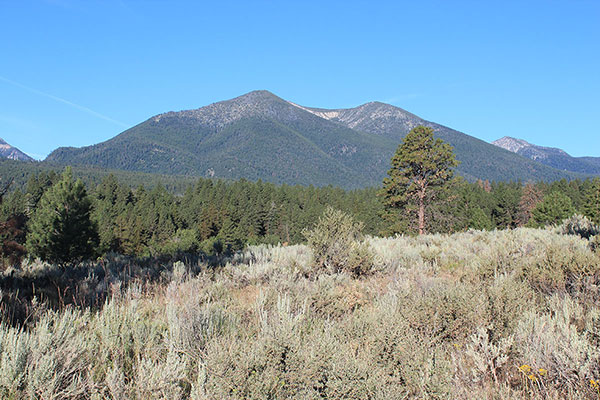
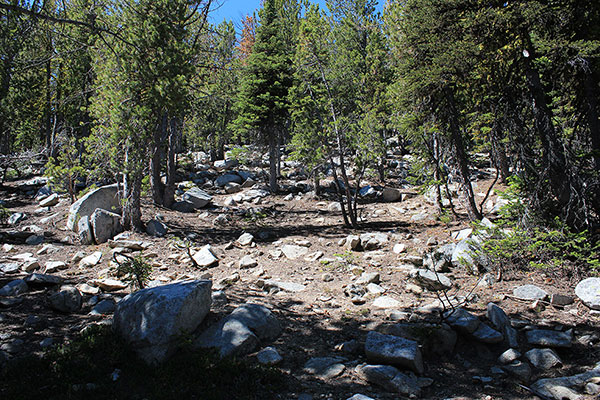
Saturday morning, July 15, I leave our Baker Valley property and drive the primitive Bulger Flat Lane towards Twin Mountain. I park beside the road below Twin Mountain’s heavily forested east ridge. From there I hike an abandoned road that leads a short distance up the ridge, then plunge into the heavy forest.
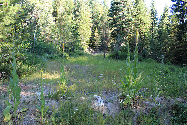
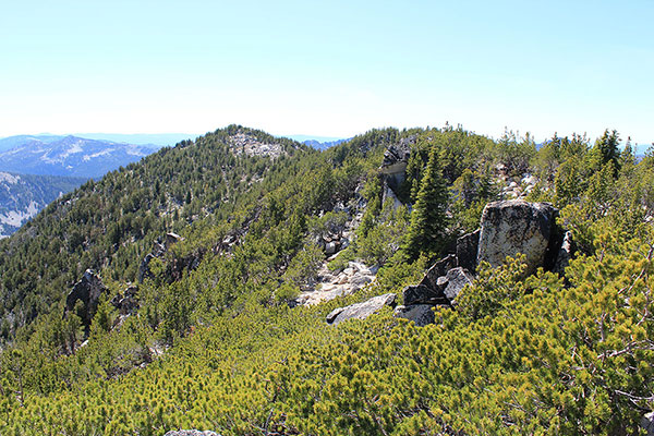
As I climb I make use of game trails where I can and try to stay near the ridgeline to minimize the steepness. After about 2000 feet of climbing the forest opens up and the climb becomes more pleasant.
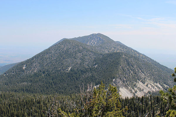
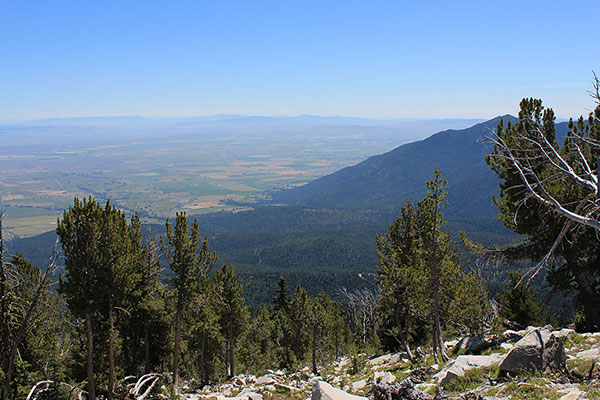
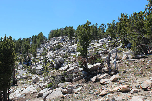
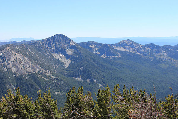
I eventually reach the summit of the subsidiary Peak 8566. Here is a cairn and a summit registry with several entries by elk hunters over recent years. The Baker Valley and Baker City lie below me to the southeast. To the west rise the summit peaks of Twin Mountain.
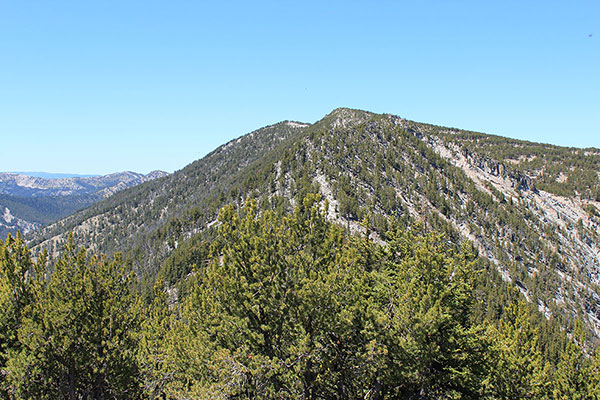
From Peak 8566 I plan to follow the summit ridgeline west towards the summit of Twin Mountain a little over a mile away. I descend to a saddle, then climb west to the next peak on the ridgeline. Here steep rock gendarmes guard the ridge. These force me to traverse lower to the south over talus, between and beneath rock blocks and towers, slowing my progress.
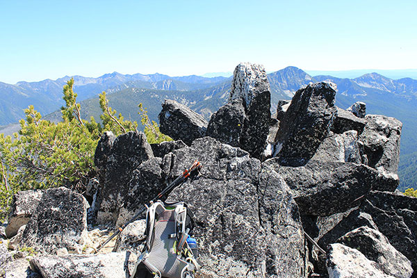
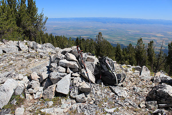
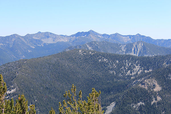
The next peak on the ridge, Powder Benchmark, has an open summit and good views. Powder Benchmark at 8896 feet of elevation is officially only 1 foot lower than the summit. I was sure to claim this point in case of future USGS revisions.
The summit of Twin Mountain still seems distant and it is later than I planned, but I am committed to summit. I notice a tempting open slope leading down from the Twin Mountain summit towards the North Powder River. I had hiked below years ago on my climb of nearby Red Mountain and I debate using that open slope as a possibly faster descent route.
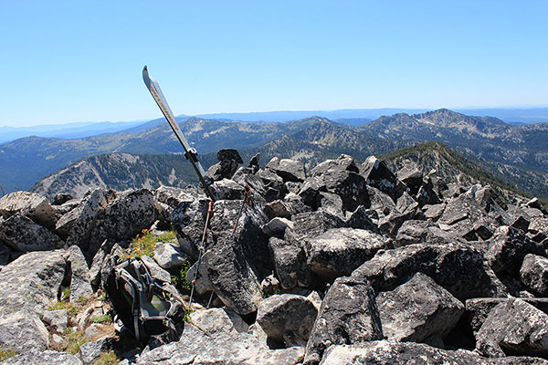
Fortunately, the last ridgeline hike is open and easy to travel. I finally arrive much later than expected on the summit of Twin Mountain (8897 feet) where I rest, eat lunch, and enjoy reading and signing the registry.
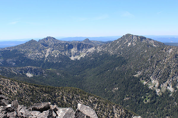
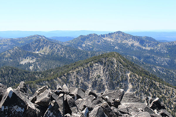
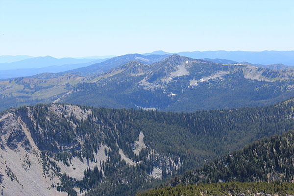
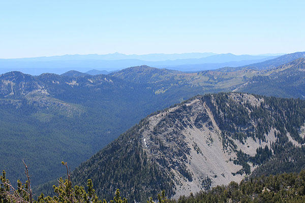
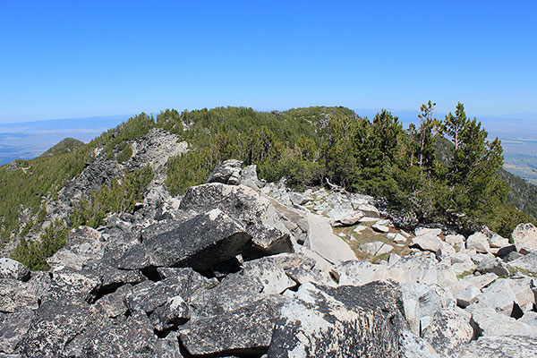
I savor my success and views and take many photos of familiar peaks, around me in the Elkhorn Mountains and beyond. I identify several more Elkhorn peaks yet to visit.
After more thought I decide not to use the south slope as a descent route, favoring the devil I knew to the one I do not. Instead, I descend my ascent route, the east ridge, taking a more direct path where I can.
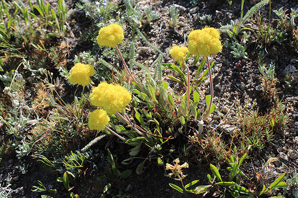
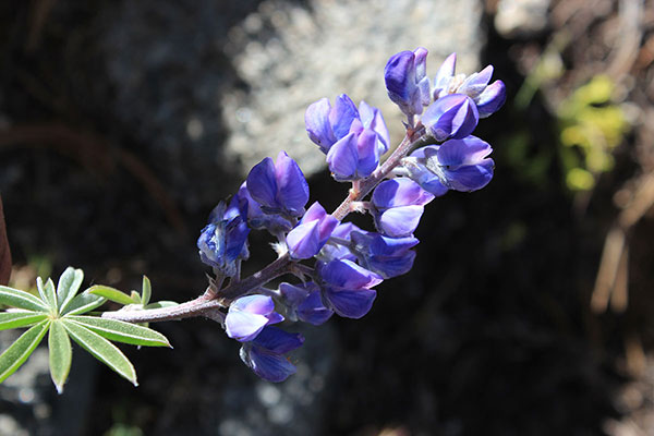
In spite of the lateness I take a few minutes as I descend high on the east ridge to photograph some wildflowers. I’ll try to identify them later. I gratefully return to my Jeep and drive back to our Baker Valley property to have a late dinner with Linda.
It was a scenic day in the Elkhorn Mountains and I savored my success on Twin Mountain. I have 23 more “Oregon 100 Highest Peaks” yet to visit. They all lie in the Wallowa Mountains in the Northeast corner of Oregon.

Leave a Reply