The Vekol Mountains are a small and rarely visited Sonoran Desert mountain range about 30 miles southwest of Casa Grande, Arizona. I have had distant glimpses of the Vekol Mountains from other mountain summits in recent years, but my best view of them was from Jack Benchmark, the highpoint of the Tat Momoli Mountains, in January.
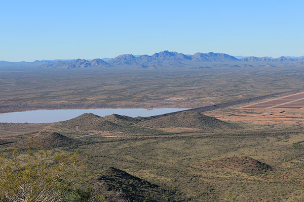
My peakbagging friends and I have wanted to climb the highpoint of the Vekol Mountains, but the range remoteness, lack of information about road access, and mystery discouraged any solo attempts. I had been unable to join my friends on climbs earlier this winter season. So when I heard they planned an attempt on the highpoint of the Vekol Mountains when I was available I eagerly joined them.
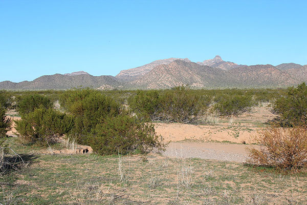
We researched primitive roads on maps and satellite views and identified a potential primitive road that would place us just below the south slopes and provide access to a direct route into the range. We saw a wide wash to cross where the road was difficult to follow. The access road seemed to have some eroded spots closer in, but we were hopeful we could get close enough to make it a moderate day of climbing.
I met my friends, Matthias S., Michael V., Scott P. and Scott S., a few miles west of Arizona City early Saturday, February 1. We looked for our access road as we drove in and beside shallow washes and squeezed through scraping brush. We eventually discovered our indistinct road access was blocked by a deep, steep-walled wash that extended far to our left and right. Our hike would start from that spot; it would be a longer day than planned.
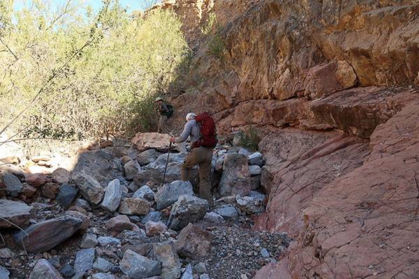
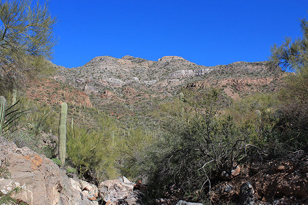
We climbed in and out of the steep wash, crossed a shallow but much wider wash beyond, found a decent road heading in our direction, and followed it to a rocky wash leading below steep ridges towards the south face of the mountains.
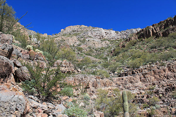
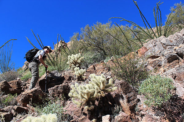
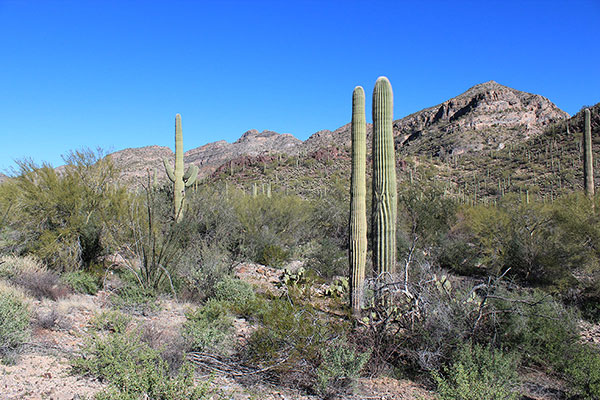
Once below the south face we decided to climb somewhat directly towards what appeared to be the range highpoint above. Our route led us upslope over low cliffs, worked around higher cliff bands and up through talus slopes. The footing was not too bad and we made good progress.
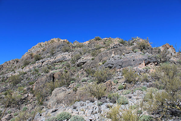
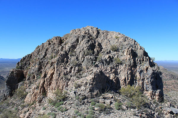
Eventually we topped out above the south face onto a ridge leading towards the summit. Matthias was leading the way and reached the top first. It was a false summit. From there a steep drop to a saddle and a final rock scramble led to the true summit.
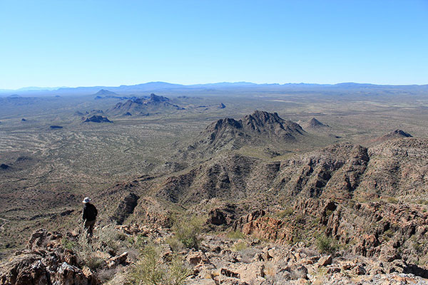
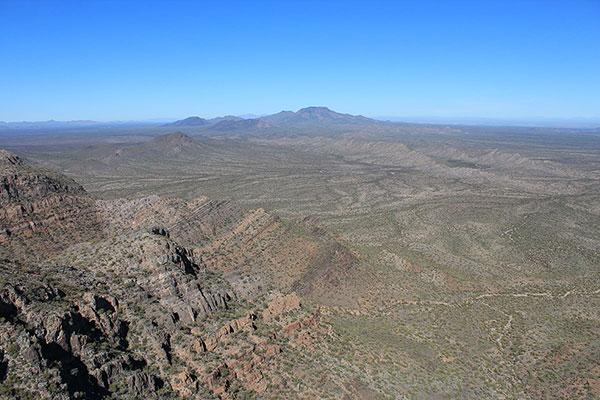
We relaxed and had lunch on the summit. The air was relatively clear from haze, the wind calm, and the temperatures pleasant. We were surrounded by many nearby peaks and mountain ranges and more prominent ones in the distance. I enjoyed identifying familiar peaks from a different perspective, including Cimarron Peak to the west and Table Top to the north.
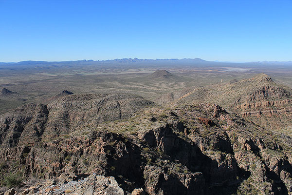
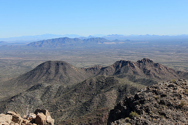
I recognized the Ajo Range 50 miles to the southwest and Pinal Peak 90 miles to the northeast. With help from my friends I identified future peaks and ranges to visit. I noted in particular the Sauceda, Sand Tank, Sheridan, Cimarron, and Slate Mountains, all ranges I have yet to visit.
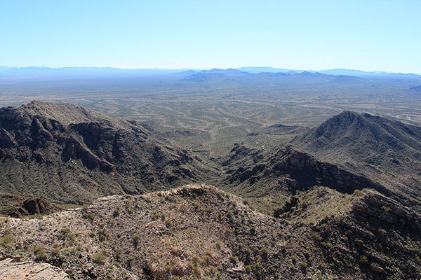
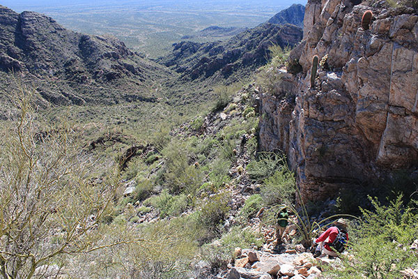
Matthias left an improvised “summit register” for future visitors. It was time to start our descent. We descended the same route down. The footing seemed looser on the descent and teddy bear cholla repeatedly ambushed us as we passed by distracted by our footing. Otherwise the descent went well and we returned to the wash and the road with minor mishaps.
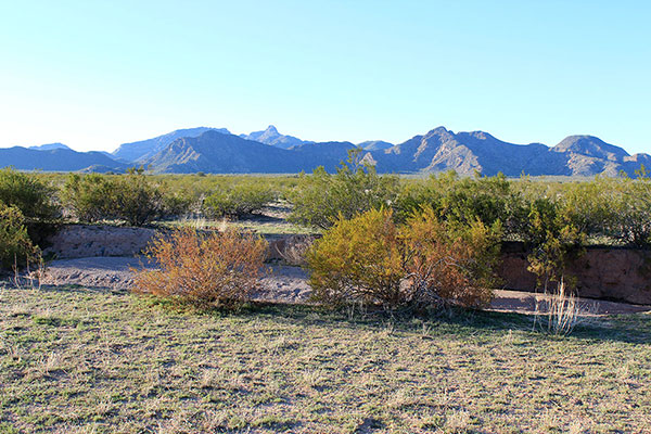
I visited with my friends as we hiked the road and that seemed to make the hike out go quickly, reaching our cars about 45 minutes before sunset.

My name is Bobby I’m interested in visiting the old ghost town of Vekol also I would like to know whereabouts is John D Walkers house and ranch are I’ve driven my Jeep all over Vekol Valley but can’t find it please help me
Bobby, I have never visited the Vekol ghost town or John D. Walkers house, and don’t know where they are. Good luck on your search.