On Monday, March 20, I hiked to the summit of Webster Mountain, the highpoint of the Salt River Mountains, a few miles northwest of Globe, Arizona. Webster Mountain has 1519 feet of topographic prominence, making it the 150th most prominent peak in Arizona. It lies in the Arizona Transition Zone, a physiographic region of Arizona separating the Colorado Plateau to the north and east and Arizona’s Basin and Range to the south and west.
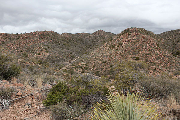
Most of the hike was on a primitive road, sometimes quite eroded, sometimes in good shape, and sometimes a rocky path.
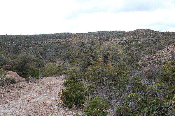
I was grateful for the road because the slopes around me were densely covered in thorny brush and my destination was out of view beyond subsidiary ridges. I doubt I would have taken this route if it had not been for the very helpful road.
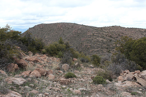
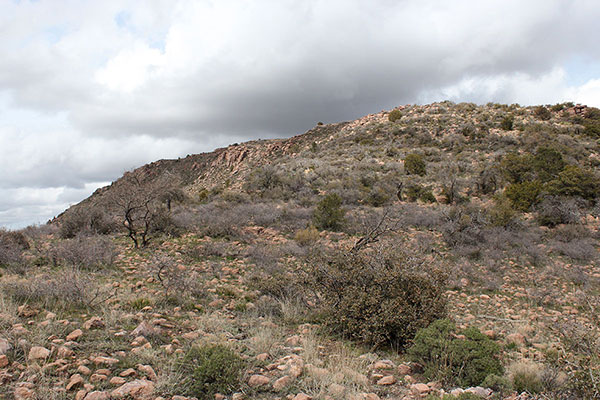
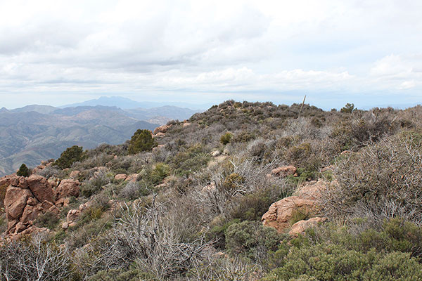
After several miles I arrived at a high saddle and got my first view of Webster Mountain. From here the ridge I expected to hike looked fairly open.
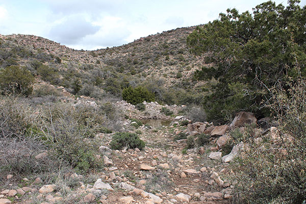
The very rocky road then descended a steep slope and ended in a watering hole.
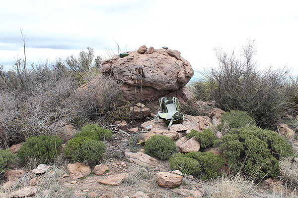
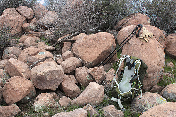
From near the watering hole I hiked up a gentle slope around and through moderate brush to the apparent well-marked summit. The skies were overcast with a chance of rain, but none fell. I added my name to the summit registry. I found several of my climbing friends had visited before.
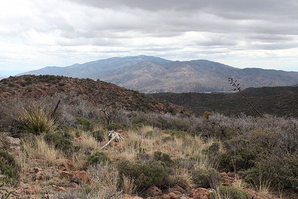
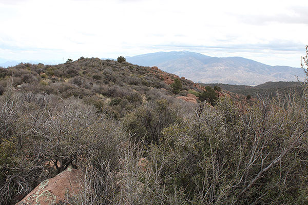
Although the lighting was poor I enjoyed views of surrounding prominent peaks that I have visited with friends, family, or on my own over the past 9 years. Pinal Peak rose prominently to the southeast. Linda, Mary, and I drove up Pinal Peak in March 2014. It was on one of our first visits to the mountains of Arizona.
To the north was Aztec Peak, which I hiked in April 2016. I remember a pleasant hike through forest to its broad summit with distant views of the snowy White Mountains.
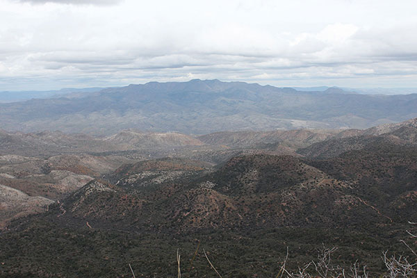
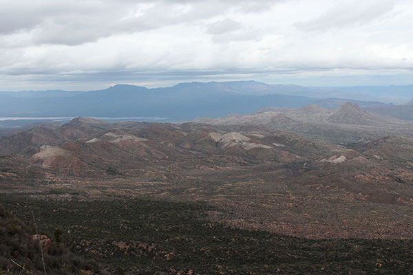
Apache Peaks lay to the northeast. I climbed Apache Peaks in March 2017 with the Las Vegas Mountaineering Club. That was part of a memorable weekend climbing trip, having climbed Pinnacle Ridge the day before.
Finally, to the northwest, I recognized Browns Peak. I climbed Browns Peak in December 2017 with the Southern Arizona Climbing Club. I remember a fun climb up a steep gully on clean rock. It was satisfying to reflect on how much of Arizona I have explored over these past 9 years and the adventures I have shared with others.
Before returning I walked a short distance to the WEBSTER benchmark in case it might be higher. From there I was sure it was not.
I retraced my route back over the summit and down to the road. I followed the road back to my Jeep and returned to Tucson. It had been a pleasant hike with the mountain to myself.

Leave a Reply