On Saturday, April 4, I left Tucson for a few days to visit three Arizona prominence peaks. After climbing Buckskin Benchmark on Sunday and the Date Creek Mountains highpoint on Monday, I drove onto the Agua Fria National Monument Monday afternoon and found a secluded camping spot a quarter mile from the dusty and busy Bloody Basin Road. I spend another pleasant evening and night there.
The next morning, Tuesday, I continued driving east on the dirt Bloody Basin Road towards my next and last destination for this trip, West Cedar Mountain. West Cedar Mountain has 1769 feet of topographic prominence and 5489 feet of elevation. It lies to the west of the Mazatzal Mountains across the Wild and Scenic Verde River, and has been on my “Wish List” for several years. I expected the hike, itself, to be fairly short, but two friends had previously hiked the peak and they reported a lot of thorny brush. I dressed defensively.
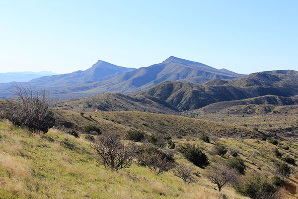
The drive in on the Bloody Basin Road was an adventure. The road was in good shape, but was a much longer drive than I had expected. The descent towards the Verde River was winding, steep, sometimes a little loose, and exposed. Here I carefully descended in low gear with 4WD engaged. I had a few views of West and East Cedar Mountains to the south on the drive in. I saw very few other vehicles. It seemed to be a remote place, in spite of it not being very far from Phoenix.
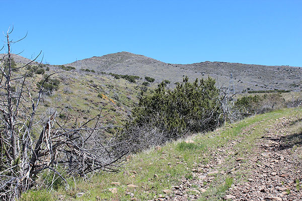
Eventually I found my intended trailhead and parked near CP Tank (a watering hole) in front of a gate across a rarely used road. I crossed through the gate and hiked up the road. Soon I could see the west slopes of the mountain. After passing under a powerline I left the road and hiked directly up the shallow west ridge.
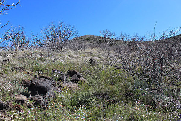
The ridge was brushy and thorny, but cattle and/or game tracks often provided passage around or between Catclaw Acacia (Senegalia greggii). Catclaw is a large bush with thorns that catch your clothes and any exposed skin like the claws of a cat. Fortunately I was able to avoid most of it.
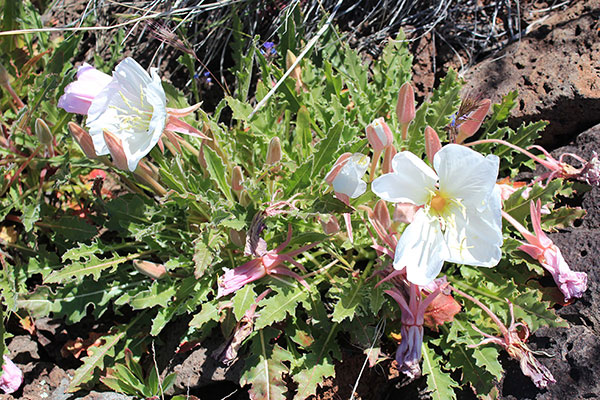
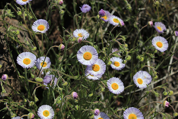
On the way I found a few patches of colorful wildflowers. I lingered, admired, and photographed them. I was later able to identify them with the help of observations and other members of iNaturalist.org.
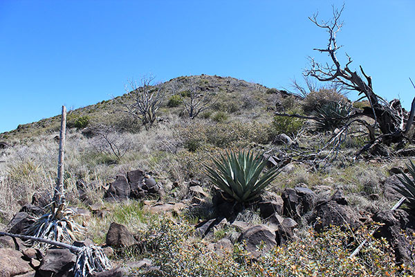
Rock outcroppings helped me avoid some of the denser brush as I climbed the last few hundred feet to the summit.
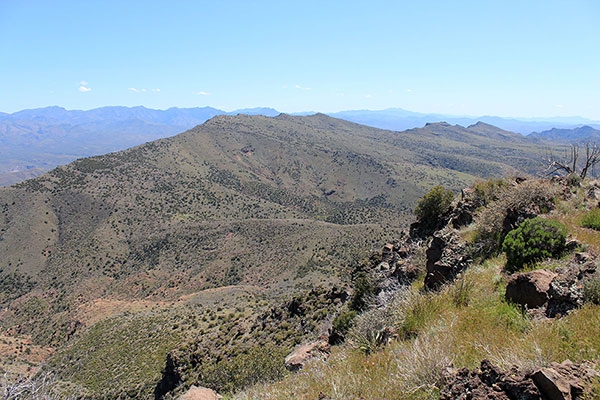
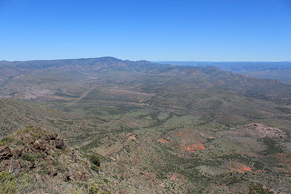
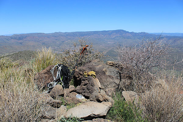
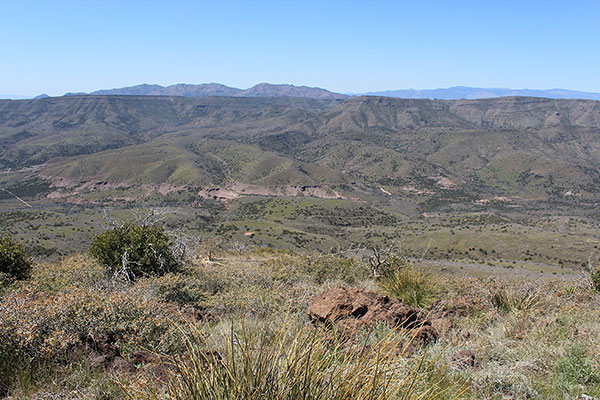
The summit provided very nice views. The weather was warm but not hot and the wind was light. I was able to recognize many distant peaks and mountain ranges, but most of those nearby were new to me. I savored finally visiting West Cedar Mountain and dawdled on the summit ridge photographing the peaks and flowers.
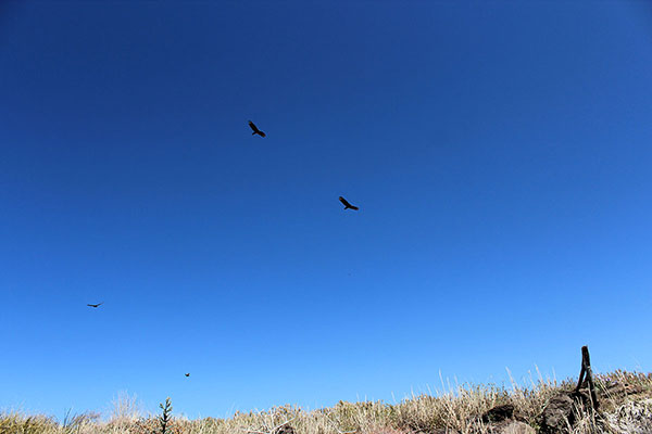
Eventually I started my descent from the summit and immediately four vultures circled above me. It was time to head home after a productive few days of climbing Arizona prominence peaks.

Leave a Reply