On October 26 and 27 I hiked Mount Baldy and Escudilla Mountain in the White Mountains of Arizona. These two peaks had been on my want list for several years, but needed to be hiked in the autumn before snowfall covered the White Mountains.
Thick smoke filled the air as I drove in towards Mount Baldy on October 25. I hoped for better weather the next day and continued towards the Winn Campground beyond the trailhead. The campground was closed so instead I found a dispersed campsite nearby. After a pleasant dinner I discovered parts of an elk carcass nearby. It was a breezy and cool evening and after sunset I heard coyotes howling and elk bugling. After the moon set the sky filled with many stars. The White Mountains are far from population centers and the high open country makes for excellent night sky watching.
Mount Baldy
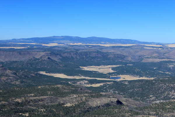
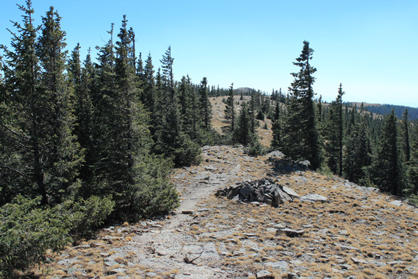
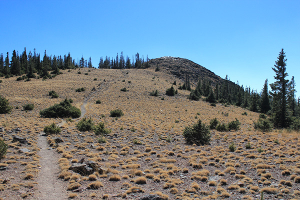
The next morning the sky was clear of smoke. I followed the West Baldy Trail to near the North Peak of Mount Baldy, meeting only one person on the long hike in. From there a climbers trail leads over the North Peak to the summit of Mount Baldy. Just before I reached the North Peak I cached my pack behind brush and carried only my camera, GPS handset, and hiking poles further. The last ridge was windy and cool, over 11000 feet of elevation, and I was moving quickly. I reached the summit, took photos, recorded waypoints, thanked Mount Baldy for letting me visit, and headed back. Mount Baldy is considered sacred to the Apache so I was careful not to linger on the summit and left only footprints there.
Mount Baldy is the sixth most prominent peak in Arizona with 4723 feet of prominence. It is the highest point in Arizona outside the San Francisco Peaks in the Flagstaff area with 11403 feet of elevation. I think those who claim that the North Peak is slightly higher than the Mount Baldy summit are probably correct, based on my GPS readings. The latest USGS map does not have a spot elevation marked for the North Peak. I tagged both points to be sure I have the correct high point in case the USGS revises their maps at some future time. This is a prudent way to play the peakbagging game.
I returned the same route for about 17 miles of hiking and was very tired by the time I returned to the trailhead. The wind seemed cold. I wanted a warm bed before the next day’s adventure, so I found a motel in Springerville for a restful night.
Escudilla Mountain
The next morning was cool, about 25 degrees, as I drove through Nutrioso. But the day warmed up as I drove the forest road towards the Escudilla National Recreation Trail trailhead. I saw many parked vehicles as I drove in, presumably belonging to elk hunters. I was wearing rather neutral colors, but I reassured myself that most hunters now wear camouflage so presumably they are alert at what they shoot at, and the vehicles were below the trailhead parking, nearer water sources.
Escudilla Mountain is the 46th most prominent peak in Arizona with 2372 feet of prominence. With 10912 feet of elevation Escudilla Mountain can be considered the third highest mountain in Arizona after Humphrey’s Peak and Mount Baldy, since other higher peaks in Arizona are subpeaks of those two.
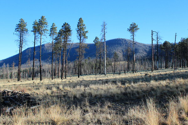
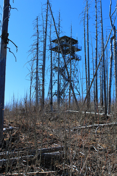
I followed the Escudilla National Recreation Trail to the Escudilla fire lookout tower and Benchmark. The trail to the fire lookout tower was in good shape with only a few downed trees needing to be stepped over or around. I reached the tower located on a scenic point surrounded by burned forest. The area was severely affected by the Wallow Fire of June 2011. The tower is fenced, but it is easy to cross under the fence and I climbed most of the way up the tower for photos.
From the fire lookout tower I could see the summit knoll about 0.6 miles north. I returned to the trail, then hiked cross country to the summit. This began with some brushy young aspen trees to work through, then the burned forest became more open with many downed trees that were easy to cross over or avoid.
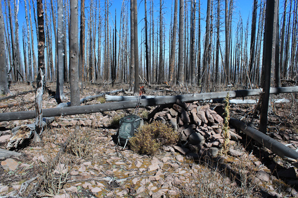
I reached the summit marked by a rock cairn containing a summit register. The register notebook had recently been replaced and so while I saw many entries they were too recent to include those from friends I knew had previously visited. I relaxed and ate lunch at the summit, surrounded by the burned forest and the eerie sound of wind screeching through the burned timber around me.
Morenci Copper Mine
I returned to the trailhead and drove back to Tucson by way of Alpine and Morenci. This was a slow and curvy drive but it was fun to see that part of Arizona for the first time. Near Morenci I was amazed by the huge open pit and tailings of the Morenci Copper Mine. It appeared quite active as I drove by.

Leave a Reply