On New Years Eve I climbed “OK Notch Peak” in the Southern Dragoon Mountains of Arizona east of the city of Tombstone, Arizona. OK Notch Peak is named for the “OK Notch” that lies on its northern ridge. This peak has 1084 feet of topographic prominence, making it a “P1K” and an attractive goal for local peakbaggers. Several of my peakbagging friends have climbed OK Notch Peak. They have published useful trip reports, and I expected a short, but rewarding outing close to my home in Tucson.

That morning I drove to Tombstone, then turned east on Gleeson Road. After several miles I found the dirt road providing access to OK Notch Peak and I passed through an unlocked wire gate.

OK Notch Peak was in prominent view nearby and the road led me closer. The road was eroded in spots but my Jeep had adequate clearance. 4WD was useful in a few spots. I drove through a second, open gate. Soon thereafter decided I was close enough to the peak, parked, and started hiking the road.


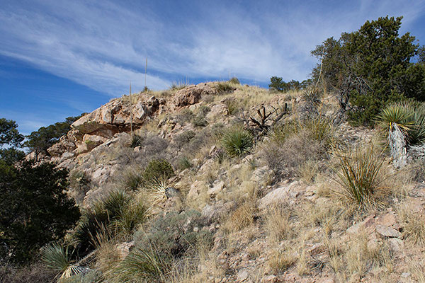
I followed the road to below the east face of the peak. I considered the options. Wade Luther and Matthias Stender had used a steep gully to my left. But the steep, rocky buttress facing me immediately to the right of the gully seemed more interesting. There appeared many options up the buttress, over and around rock outcroppings. So I headed up the buttress.


Climbing the buttress was easy enough, but midway up I found the footing sandy and loose. Some of the hand and foot holds were loose as well. There was no real exposure, but I thought descending the route would be less pleasant. Higher, the slope laid back and I hiked up through open forest to the south ridge, just below the summits.


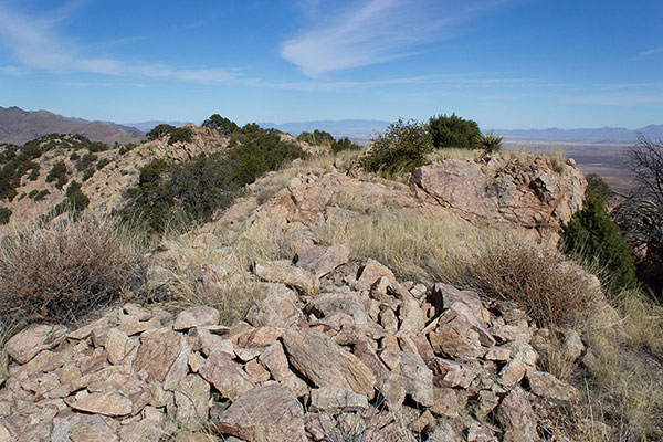
The two summit candidates came into view. I stopped at southernmost one first. There was no summit registry here. The northern summit seemed a little higher.
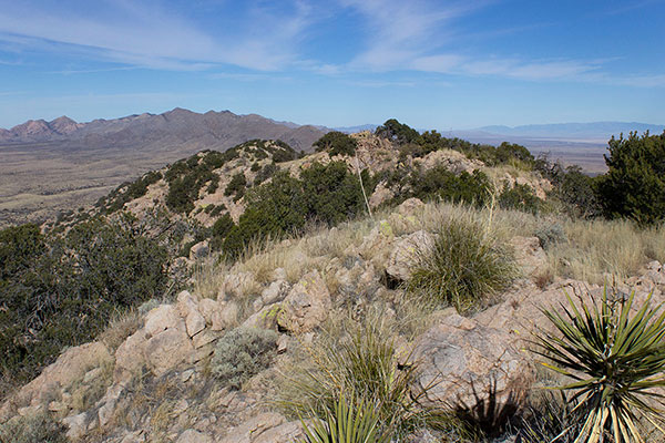
I continued north along the ridge, dropping down to my right to climb around an intermediate point, then regained the ridge to reach the northern summit.

From here, the southern summit appeared possibly higher. Some peakbaggers carry tools to help identify the highest point. But even then, they have not been able to conclusively determine which point is the highest. Fortunately, it was easy to tag all the candidates to be sure.


The northern summit did have three registries in two locations. The oldest jar had brittle and mostly unreadable paper. A bottle had a coiled up brown paper bag stuffed inside. The third registry was a jar with lid and the better protected paper was readable, if brittle. I read the entries, recognized several names, and added my name to it. Then I took an early lunch.


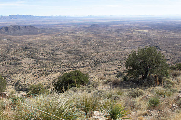
I enjoyed the views of surrounding mountain ranges. I was pleased to identify so many ranges and peaks I have visited over the many winter seasons we have spent in Arizona. The wind was calm and the temperature pleasant. After taking photos I started my descent.

I followed my ascent route back towards my ascent buttress. Lower, I turned and descended the gully my friends had taken before me. The gully was less steep than the buttress, but the footing was loose here as well. I descended slowly and arrived eventually back at the dirt road without incident.

After a short hike I returned to my Jeep, happy to have visited another prominent peak in the Dragoon Mountains. Another peak awaits my visit.

Leave a Reply